File:Blank US Map with borders.svg
跳转到导航
跳转到搜索

此SVG文件的PNG预览的大小:800 × 495像素。 其他分辨率:320 × 198像素 | 640 × 396像素 | 1,024 × 633像素 | 1,280 × 791像素 | 2,560 × 1,583像素 | 959 × 593像素。
原始文件 (SVG文件,尺寸为959 × 593像素,文件大小:144 KB)
说明
说明
添加一行文字以描述该文件所表现的内容
摘要
[编辑]
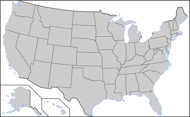
| 描述 | Blank US Map with borders. Light blue for water borders and black for land borders (international borders thicker). |
| 日期 |
2009-03-12 Originally uploaded over Image:Blank US Map.svg |
| 来源 | 基于如下对象的个人作品: Blank US Map.svg |
| 作者 | User:AMK1211 |
| 其他版本 |
此文件衍生的作品: |
| SVG开发 |
许可协议
[编辑]

|
已授权您依据自由软件基金会发行的无固定段落及封面封底文字(Invariant Sections, Front-Cover Texts, and Back-Cover Texts)的GNU自由文件许可协议1.2版或任意后续版本的条款,复制、传播和/或修改本文件。该协议的副本请见“GNU Free Documentation License”。 |
| 本文件采用知识共享署名-相同方式共享 3.0 未本地化版本许可协议授权。 | ||
| ||
| 本许可协议标签作为GFDL许可协议更新的组成部分被添加至本文件。 |
文件历史
点击某个日期/时间查看对应时刻的文件。
| 日期/时间 | 缩略图 | 大小 | 用户 | 备注 | |
|---|---|---|---|---|---|
| 当前 | 2010年11月12日 (五) 03:04 | | 959 × 593(144 KB) | Theodor Langhorne Franklin(留言 | 贡献) | Added more water borders. Made a water borders layer. |
| 2010年11月12日 (五) 02:17 |  | 959 × 593(134 KB) | Theodor Langhorne Franklin(留言 | 贡献) | Added layers so that land borders could be easily selected to change their color. Added water boundary to Maine. | |
| 2008年10月9日 (四) 16:36 |  | 959 × 593(171 KB) | Holly Cheng(留言 | 贡献) | {{Information |Description=Blank US Map with borders. Light blue for water borders and black for land borders (international borders thicker). |Source=Self-made by User:AMK1211 |Date=Original upload date: 00:20, 12 March 2008 (UTC) |Author=[[User:AMK1 |
您不可以覆盖此文件。
文件用途
以下3个页面使用本文件:
全域文件用途
以下其他wiki使用此文件:
- de.wikipedia.org上的用途
- diq.wikipedia.org上的用途
- es.wikipedia.org上的用途