File:Blank map of Canada.svg
跳至導覽
跳至搜尋

此 SVG 檔案的 PNG 預覽的大小:706 × 599 像素。 其他解析度:283 × 240 像素 | 566 × 480 像素 | 905 × 768 像素 | 1,206 × 1,024 像素 | 2,413 × 2,048 像素 | 1,085 × 921 像素。
原始檔案 (SVG 檔案,表面大小:1,085 × 921 像素,檔案大小:82 KB)
說明
說明
添加單行說明來描述出檔案所代表的內容
摘要
[編輯]
| 描述 |
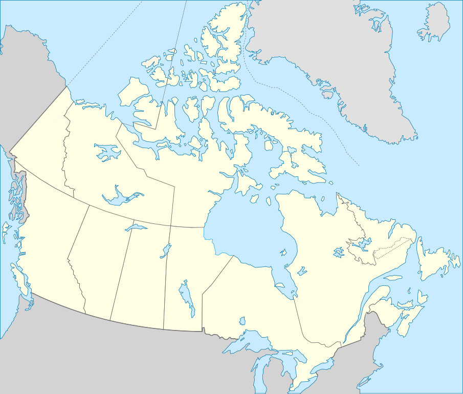
Deutsch: Karte von Kanada. English: Blank map showing territory governed by provinces and territories of Canada. Español: Mapa de Canadá. Français : Carte vierge montrant les provinces et les territoires du Canada. |
| 日期 | (UTC) |
| 來源 | |
| 作者 |
|
| 其他版本 | Derivative works of this file: Лабрадорско Море.svg |
.svg)
| 這是一張修飾過的圖片,即本圖片是用軟體修改過後的版本,修改的方式或內容有: Français : Ajout de certains lacs et frontières English: Added few borders and lakes 。原版圖片來源:Carte du Québec au sein du Canada.svg。修改者:Riba。
|
本vector image使用Inkscape創作 .
授權條款
[編輯]
此檔案採用創用CC 姓名標示-相同方式分享 3.0 未在地化版本授權條款。
- 您可以自由:
- 分享 – 複製、發佈和傳播本作品
- 重新修改 – 創作演繹作品
- 惟需遵照下列條件:
- 姓名標示 – 您必須指名出正確的製作者,和提供授權條款的連結,以及表示是否有對內容上做出變更。您可以用任何合理的方式來行動,但不得以任何方式表明授權條款是對您許可或是由您所使用。
- 相同方式分享 – 如果您利用本素材進行再混合、轉換或創作,您必須基於如同原先的相同或兼容的條款,來分布您的貢獻成品。
原始上傳日誌
[編輯]
This image is a derivative work of the following images:
- File:Canada_(geolocalisation).svg licensed with Cc-by-sa-2.5,2.0,1.0, Cc-by-sa-3.0-migrated, GFDL
- 2007-02-07T01:48:11Z STyx 1084x920 (95884 Bytes) retouche mineure
- 2007-02-07T01:41:09Z STyx 1084x920 (95939 Bytes) {{Created with Inkscape}} {{Information |Description= *{{fr}} Version recadrée et épurée de [[:Image:Carte administrative du Canada.svg]] pour la géolocation du Canada. Le cadrage est x=80px, y=166px, height=920, width=10
- File:Carte_du_Québec_au_sein_du_Canada.svg licensed with Cc-by-sa-3.0,2.5,2.0,1.0, FAL
- 2011-12-08T14:56:55Z Riba 1083x919 (82028 Bytes) Minor corrections of colors.
- 2011-09-27T19:51:30Z Sémhur 1083x919 (77011 Bytes) == {{int:filedesc}} == {{Information |Description={{Multilingual description |en= Blank map showing [[:en:Québec|]] in Canada, in red, with the disputed area between Quebec and Labrador, in pink. |fr= Carte montrant le [[:fr
Uploaded with derivativeFX
檔案歷史
點選日期/時間以檢視該時間的檔案版本。
| 日期/時間 | 縮圖 | 尺寸 | 使用者 | 備註 | |
|---|---|---|---|---|---|
| 目前 | 2011年12月14日 (三) 22:10 | | 1,085 × 921(82 KB) | Riba(留言 | 貢獻) | == {{int:filedesc}} == {{Information |Description={{Multilingual description |en= Blank map showing provinces and territories of Canada. |fr= Carte vierge montrant les provinces et les territoires du Canada. |de=Karte von Kanada. |es=Mapa de Canadá.}} |S |
無法覆蓋此檔案。
檔案用途
下列9個頁面有用到此檔案:
- Commons:Wiki Loves Monuments 2014 Canada
- Commons:Wiki Loves Monuments 2017 in Canada
- Commons:Wiki Loves Monuments 2018 in Canada
- Commons:Wiki Loves Monuments 2019 in Canada
- Commons:Wiki Loves Monuments 2020 in Canada
- Commons:Wiki Loves Monuments 2024 in Canada
- Commons:Wiki Loves Monuments Canada/Map en
- Commons:Wiki Loves Monuments Canada/Map fr
- File:Лабрадорско Море.svg
全域檔案使用狀況
以下其他 wiki 使用了這個檔案:
- en.wikipedia.org 的使用狀況
- es.wikipedia.org 的使用狀況
- Aeropuerto Toronto City Centre
- Aeropuerto Internacional James Armstrong Richardson
- Aeropuerto Internacional de Halifax-Stanfield
- Aeropuerto Internacional de Edmonton
- Aeropuerto Internacional de Ottawa
- Aeropuerto Internacional de Saskatoon-John G. Diefenbaker
- Aeropuerto Internacional de Calgary
- Aeropuerto Internacional de San Juan de Terranova
- Aeropuerto Internacional Jean-Lesage de Quebec
- Aeropuerto Internacional del Gran Moncton
- Aeropuerto Internacional de London
- Aeropuerto de Fort McMurray
- Aeropuerto Internacional de Kelowna
- Aeropuerto Internacional de Regina
- Aeropuerto Internacional de Victoria
- Aeropuerto Internacional de Hamilton-Munro
- Aeropuerto Internacional de Abbotsford
- Aeropuerto Internacional de la Región de Waterloo
- Aeropuerto de Saint John
- Jardín botánico de Toronto
- Jardines Ornamentales de Ottawa
- fa.wikipedia.org 的使用狀況
- fr.wikipedia.org 的使用狀況
- Catégorie:Politique au Canada par province ou territoire
- Catégorie:Entreprise ayant son siège au Canada par province ou territoire
- Catégorie:Enseignement au Canada par province ou territoire
- Catégorie:Sport au Canada par province ou territoire
- Catégorie:Géographie du Canada par province ou territoire
- Catégorie:Aire protégée fédérale au Canada par province ou territoire
- Catégorie:Droit au Canada par province ou territoire
- Catégorie:Transport au Canada par province ou territoire
- Catégorie:Média au Canada par province ou territoire
- Catégorie:Environnement au Canada par province ou territoire
- Catégorie:Naissance au Canada par province ou territoire
- Catégorie:Décès au Canada par province ou territoire
- Catégorie:Histoire du Canada par province ou territoire
- Catégorie:Bâtiment au Canada par province ou territoire
- Catégorie:Équipement sportif au Canada par province ou territoire
- Catégorie:Pont au Canada par province ou territoire
- Catégorie:Aire protégée au Canada par province ou territoire
- Catégorie:Club sportif au Canada par province ou territoire
- Catégorie:Île au Canada par province ou territoire
檢視此檔案的更多全域使用狀況。