File:British Isles England.svg
跳至導覽
跳至搜尋

此 SVG 檔案的 PNG 預覽的大小:343 × 600 像素。 其他解析度:137 × 240 像素 | 274 × 480 像素 | 439 × 768 像素 | 586 × 1,024 像素 | 1,171 × 2,048 像素 | 675 × 1,180 像素。
原始檔案 (SVG 檔案,表面大小:675 × 1,180 像素,檔案大小:150 KB)
說明
說明
添加單行說明來描述出檔案所代表的內容
檔案歷史
點選日期/時間以檢視該時間的檔案版本。
| 日期/時間 | 縮圖 | 尺寸 | 使用者 | 備註 | |
|---|---|---|---|---|---|
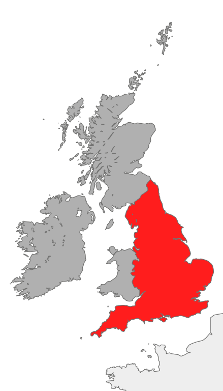
| 目前 | 2007年10月20日 (六) 18:39 | | 675 × 1,180(150 KB) | Cnbrb(留言 | 貢獻) | == Summary == {{Information |Description=map showing the area of England in relation to Great Britain and Ireland |Source=self-made |Date=2007-20-09 |Author= Cnbrb }} Category:Locator maps of countries of the United Kingdom [[Category: |
無法覆蓋此檔案。
檔案用途
沒有使用此檔案的頁面。
全域檔案使用狀況
以下其他 wiki 使用了這個檔案:
- ar.wikipedia.org 的使用狀況
- ast.wiktionary.org 的使用狀況
- cs.wikipedia.org 的使用狀況
- en.wikipedia.org 的使用狀況
- es.wikipedia.org 的使用狀況
- fr.wikipedia.org 的使用狀況
- hr.wiktionary.org 的使用狀況
- hu.wikipedia.org 的使用狀況
- id.wikipedia.org 的使用狀況
- it.wikipedia.org 的使用狀況
- kaa.wikipedia.org 的使用狀況
- ku.wikipedia.org 的使用狀況
- ro.wikipedia.org 的使用狀況
- ru.wikipedia.org 的使用狀況
- ss.wikipedia.org 的使用狀況
- tr.wikipedia.org 的使用狀況
- uk.wikipedia.org 的使用狀況
- vi.wikipedia.org 的使用狀況
- zh.wikipedia.org 的使用狀況