File:Brong Ahafo districts.png
跳转到导航
跳转到搜索

本预览的尺寸:776 × 600像素。 其他分辨率:311 × 240像素 | 621 × 480像素 | 994 × 768像素 | 1,056 × 816像素。
原始文件 (1,056 × 816像素,文件大小:49 KB,MIME类型:image/png)
说明
说明
添加一行文字以描述该文件所表现的内容
摘要
[编辑]
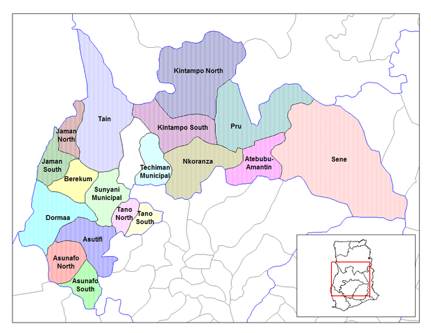
| 描述 | Map of the districts of the Brong Ahafo region of Ghana. Created by Rarelibra for public domain use. Created using MapInfo Professional v7.5 and various mapping resources. |
| 日期 | 2006年6月28日 (原始上传日期) |
| 来源 | 无法识别来源。根据版权声明推断为其自己的作品。 |
| 作者 | 无法识别作者。根据版权声明推断作者为Ahanta。 |
许可协议
[编辑]
| 我,本作品著作权人,释出本作品至公有领域。这适用于全世界。 在一些国家这可能不合法;如果是这样的话,那么: 我无条件地授予任何人以任何目的使用本作品的权利,除非这些条件是法律规定所必需的。 |
文件历史
点击某个日期/时间查看对应时刻的文件。
| 日期/时间 | 缩略图 | 大小 | 用户 | 备注 | |
|---|---|---|---|---|---|
| 当前 | 2006年6月28日 (三) 10:27 | | 1,056 × 816(49 KB) | Ahanta(留言 | 贡献) | Map of the districts of the Brong Ahafo region of Ghana. Created by Rarelibra for public domain use. Created using MapInfo Professional v7.5 and various mapping resources. [edit] I, the creator of this work, hereby release it into the public domain. This |
您不可以覆盖此文件。
文件用途
以下页面使用本文件:
全域文件用途
以下其他wiki使用此文件:
- ca.wikipedia.org上的用途
- ceb.wikipedia.org上的用途
- dag.wikipedia.org上的用途
- da.wikipedia.org上的用途
- de.wikipedia.org上的用途
- dga.wikipedia.org上的用途
- en.wikipedia.org上的用途
- Dormaa District
- Asutifi District
- Nkoranza District
- Sene District
- Atebubu District
- Pru District
- Jaman District
- Jaman South Municipal District
- Berekum-Jaman District
- Kintampo District
- Asunafo District
- User talk:Rarelibra/Maps2
- List of hospitals in Ghana
- List of Ghana Parliament constituencies
- Nsoatre
- User:GerardM/Districts of Ghana
- Tano District, Ghana
- es.wikipedia.org上的用途
- fa.wikipedia.org上的用途
- frr.wikipedia.org上的用途
- fr.wikipedia.org上的用途
查看此文件的更多全域用途。