File:Burkina Faso relief location map.jpg
Zur Navigation springen
Zur Suche springen
Greßi vu däre Vorschau: 800 × 589 Pixel. Wyteri Ufflösige: 320 × 236 Pixel | 640 × 471 Pixel | 900 × 663 Pixel.
Originaldatei (900 × 663 Pixel, Dateigrößi: 527 KB, MIME-Typ: image/jpeg)
Bildtexte
Kurzbeschreibungen
Ergänze eine einzeilige Erklärung, was diese Datei darstellt.
Bschryybig[ändere]
| Bschryybig |
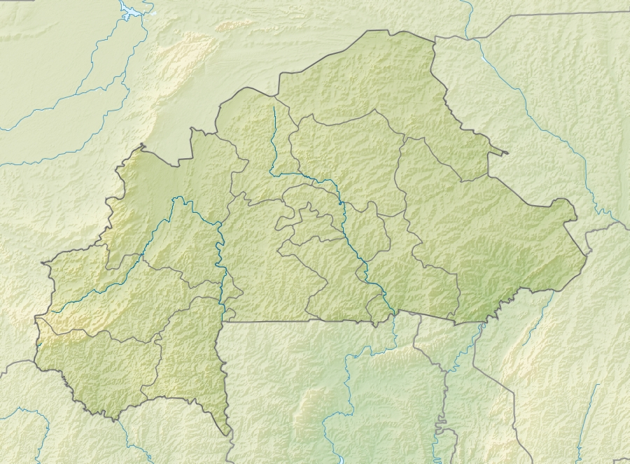
English: Location map of Burkina Faso Equirectangular projection. Strechted by 102%. Geographic limits of the map:
  * N: 15.5° N
  * S: 9° N
  * W: 6° W
  * E: 3° E
Made with Natural Earth. Free vector and raster map data @ naturalearthdata.com. |
| Datum | |
| Quälle | Eigeni Arbet |
| Urheber | Uwe Dedering |
| Anderi Versione |
|

Lizänzierig[ändere]
Ich haa s Urheberrächt an däm Wärch un vereffetlig s dodermit unter däne Lizänze:
Die Datei isch lizänziert unter dr Creative-Commons-Lizenz Namensnännig – Wytergab unter glyche Bedingige 3.0 nit portiert.
- Du derfsch:
- des Wärch an anderi wytergee – des Wärch kopiere, verbreite un ibertrage
- des Wärch verändere – des Wärch aapasse
- Unter däne Bedingige:
- Namenännig – Du muesch aagmässeni Aagabe zum Urheber un dr Rächt mache, e Link zue dr Lizänz zuefiege un aagee, eb Änderige gmacht wore sin. Die Aagabe chenne in ere aagmässene Art gmacht wäre, aber nit eso, ass dr Yydruck entstoht, ass dr Lizänzgeber Dii oder Dyy Gebruch vum Wärch unterstitze un guetheiße.
- Wytergab unter glyche Bedingige – Wänn du des Wärch veränderesch, umwandlesch oder druf ufböusch, no derfsch s Ergebnis nume unter dr glyche oder ere kumpatible Lizänz wie s Orginal vereffetlige.

|
Des Dokumänt derf kopiert, verbreitet un/oder bearbeitet wäre unter dr Bedingige vu dr GNU-Lizänz fir freji Dokumäntation, Version 1.2 oder ere spetere Version, vereffetligt dur Free Software Foundation. S het keini uuveränderlige Abschnitt, kei vordere Umschlagstext un kei hindere Umschlagstext. E Kopii vu dr Lizänz isch verfiegbar im Abschnitt GNU-Lizänz fir freji Dokumäntation. |
Du chasch sälber e Lizänz uuswehle.
Dateiversione
Klick uf e Zytpunkt zu aazeige, wie s dert usgsäh het.
| Version vom | Vorschaubild | Mäß | Benutzer | Kommentar | |
|---|---|---|---|---|---|
| aktuell | 11:30, 24. Apr. 2010 | | 900 × 663 (527 KB) | Uwe Dedering (Diskussion | Byträg) | {{Information |Description={{en|1=English: Location map of Burkina Faso Equirectangular projection. Strechted by 102%. Geographic limits of the map: * N: 15.5° N * S: 9° N * W: 6° W * E: 3° E Made with Natural Earth. Free vector and rast |
Du chasch die Datei nit iberschryybe.
Verwändig vu dr Datei
Die Syte bruucht die Datei:
Wältwyti Dateinutzig
Die andere Wikis bruche die Datei:
- Gebruch uf als.wikipedia.org
- Gebruch uf ast.wikipedia.org
- Gebruch uf az.wikipedia.org
- Gebruch uf ba.wikipedia.org
- Gebruch uf be.wikipedia.org
- Gebruch uf bg.wikipedia.org
- Gebruch uf bn.wikipedia.org
- Gebruch uf bs.wikipedia.org
- Gebruch uf ca.wikipedia.org
- Gebruch uf ceb.wikipedia.org
- Gebruch uf ce.wikipedia.org
- Gebruch uf ckb.wikipedia.org
- Gebruch uf cs.wikipedia.org
- Gebruch uf da.wikipedia.org
- Gebruch uf de.wikipedia.org
- Burkina Faso
- Obervolta
- Tena Kourou
- Cascades de Karfiguéla
- Mare d’Oursi
- Mare aux Hippopotames
- Tengrélasee
- Bamsee
- Demsee
- Vorlage:Positionskarte Burkina Faso
- Kompienga-Stausee
- Pic de Nahouri
- Bagré-Stausee
- Ziga-Stausee
- Wikipedia:Kartenwerkstatt/Positionskarten/Afrika
- Benutzer:Uwe Dedering
- Benutzer:Uwe Dedering/Länderliste
- Goldtagebau Essakane
- Gebruch uf de.wikivoyage.org
Wältwyti Verwändig vu däre Datei aaluege.