File:C&A Zeil.jpg
Here nagîvasyonê
Here lêgerînê
Mezinahiya vê pêşdîtinê: 800 × 533 pîksel. Resolusyonên din: 320 × 213 pîksel | 640 × 427 pîksel | 1024 × 683 pîksel | 1280 × 853 pîksel | 1800 × 1200 pîksel.
Dosyeya orjînal (1800 × 1200 pixel, mezinbûnê data: 1,48 MB, MIME-typ: image/jpeg)
Captions
Captions
Add a one-line explanation of what this file represents
Danasîn
[biguhêre]| Şûnda kamerayê | | Ev wêne û yên din li ser OpenStreetMap |
|---|
| Danasîn |
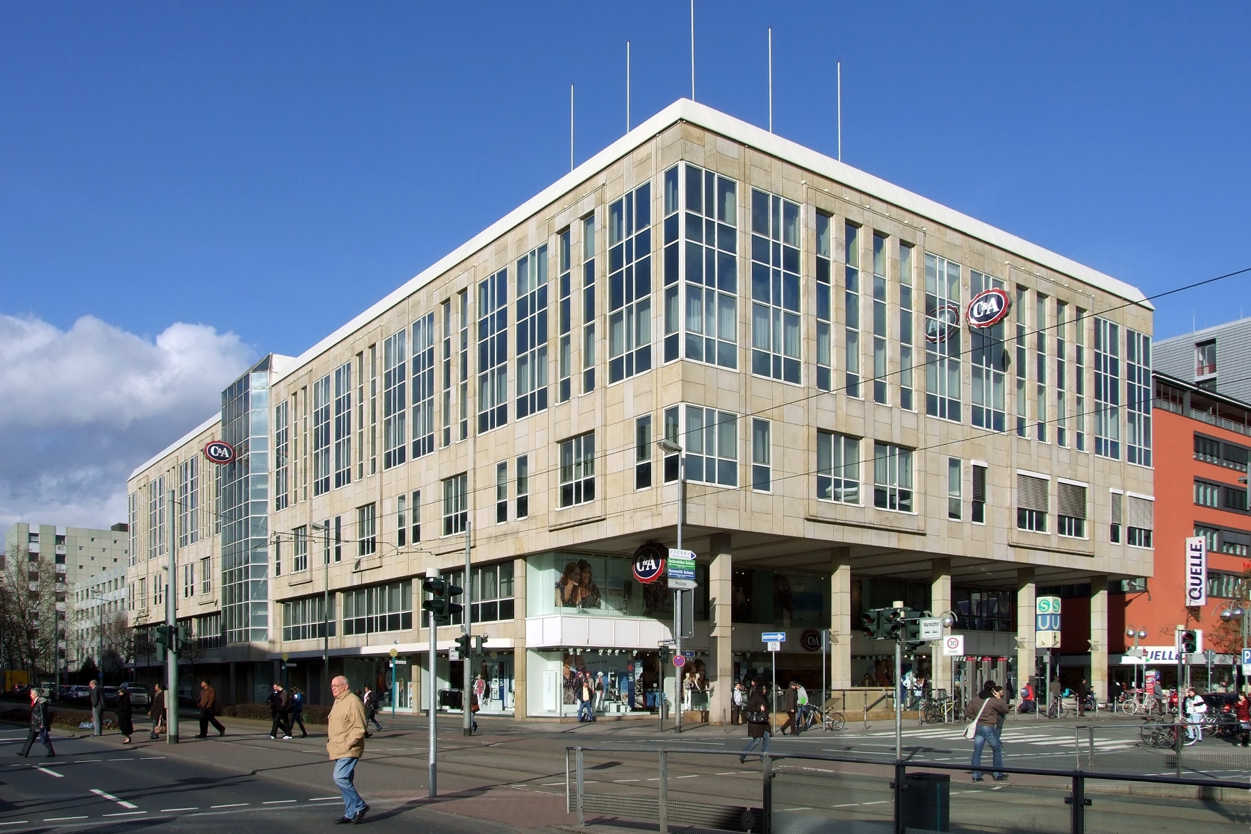
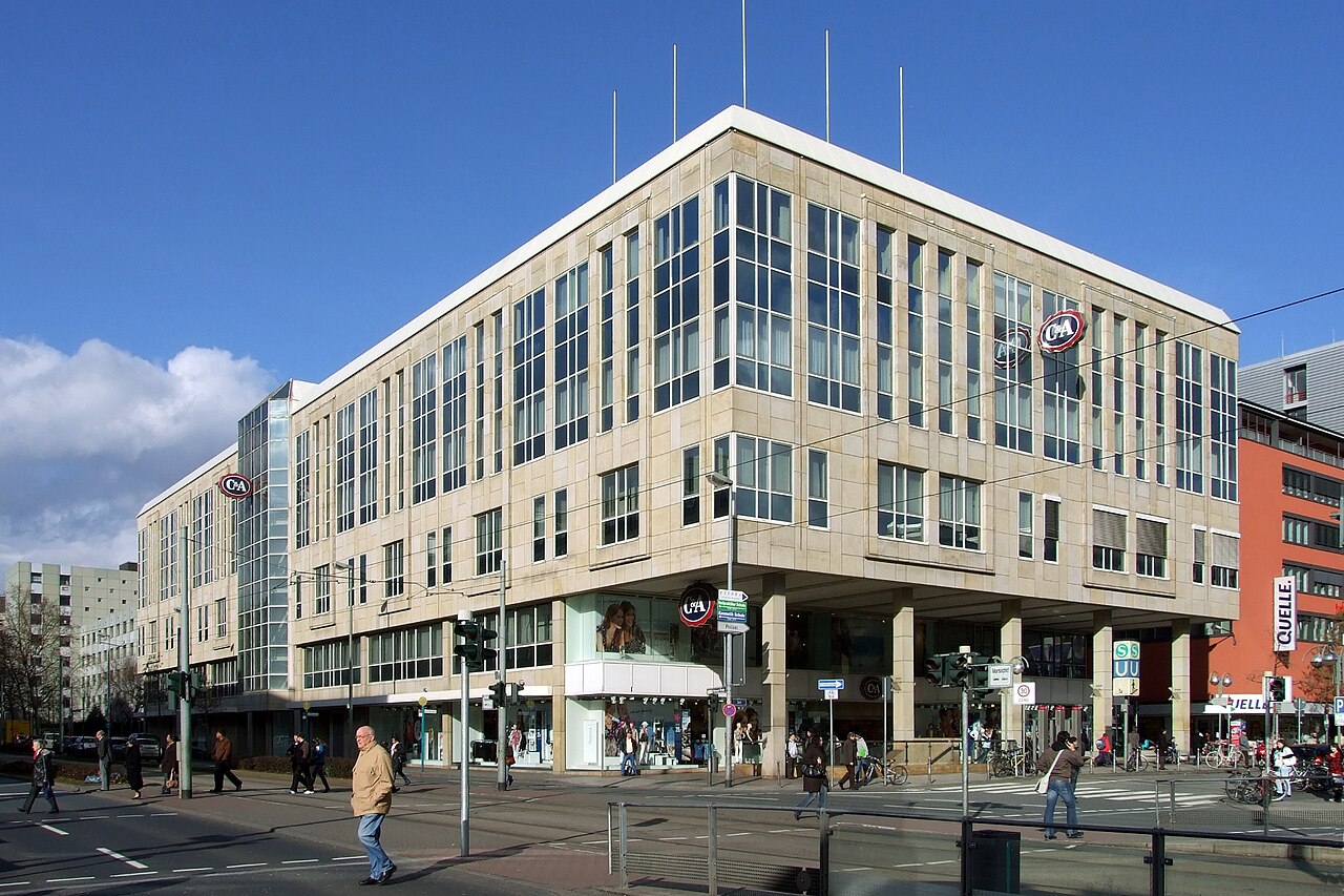
English: C&A Frankfurt, Zeil Deutsch: C&A Frankfurt, Zeil |
| Çavkanî | Min çêkir |
| Xwedî | Torben |
Lîsans
[biguhêre]
|
Permission is granted to copy, distribute and/or modify this document under the terms of the GNU Free Documentation License, Version 1.2 only as published by the Free Software Foundation; with no Invariant Sections, no Front-Cover Texts, and no Back-Cover Texts. A copy of the license is included in the section entitled GNU Free Documentation License. | 1.2 only |
| This file is licensed under the Creative Commons ‘Attribution-Noncommercial-No Derivative Works 3.0’ Licence: https://creativecommons.org/licenses/by-nc-nd/3.0/ Diese Datei steht unter der Lizenz Creative Commons „Namensnennung-Keine kommerzielle Nutzung-Keine Bearbeitung 3.0“ Lizenz: https://creativecommons.org/licenses/by-nc-nd/3.0/deed.de |
-->
Dîroka daneyê
Ji bo dîtina guhartoya wê demê bişkoka dîrokê bitikîne.
| Dîrok/Katjimêr | Wêneyê biçûk | Mezinahî | Bikarhêner | Şirove | |
|---|---|---|---|---|---|
| niha | 22:17, 9 adar 2009 | | 1800 x 1200 (1,48 MB) | Torben (gotûbêj | beşdarî) | {{User:Torben/Info | de = C&A Frankfurt, Zeil | en = C&A Frankfurt, Zeil | location = Innenstadt | φ = 50.11455768961457 | λ = 8.687692433595657 | α = NO | date = 2009-03-09 }} #048 #048 < |
Tu nikarî cardin li ser vê dosyeyê binivîsînî.
Bikaranîna pelê
Rûpelekî ku ji vê dosyeyê bi kar tîne nîne.
Bikaranîna gerdûnî ya pelê
Ev wîkiyên di rêzê de vê pelê bi kar tînin:
- Bikaranîna di de.wikipedia.org de