File:Côte d’Azur overview map.png
跳转到导航
跳转到搜索

本预览的尺寸:800 × 495像素。 其他分辨率:320 × 198像素 | 640 × 396像素 | 1,024 × 633像素 | 1,280 × 791像素 | 2,560 × 1,583像素 | 7,377 × 4,561像素。
原始文件 (7,377 × 4,561像素,文件大小:14.04 MB,MIME类型:image/png)
说明
说明
添加一行文字以描述该文件所表现的内容
摘要
[编辑]
| 相机位置 | | 在以下服务上查看本图像和附近其他图像: OpenStreetMap |
|---|
| 描述 |
|
| 日期 | |
| 来源 |
|
| 作者 |
|
| 其他版本 |
 |
许可协议
[编辑]
| This work is licensed under the Open Database License (summary). |
文件历史
点击某个日期/时间查看对应时刻的文件。
| 日期/时间 | 缩略图 | 大小 | 用户 | 备注 | |
|---|---|---|---|---|---|
| 当前 | 2022年5月7日 (六) 10:05 | | 7,377 × 4,561(14.04 MB) | Pechristener(留言 | 贡献) | Provinzen angeschrieben |
| 2021年6月12日 (六) 21:26 |  | 7,377 × 4,561(13.94 MB) | Pechristener(留言 | 贡献) | einige Korrekturen | |
| 2021年3月18日 (四) 09:14 |  | 3,689 × 2,281(4.78 MB) | Pechristener(留言 | 贡献) | grössere Schrift | |
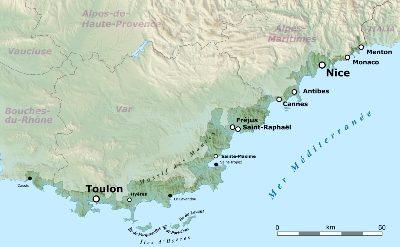
| 2021年3月18日 (四) 08:16 |  | 3,689 × 2,281(4.78 MB) | Pechristener(留言 | 贡献) | == {{int:filedesc}} == {{Location|43.449856|6.5415625}} {{Information |Description={{en|Map of French Riviera, France.}} {{fr|Carte de la Côte d'Azur, France.}}<br/> Geographic limits of the map:<br/> *Left: 5.359887<br/> *Right: 7.723238<br/> *Top: 43.979415<br/> *Bottom: 42.920297 |Source= * [http://www.openstreetmap.org Openstreetmap] data * relief: STRM data |Date=2021-03-10 |Author= * OpenStreetMap data: openStree... |
您不可以覆盖此文件。
文件用途
以下5个页面使用本文件:
全域文件用途
以下其他wiki使用此文件:
- ar.wikipedia.org上的用途
- ast.wikipedia.org上的用途
- ca.wikipedia.org上的用途
- de.wikipedia.org上的用途
- en.wikipedia.org上的用途
- eo.wikipedia.org上的用途
- eu.wikipedia.org上的用途
- fa.wikipedia.org上的用途
- fr.wikipedia.org上的用途
- ga.wikipedia.org上的用途
- it.wikivoyage.org上的用途
- ja.wikipedia.org上的用途
- ro.wikipedia.org上的用途
- simple.wikipedia.org上的用途
- uk.wikipedia.org上的用途
- www.wikidata.org上的用途
- zh.wikipedia.org上的用途