File:California 60.svg
跳至導覽
跳至搜尋

此 SVG 檔案的 PNG 預覽的大小:385 × 401 像素。 其他解析度:230 × 240 像素 | 461 × 480 像素 | 737 × 768 像素 | 983 × 1,024 像素 | 1,966 × 2,048 像素。
原始檔案 (SVG 檔案,表面大小:385 × 401 像素,檔案大小:14 KB)
說明
說明
添加單行說明來描述出檔案所代表的內容
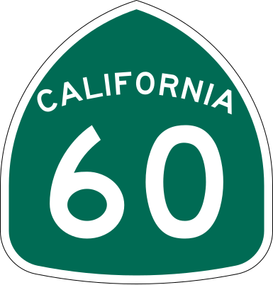
| 描述 | Vector image of a 24 in by 25 in (600 mm by 635 mm) California State Route shield. Colors are from [1] (Pantone Green 342), converted to RGB by [2]. The outside border has a width of 1 (1/16 in) and a color of black so it shows up; in reality, signs have no outside border. |
| 日期 | |
| 來源 | Made to the specifications of the 1971 Caltrans sign drawing (still in use). Uses the Roadgeek 2005 fonts. (United States law does not permit the copyrighting of typeface designs, and the fonts are meant to be copies of a U.S. Government-produced work anyway.) |
| 作者 | SPUI |
| 其他版本 |
|
| SVG開發 | 本向量圖形使用Adobe Illustrator創作。 |
This file is in the public domain because it comes from the California Manual on Uniform Traffic Control Devices, sign number G28-2 (CA), which states specifically in its introduction, on page 44 that:
|
檔案歷史
點選日期/時間以檢視該時間的檔案版本。
| 日期/時間 | 縮圖 | 尺寸 | 用戶 | 備註 | |
|---|---|---|---|---|---|
| 目前 | 2006年3月20日 (一) 16:31 | | 385 × 401(14 KB) | SPUI~commonswiki(對話 | 貢獻) | |
| 2006年3月20日 (一) 13:56 |  | 385 × 401(13 KB) | SPUI~commonswiki(對話 | 貢獻) | ||
| 2006年3月20日 (一) 13:30 | 570 × 2,910(24 KB) | SPUI~commonswiki(對話 | 貢獻) | {{spuiother}} 24 in by 25 in (600 mm by 635 mm) California State Route shield, made to the specifications of the [http://www.dot.ca.gov/hq/traffops/signtech/signdel/specs/G28-2.pdf 1971 Caltrans sign drawing] (still in use). Uses the [http://www.triskele. |
無法覆蓋此檔案。
檔案用途
下列4個頁面有用到此檔案:
全域檔案使用狀況
以下其他 wiki 使用了這個檔案:
- azb.wikipedia.org 的使用狀況
- az.wikipedia.org 的使用狀況
- ca.wikipedia.org 的使用狀況
- de.wikipedia.org 的使用狀況
- en.wikipedia.org 的使用狀況
- U.S. Route 101
- Los Angeles County, California
- San Bernardino County, California
- Greater Los Angeles
- Interstate 10
- Pomona, California
- Interstate 605
- California State Route 91
- Arroyo Seco Parkway
- Interstate 110 and State Route 110 (California)
- Interstate 710 and State Route 710 (California)
- California State Route 57
- Santa Ana Freeway
- Hollywood Freeway
- Interstate 215 (California)
- Santa Ana River
- California State Route 60
- East Los Angeles Interchange
- San Gabriel River (California)
- Four Level Interchange
- Transportation in Los Angeles
- Southern California freeways
- California State Route 39
- California State Route 61
- Eastern California
- California State Route 71
- California State Route 19
- L Line (Los Angeles Metro)
- E Line (Los Angeles Metro)
- Wikipedia:WikiProject U.S. Roads/Redirects/California
- San Bernardino Valley
- California State Route 59
- California State Route 83
- U.S. Route 101 in California
- Interstate 10 in California
- Atlantic Boulevard (Los Angeles County)
- Interstate 15 in California
- List of highways numbered 60
- Interstate 5 in California
- List of state highways in California
- Template:L Line (Los Angeles Metro)
- Template:E Line (Los Angeles Metro)
- Transportation in the Inland Empire
檢視此檔案的更多全域使用狀況。