File:California 90.svg
跳转到导航
跳转到搜索

此SVG文件的PNG预览的大小:385 × 401像素。 其他分辨率:230 × 240像素 | 461 × 480像素 | 737 × 768像素 | 983 × 1,024像素 | 1,966 × 2,048像素。
原始文件 (SVG文件,尺寸为385 × 401像素,文件大小:13 KB)
说明
说明
添加一行文字以描述该文件所表现的内容
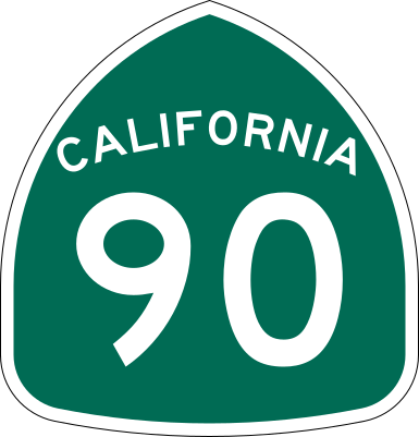
| 描述 | Vector image of a 24 in by 25 in (600 mm by 635 mm) California State Route shield. Colors are from [1] (Pantone Green 342), converted to RGB by [2]. The outside border has a width of 1 (1/16 in) and a color of black so it shows up; in reality, signs have no outside border. |
| 日期 | |
| 来源 | Made to the specifications of the 1971 Caltrans sign drawing (still in use). Uses the Roadgeek 2005 fonts. (United States law does not permit the copyrighting of typeface designs, and the fonts are meant to be copies of a U.S. Government-produced work anyway.) |
| 作者 | SPUI |
| 其他版本 |
|
| SVG开发 | 本矢量图使用Adobe Illustrator创作。 |
This file is in the public domain because it comes from the California Manual on Uniform Traffic Control Devices, sign number G28-2 (CA), which states specifically in its introduction, on page 44 that:
|
文件历史
点击某个日期/时间查看对应时刻的文件。
| 日期/时间 | 缩略图 | 大小 | 用户 | 备注 | |
|---|---|---|---|---|---|
| 当前 | 2006年3月20日 (一) 16:33 | | 385 × 401(13 KB) | SPUI~commonswiki(留言 | 贡献) | |
| 2006年3月20日 (一) 13:49 |  | 385 × 401(13 KB) | SPUI~commonswiki(留言 | 贡献) | {{spuiother}} 24 in by 25 in (600 mm by 635 mm) California State Route shield, made to the specifications of the [http://www.dot.ca.gov/hq/traffops/signtech/signdel/specs/G28-2.pdf 1971 Caltrans sign drawing] (still in use). Uses the [http://www.triskele. |
您不可以覆盖此文件。
文件用途
以下5个页面使用本文件:
全域文件用途
以下其他wiki使用此文件:
- azb.wikipedia.org上的用途
- az.wikipedia.org上的用途
- de.wikipedia.org上的用途
- en.wikipedia.org上的用途
- Orange County, California
- California State Route 1
- Los Angeles County, California
- Greater Los Angeles
- California State Route 91
- California State Route 57
- Interstate 405 (California)
- Santa Ana River
- Transportation in Los Angeles
- Southern California freeways
- California State Route 39
- California State Route 90
- California State Route 142
- Wikipedia:WikiProject U.S. Roads/Redirects/California
- California State Route 89
- Sepulveda Boulevard
- Imperial Highway
- Lincoln Boulevard (Los Angeles County)
- Slauson Avenue
- Centinela Avenue
- List of highways numbered 90
- Harbor Boulevard
- List of state highways in California
- List of streets in Los Angeles
- User:Tv's emory/Sandbox/List of state highways in California
- Template:2002 Placentia train collision map
- 2002 Placentia train collision
- es.wikipedia.org上的用途
- Condado de Los Ángeles
- Sur de California
- Anexo:Carreteras estatales de California
- Ruta Estatal de California 142
- Ruta Estatal de California 91
- Ruta Estatal de California 57
- Ruta Estatal de California 90
- Wikiproyecto:Estados Unidos/Carreteras/CA
- Ruta Estatal de California 39
- Ruta Estatal de California 89
- et.wikipedia.org上的用途
- fr.wikipedia.org上的用途
- hu.wikipedia.org上的用途
- incubator.wikimedia.org上的用途
- it.wikipedia.org上的用途
查看本文件的更多全域用途。