File:Canada Manitoba relief location map.jpg
Salta a la navegació
Salta a la cerca

Mida d'aquesta previsualització: 486 × 599 píxels. Altres resolucions: 195 × 240 píxels | 389 × 480 píxels | 623 × 768 píxels | 831 × 1.024 píxels | 2.184 × 2.692 píxels.
Fitxer original (2.184 × 2.692 píxels, mida del fitxer: 2,61 Mo, tipus MIME: image/jpeg)
Llegendes
Llegendes
Afegeix una explicació d'una línia del que representa aquest fitxer
| Descripció |
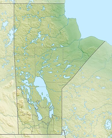
Quadratische Plattkarte, N-S-Streckung 170 %. Geographische Begrenzung der Karte:
Equirectangular projection, N/S stretching 170 %. Geographic limits of the map:
|
| Data | |
| Font |
Treball propi, using
|
| Autor | Carport |
| Permís (Com reutilitzar aquest fitxer) |
Aquest fitxer està subjecte a la llicència de Creative Commons Reconeixement i Compartir Igual 3.0 No adaptada.
|
| Altres versions |
|

Historial del fitxer
Cliqueu una data/hora per veure el fitxer tal com era aleshores.
| Data/hora | Miniatura | Dimensions | Usuari/a | Comentari | |
|---|---|---|---|---|---|
| actual | 17:09, 30 nov 2012 | | 2.184 × 2.692 (2,61 Mo) | Carport (discussió | contribucions) | {{Information |Description= {{de|Physische Positionskarte von Manitoba, Kanada}} Quadratische Plattkarte, N-S-Streckung 170 %. Geographische Begrenzung der Karte: * N: 60.3° N * S: 48.7° N * W: 104.0° W * O: 88.0° W ... |
No podeu sobreescriure aquest fitxer.
Ús del fitxer
Les 3 pàgines següents utilitzen aquest fitxer:
Ús global del fitxer
Utilització d'aquest fitxer en altres wikis:
- Utilització a ar.wikipedia.org
- Utilització a ast.wikipedia.org
- Utilització a ban.wikipedia.org
- Utilització a bg.wikipedia.org
- Utilització a ca.wikipedia.org
- Utilització a de.wikipedia.org
- Winnipegsee
- Winnipegosissee
- Manitobasee
- Vorlage:Positionskarte Kanada Manitoba
- Wikipedia:Kartenwerkstatt/Positionskarten/Nordamerika
- Molson Lake
- Gods Lake
- Cedar Lake (Saskatchewan River)
- Tanco-Mine
- Whiteshell Provincial Park
- Nopiming Provincial Park
- Atikaki Provincial Wilderness Park
- Hecla-Grindstone Provincial Park
- Wasserkraftwerk Kelsey
- Southern Indian Lake
- Island Lake
- Cross Lake
- Playgreen Lake
- Sipiwesk Lake
- Granville Lake
- Dauphin Lake
- Oxford Lake
- Swan Lake (Manitoba)
- West Hawk Lake
- Big Sand Lake (South Seal River)
- Clearwater Lake (Cormorant Lake)
- North Knife Lake
- Pelican Lake (Pembina River)
- Pelican Lake (Pelican River, Manitoba)
- Cormorant Lake
- Nejanilini Lake
- Waskaiowaka Lake
- Commonwealth Lake (Manitoba)
- CKX-TV-Sendemast
Vegeu més usos globals d'aquest fitxer.