File:Canada Prince Edward Island location map 2.svg
跳至導覽
跳至搜尋

此 SVG 檔案的 PNG 預覽的大小:758 × 600 像素。 其他解析度:303 × 240 像素 | 607 × 480 像素 | 971 × 768 像素 | 1,280 × 1,013 像素 | 2,560 × 2,025 像素 | 1,039 × 822 像素。
原始檔案 (SVG 檔案,表面大小:1,039 × 822 像素,檔案大小:248 KB)
說明
說明
添加單行說明來描述出檔案所代表的內容
| 描述 |
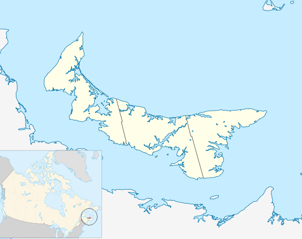
Quadratische Plattkarte, N-S-Streckung 145 %. Geographische Begrenzung der Karte:
Equirectangular projection, N/S stretching 145 %. Geographic limits of the map:
|
| 日期 | |
| 來源 | 自己的作品, based on File:Canada_Prince_Edward_Island_location_map.svg |
| 作者 | Hanhil (talk) 18:14, 24 September 2009 (UTC) based on work by NordNordWest |
| 授權許可 (重用此檔案) |
我,本作品的著作權持有者,決定用以下授權條款發佈本作品: 此檔案採用創用CC 姓名標示-相同方式分享 3.0 未在地化版本授權條款。
|
檔案歷史
點選日期/時間以檢視該時間的檔案版本。
| 日期/時間 | 縮圖 | 尺寸 | 使用者 | 備註 | |
|---|---|---|---|---|---|
| 目前 | 2009年9月24日 (四) 18:14 | | 1,039 × 822(248 KB) | Hanhil(留言 | 貢獻) | {{Information |Description= {{de|Positionskarte von Prince Edward Island, Kanada}} Quadratische Plattkarte, N-S-Streckung 145 %. Geographische Begrenzung der Karte: * N: 47.3° N * S: 45.5° N * W: 64.9° W * O: |
無法覆蓋此檔案。
檔案用途
沒有使用此檔案的頁面。
全域檔案使用狀況
以下其他 wiki 使用了這個檔案:
- ar.wikipedia.org 的使用狀況
- azb.wikipedia.org 的使用狀況
- ban.wikipedia.org 的使用狀況
- ba.wikipedia.org 的使用狀況
- bg.wikipedia.org 的使用狀況
- bn.wikipedia.org 的使用狀況
- en.wikipedia.org 的使用狀況
- List of counties of Prince Edward Island
- Prince Edward Island National Park
- Stratford, Prince Edward Island
- Summerside, Prince Edward Island
- Central Bedeque
- Cornwall, Prince Edward Island
- Charlottetown Airport
- CFB Summerside
- List of islands of Prince Edward Island
- Bonshaw, Prince Edward Island
- Tignish
- Cavendish, Prince Edward Island
- Montague, Prince Edward Island
- Summerside Airport
- Cable Head Airpark
- Grand River Airport
- Basin Head, Prince Edward Island
- Knutsford, Prince Edward Island
- Souris, Prince Edward Island
- Union Road
- Foxley River, Prince Edward Island
- Borden-Carleton
- Richmond, Prince Edward Island
- RCAF Station Mount Pleasant
- Ascension, Prince Edward Island
- North Rustico
- St. Felix, Prince Edward Island
- Alberton, Prince Edward Island
- New London, Prince Edward Island
- RCAF Station Charlottetown
- Brudenell River Provincial Park
- Cedar Dunes Provincial Park
- Red Point Provincial Park
- Argyle Shore Provincial Park
- Bloomfield Provincial Park
- Bonshaw Provincial Park
- Wood Islands Provincial Park
- Hampton, Prince Edward Island
- Kensington, Prince Edward Island
- Georgetown, Prince Edward Island
- O'Leary, Prince Edward Island
- Miscouche
- Brackley, Prince Edward Island
檢視此檔案的更多全域使用狀況。