File:CardiganBay.svg
跳至導覽
跳至搜尋

此 SVG 檔案的 PNG 預覽的大小:390 × 599 像素。 其他解析度:156 × 240 像素 | 312 × 480 像素 | 500 × 768 像素 | 666 × 1,024 像素 | 1,332 × 2,048 像素 | 2,030 × 3,120 像素。
原始檔案 (SVG 檔案,表面大小:2,030 × 3,120 像素,檔案大小:66 KB)
說明
說明
添加單行說明來描述出檔案所代表的內容
摘要[編輯]
| 描述 |
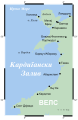
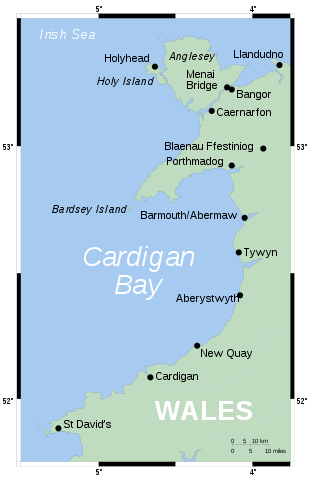
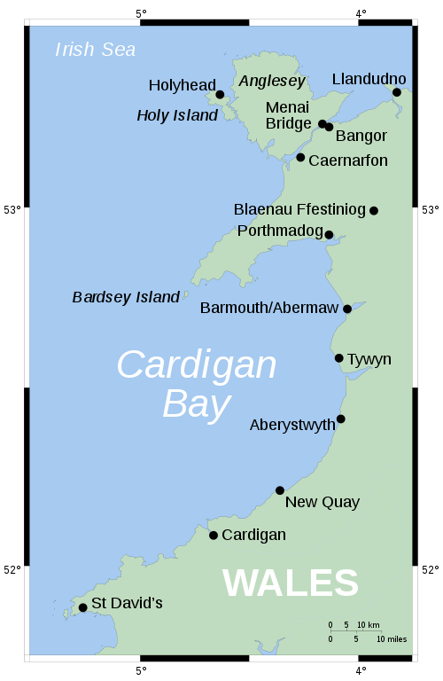
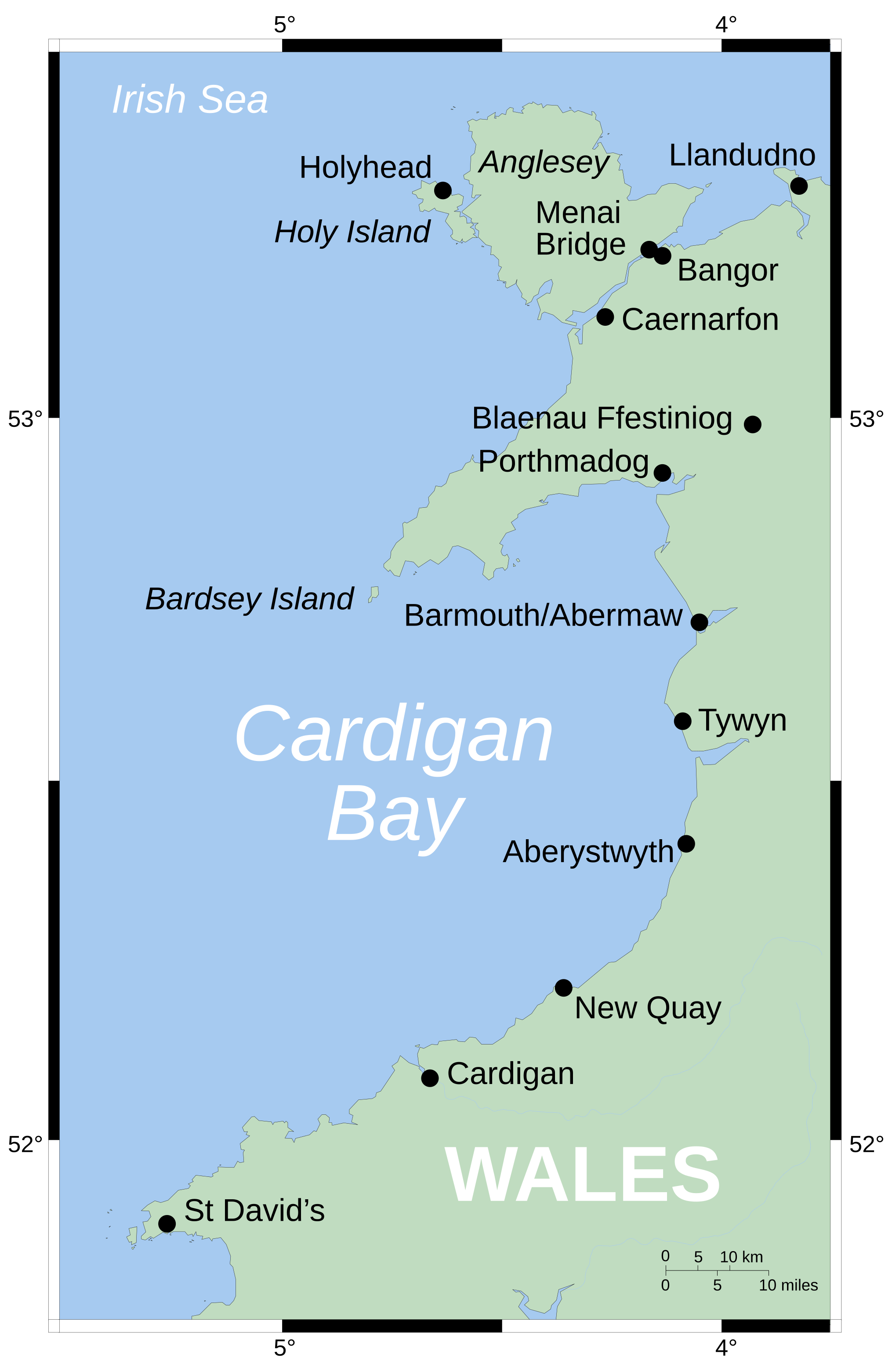
English: Map showing position of Cardigan Bay off Wales' west coast. Vector version of Image:CardiganBay.png on the English Wikipedia.
Mercator projection. Shore-line derived from GSHHS, rivers from the CIA World DataBank, both public-domain data sources. |
| 來源 | 自己的作品 |
| 作者 | Wereon |
授權條款[編輯]
| 我,此作品的版權所有人,釋出此作品至公共領域。此授權條款在全世界均適用。 這可能在某些國家不合法,如果是的話: 我授予任何人有權利使用此作品於任何用途,除受法律約束外,不受任何限制。 |
derivative works[編輯]
Derivative works of this file:
-
 Cymraeg
 -
 македонски


檔案歷史
點選日期/時間以檢視該時間的檔案版本。
| 日期/時間 | 縮圖 | 尺寸 | 用戶 | 備註 | |
|---|---|---|---|---|---|
| 目前 | 2006年8月9日 (三) 16:43 | | 2,030 × 3,120(66 KB) | Wereon(對話 | 貢獻) | oops, left the image in |
| 2006年8月9日 (三) 16:41 |  | 2,030 × 3,120(66 KB) | Wereon(對話 | 貢獻) | MediaWiki's acting a bit funny... | |
| 2006年8月9日 (三) 16:33 |  | 203 × 312(62 KB) | Wereon(對話 | 貢獻) | Map showing position of Cardigan Bay off Wales' west coast. Vector version of Image:CardiganBay.png on the English Wikipedia. Mercator projection. Shore-line derived from GSHHS, rivers from VMAP0, both public-domain data sources. |
無法覆蓋此檔案。
檔案用途
全域檔案使用狀況
以下其他 wiki 使用了這個檔案:
- da.wikipedia.org 的使用狀況
- de.wikipedia.org 的使用狀況
- en.wikipedia.org 的使用狀況
- eu.wikipedia.org 的使用狀況
- fr.wikipedia.org 的使用狀況
- it.wikipedia.org 的使用狀況
- la.wikipedia.org 的使用狀況
- lt.wikipedia.org 的使用狀況
- nl.wikipedia.org 的使用狀況
- nn.wikipedia.org 的使用狀況
- pl.wikipedia.org 的使用狀況
- pt.wikipedia.org 的使用狀況
- ru.wikipedia.org 的使用狀況
- sv.wikipedia.org 的使用狀況
- tt.wikipedia.org 的使用狀況
- zh.wikipedia.org 的使用狀況