File:Cayman Islands location map.svg
跳至導覽
跳至搜尋

此 SVG 檔案的 PNG 預覽的大小:799 × 319 像素。 其他解析度:320 × 128 像素 | 640 × 256 像素 | 1,024 × 409 像素 | 1,280 × 511 像素 | 2,560 × 1,022 像素 | 924 × 369 像素。
原始檔案 (SVG 檔案,表面大小:924 × 369 像素,檔案大小:33 KB)
說明
說明
添加單行說明來描述出檔案所代表的內容
| 描述 |
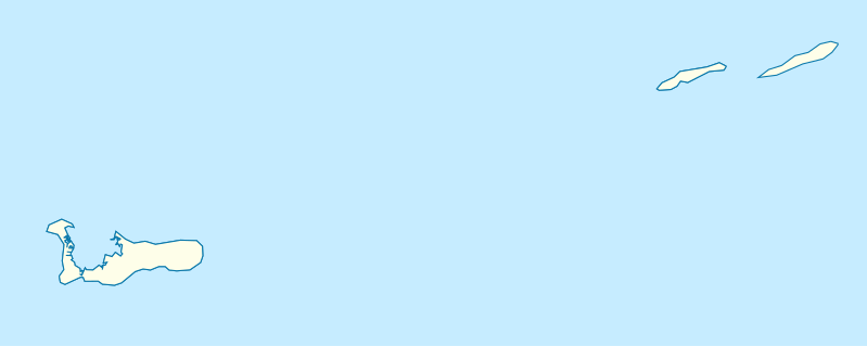
Deutsch: Positionskarte der Kaimaninseln. Geographische Begrenzungen der Karte:
English: Location map of the Cayman Islands. Geographic limits of the map:
|
| 日期 | |
| 來源 | 自己的作品, using OpenStreetMap Data for the coastlines |
| 作者 |
Graphic made by Carport |
授權條款
[編輯]
此檔案採用共享創意 姓名標示-相同方式分享 2.0 通用版授權條款。
- 您可以自由:
- 分享 – 複製、發佈和傳播本作品
- 重新修改 – 創作演繹作品
- 惟需遵照下列條件:
- 姓名標示 – 您必須指名出正確的製作者,和提供授權條款的連結,以及表示是否有對內容上做出變更。您可以用任何合理的方式來行動,但不得以任何方式表明授權條款是對您許可或是由您所使用。
- 相同方式分享 – 如果您利用本素材進行再混合、轉換或創作,您必須基於如同原先的相同或兼容的條款,來分布您的貢獻成品。
檔案歷史
點選日期/時間以檢視該時間的檔案版本。
| 日期/時間 | 縮圖 | 尺寸 | 用戶 | 備註 | |
|---|---|---|---|---|---|
| 目前 | 2009年11月23日 (一) 17:07 | 924 × 369(33 KB) | Carport(對話 | 貢獻) | {{Information |Description={{de|1=Positionskarte der {{w|Kaimaninseln|3=de}}. Geographische Begrenzungen der Karte: * N: 19.84° N * S: 19.14° N * W: 81.52° W * E: 79.66° W}} {{en|1=Location map of the {{w|Cayman Islands}}. Geographic limits of the ma |
無法覆蓋此檔案。
檔案用途
下列12個頁面有用到此檔案:
- File:United Kingdom (overseas+crown dependencies), administrative divisions - Nmbrs (marker).svg
- File:United Kingdom (overseas+crown dependencies), administrative divisions - Nmbrs (multiple zoom).svg
- File:United Kingdom (overseas+crown dependencies), administrative divisions - Nmbrs (single zoom).svg
- File:United Kingdom (overseas+crown dependencies), administrative divisions - de (marker).svg
- File:United Kingdom (overseas+crown dependencies), administrative divisions - de (multiple zoom).svg
- File:United Kingdom (overseas+crown dependencies), administrative divisions - de (single zoom).svg
- File:United Kingdom (overseas-crown dependencies), administrative divisions - Nmbrs (marker).svg
- File:United Kingdom (overseas-crown dependencies), administrative divisions - Nmbrs (multiple zoom).svg
- File:United Kingdom (overseas-crown dependencies), administrative divisions - Nmbrs (single zoom).svg
- File:United Kingdom (overseas-crown dependencies), administrative divisions - de (marker).svg
- File:United Kingdom (overseas-crown dependencies), administrative divisions - de (multiple zoom).svg
- File:United Kingdom (overseas-crown dependencies), administrative divisions - de (single zoom).svg
,_administrative_divisions_-_Nmbrs_(marker).svg)
,_administrative_divisions_-_Nmbrs_(multiple_zoom).svg)
,_administrative_divisions_-_Nmbrs_(single_zoom).svg)
,_administrative_divisions_-_de_(marker).svg)
,_administrative_divisions_-_de_(multiple_zoom).svg)
,_administrative_divisions_-_de_(single_zoom).svg)
全域檔案使用狀況
以下其他 wiki 使用了這個檔案:
- af.wikipedia.org 的使用狀況
- an.wikipedia.org 的使用狀況
- ar.wikipedia.org 的使用狀況
- ast.wikipedia.org 的使用狀況
- ba.wikipedia.org 的使用狀況
- be.wikipedia.org 的使用狀況
- bg.wikipedia.org 的使用狀況
- ceb.wikipedia.org 的使用狀況
- Plantilya:Location map United Kingdom Cayman Islands
- Welch Point
- South Channel
- Palmetto Point
- The Narrows
- Crawl Bay
- Sandy Point
- East Point
- West Bay
- Long Point
- Low Point
- South West Point
- George Town
- Charles Bay
- West End Point
- West End
- Water Cay
- Southwest Point
- Gun Bluff
- Cedar Point
- The Bight
- North Side
- East End
- Eden Rocks
- Prospect Point
- Stake Bay
- Little Sound
- Main Channel
- Rum Point
- Sand Cay
- East Channel
- North Reef
- Boatswain Point
- Beach Point
- Owen Island
檢視此檔案的更多全域使用狀況。