File:Census Bureau map of Trenton, New Jersey.png
跳转到导航
跳转到搜索
没有更高的分辨率。
Census_Bureau_map_of_Trenton,_New_Jersey.png (575 × 425像素,文件大小:69 KB,MIME类型:image/png)
说明
说明
添加一行文字以描述该文件所表现的内容
摘要
[编辑]
| 描述 |
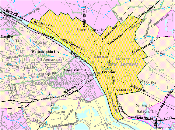
English: Census Bureau map of Trenton |
| 来源 | [1] |
| 作者 | United States Census Bureau |
许可协议
[编辑]
This image or file is a work of a United States Census Bureau employee, taken or made as part of that person's official duties. As a work of the U.S. federal government, the image is in the public domain.
|
 |
原始上传日志
[编辑]
Transferred from en.wikipedia to Commons by Quadell using CommonsHelper.
The original description page was here. All following user names refer to en.wikipedia.
- 2011-02-08 20:59 Alansohn 575×425× (69525 bytes) {{Information |Description = Census Bureau map of [[Trenton, New Jersey]] |Source = [http://factfinder.census.gov/servlet/MapItDrawServlet?geo_id=16000US3474000&_bucket_id=49&tree_id=339&context=saff&_lang=en&_sse=on] |Date = ~~~~~
原始上传日志
[编辑]
| 日期/时间 | 大小 | 用户 | 备注 |
|---|---|---|---|
| 2013年7月4日, 20:38:07 | 575 × 425 (69525 bytes) | File Upload Bot (Magnus Manske) (留言 · 贡献) | Transfered from en.wikipedia by [[User:Quadell]] using CommonsHelper |
文件历史
点击某个日期/时间查看对应时刻的文件。
| 日期/时间 | 缩略图 | 大小 | 用户 | 备注 | |
|---|---|---|---|---|---|
| 当前 | 2014年11月20日 (四) 21:05 | | 575 × 425(69 KB) | GifTagger(留言 | 贡献) | Bot: Converting file to superior PNG file. (Source: Census_Bureau_map_of_Trenton,_New_Jersey.gif). This GIF was problematic due to non-greyscale color table. |
您不可以覆盖此文件。
文件用途
以下页面使用本文件:
全域文件用途
以下其他wiki使用此文件:
- azb.wikipedia.org上的用途
- bn.wikipedia.org上的用途
- en.wikipedia.org上的用途
- fi.wikipedia.org上的用途
- ja.wikipedia.org上的用途
- ml.wikipedia.org上的用途
- new.wikipedia.org上的用途
- simple.wikipedia.org上的用途
- th.wikipedia.org上的用途
- ur.wikipedia.org上的用途
- zh.wikipedia.org上的用途