File:Charente department location map.svg
跳至導覽
跳至搜尋

此 SVG 檔案的 PNG 預覽的大小:634 × 600 像素。 其他解析度:254 × 240 像素 | 507 × 480 像素 | 812 × 768 像素 | 1,082 × 1,024 像素 | 2,165 × 2,048 像素 | 1,095 × 1,036 像素。
原始檔案 (SVG 檔案,表面大小:1,095 × 1,036 像素,檔案大小:184 KB)
說明
說明
添加單行說明來描述出檔案所代表的內容
摘要
[編輯]| 拍攝地點 | | 位於此地的本圖片與其他圖片: OpenStreetMap |
|---|
| 描述 |
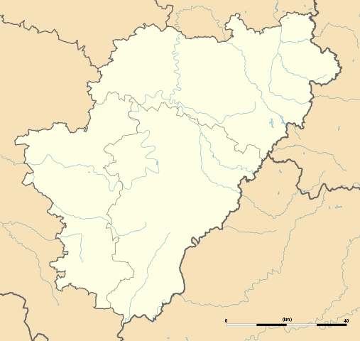
English: Blank administrative map of the department of Charente, France, for geo-location purpose, with distinct boundaries for regions, departments and arrondissements.
Français : Carte administrative vierge du département de Charente, France, destinée à la géolocalisation, avec limite distincte des régions, départements et arrondissements. Approximate scale: 1:440,000 (precision: 110 m)
Geographic limits of the map:
|
||
| 日期 | |||
| 來源 |
自己的作品
|
||
| 作者 | Eric Gaba (Sting - fr:Sting) | ||
| 授權許可 (重用此檔案) |
|
||
| 其他版本 |
|

授權條款
[編輯]
我,本作品的著作權持有者,決定用以下授權條款發佈本作品:
此檔案採用共享創意 姓名標示-相同方式分享 3.0 未在地化版本授權條款。
- 您可以自由:
- 分享 – 複製、發佈和傳播本作品
- 重新修改 – 創作演繹作品
- 惟需遵照下列條件:
- 姓名標示 – 您必須指名出正確的製作者,和提供授權條款的連結,以及表示是否有對內容上做出變更。您可以用任何合理的方式來行動,但不得以任何方式表明授權條款是對您許可或是由您所使用。
- 相同方式分享 – 如果您利用本素材進行再混合、轉換或創作,您必須基於如同原先的相同或兼容的條款,來分布您的貢獻成品。

|
已授權您依據自由軟體基金會發行的無固定段落、封面文字和封底文字GNU自由文件授權條款1.2版或任意後續版本,對本檔進行複製、傳播和/或修改。該協議的副本列在GNU自由文件授權條款中。 |
您可以選擇您需要的授權條款。
檔案歷史
點選日期/時間以檢視該時間的檔案版本。
| 日期/時間 | 縮圖 | 尺寸 | 用戶 | 備註 | |
|---|---|---|---|---|---|
| 目前 | 2008年10月15日 (三) 16:03 | | 1,095 × 1,036(184 KB) | Sting(對話 | 貢獻) | == Summary == {{Location|45|39|45|N|00|15|00|E|scale:1000000}} <br/> {{Information |Description={{en|Blank administrative map of the department of Charente, France, for geo-location purpose, with distinct boundaries for regions, departmen |
無法覆蓋此檔案。
檔案用途
下列3個頁面有用到此檔案:
全域檔案使用狀況
以下其他 wiki 使用了這個檔案:
- als.wikipedia.org 的使用狀況
- ar.wikipedia.org 的使用狀況
- ceb.wikipedia.org 的使用狀況
- cy.wikipedia.org 的使用狀況
- de.wikipedia.org 的使用狀況
- Wikipedia:Kartenwerkstatt/Positionskarten/Europa
- Vorlage:Positionskarte Frankreich Charente
- Stade Camille-Lebon
- Roc-de-Sers
- Militärflugplatz Cognac-Châteaubernard
- Grotte du Placard
- Grotte de Montgaudier
- Grotte de Fontéchevade
- Grotte du Visage
- Abri du Bois-du-Roc
- Grottes du Quéroy
- Grotte d’Artenac
- Grotte des Perrats
- el.wikipedia.org 的使用狀況
- en.wikipedia.org 的使用狀況
- eo.wikipedia.org 的使用狀況
- La Rochefoucauld (Charente)
- Jarnac
- Ŝablono:Situo sur mapo Francio Charente
- Angoulême (stacidomo)
- Cognac (stacidomo)
- Ruffec (stacidomo)
- Chabanais (stacidomo)
- La Rochefoucauld (stacidomo)
- La Rochefoucauld-en-Angoumois
- Jarnac (stacidomo)
- Mainxe-Gondeville
- Gondeville
- Châteauneuf-sur-Charente (stacidomo)
- Châteauneuf-sur-Charente
- Chalais (stacidomo)
- Chalais (Charente)
- Montmoreau (stacidomo)
- Saint-Amant-de-Montmoreau
- Montmoreau
- Luxé (stacidomo)
- Ruelle (stacidomo)
- Ruelle-sur-Touvre
- Chasseneuil-sur-Bonnieure (stacidomo)
- Roumazières-Loubert (stacidomo)
- Roumazières-Loubert
- Exideuil-sur-Vienne (stacidomo)
- Saillat - Chassenon (stacidomo)
- Gond-Pontouvre
- Saint-Michel-sur-Charente (stacidomo)
檢視此檔案的更多全域使用狀況。