File:Chatterton, Indiana.png
跳至導覽
跳至搜尋
預覽大小:800 × 400 像素。 其他解析度:320 × 160 像素 | 640 × 320 像素 | 1,024 × 512 像素 | 1,600 × 800 像素。
原始檔案 (1,600 × 800 像素,檔案大小:2.39 MB,MIME 類型:image/png)
說明
說明
添加單行說明來描述出檔案所代表的內容
Independence Pine Village Rd
摘要
[編輯]
| 拍攝地點 | | 位於此地的本圖片與其他圖片: OpenStreetMap |
|---|
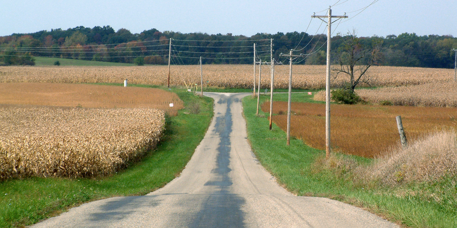
| 描述 | An autumn afternoon near the present-day site of the extinct town of Chatterton, Indiana. The view is to the northwest, looking toward the intersection of Independence Road and County Road 600 North in Warren County. (The intersection is near the east side of the Chatterton site.) |
| 日期 | |
| 來源 | 自行拍攝 |
| 作者 | Huw Williams (Huwmanbeing) |
| 授權許可 (重用此檔案) |
I release this photo into public domain |
授權條款
[編輯]
| 我,此作品的版權所有人,釋出此作品至公共領域。此授權條款在全世界均適用。 這可能在某些國家不合法,如果是的話: 我授予任何人有權利使用此作品於任何用途,除受法律約束外,不受任何限制。 |
檔案歷史
點選日期/時間以檢視該時間的檔案版本。
| 日期/時間 | 縮圖 | 尺寸 | 使用者 | 備註 | |
|---|---|---|---|---|---|
| 目前 | 2006年10月4日 (三) 22:45 | | 1,600 × 800(2.39 MB) | Huwmanbeing(留言 | 貢獻) | {{Information |Description = The present-day site of the extinct town Chatterton, Indiana, at the intersection of Independence Road and County Road 600 North in Warren County. The view is northwest. |Source = Own photo |Date = 2006-10-04 |Author = Huw Wi |
無法覆蓋此檔案。
檔案用途
沒有使用此檔案的頁面。
全域檔案使用狀況
以下其他 wiki 使用了這個檔案:
- en.wikipedia.org 的使用狀況
- www.wikidata.org 的使用狀況
- zh.wikipedia.org 的使用狀況