File:Coney Island beach aerial view.jpg
Spring til navigation
Spring til søgning

Størrelse af denne forhåndsvisning: 600 × 600 pixels. Andre opløsninger: 240 × 240 pixels | 480 × 480 pixels | 769 × 768 pixels | 1.025 × 1.024 pixels | 1.500 × 1.499 pixels.
Oprindelig fil (1.500 × 1.499 billedpunkter, filstørrelse: 862 KB, MIME-type: image/jpeg)
Captions
Captions
Tilføj en kort forklaring på en enkelt linje om hvad filen viser
| Beskrivelse |
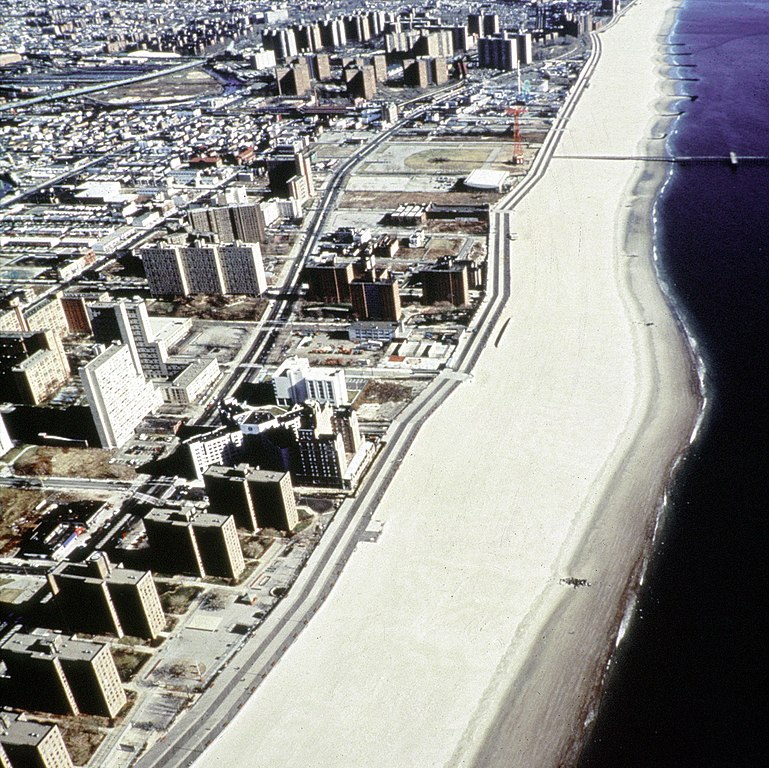
English: Aerial view of the oceanfront of Coney Island, Brooklyn, New York, USA. The photograph appears to be taken from the vicinity of West 32nd Street, looking east. The view extends a short distance beyond Asser Levy Park. |
|||
| Dato | (Caution: Dates given on the Corps of Engineers website are often incorrect.) | |||
| Kilde |
U.S. Army Corps of Engineers Digital Visual Library Image page Image description page Digital Visual Library home page |
|||
| Forfatter | Peter Shugert, U.S. Army Corps of Engineers | |||
| Tilladelse (Genbrug af denne fil) |
|
|||
| Placering | Brooklyn, New York, USA |
| Objektposition | | Dette og andre billeder på deres position på: OpenStreetMap |
|---|
Filhistorik
Klik på en dato/tid for at se filen som den så ud på det tidspunkt.
| Dato/tid | Miniaturebillede | Dimensioner | Bruger | Kommentar | |
|---|---|---|---|---|---|
| nuværende | 8. apr. 2007, 23:00 | | 1.500 × 1.499 (862 KB) | DanMS (diskussion | bidrag) | {{Information | Description = {{en|Aerial view of the oceanfront of Coney Island, Brooklyn, New York, USA. The photograph appears to be taken from the vicinity of West 32nd Street, looking east. The view extends a short distance beyond Asser Levy Park. |
Du kan ikke overskrive denne fil.
Filanvendelse
Der er ingen sider der bruger denne fil.
Global filanvendelse
Følgende andre wikier anvender denne fil:
- Anvendelser på af.wikipedia.org
- Anvendelser på ar.wikipedia.org
- Anvendelser på da.wikipedia.org
- Anvendelser på et.wikipedia.org
- Anvendelser på he.wikipedia.org
- Anvendelser på ja.wikipedia.org
- Anvendelser på nl.wikipedia.org
- Anvendelser på sv.wikipedia.org
- Anvendelser på zh.wikipedia.org