File:Czechoslovak Republic (1938).svg
ნავიგაციაზე გადასვლა
ძიებაზე გადასვლა

ამ SVG ფაილის PNG წინასწარი გადახედვის ზომაა: 450 × 456 პიქსელი. სხვა გაფართოება: 237 × 240 პიქსელი | 474 × 480 პიქსელი | 758 × 768 პიქსელი | 1 011 × 1 024 პიქსელი | 2 021 × 2 048 პიქსელი.
თავდაპირველი ფაილი (ფაილი SVG, ნომინალურად 450 × 456 პიქსელი, ფაილის ზომა: 474 კბ)
Captions
Captions
Add a one-line explanation of what this file represents


.svg)
.svg)
.svg)
.svg)
.svg)


.svg)
.svg)
.svg)


.png)
.png)


.svg)


.svg)

.svg)


.svg)
.svg)
.svg)
.svg)


.svg)
.png)


.svg)


.svg)
.svg)


.svg)


.svg)


.svg)
.svg)
.svg)
.svg)
.svg)
.svg)
.svg)
_cropped.svg)
.svg)
.svg)
.svg)
.svg)
.svg)
.svg)
.svg)
.svg)
.svg)
.svg)
.svg)
.svg)
.svg)
.svg)
.svg)
.svg)
.svg)
.svg)
.svg)
.svg)
.svg)
.svg)
.svg)
.svg)
.svg)
.svg)
.svg)
.svg)
.svg)
.svg)
.svg)
.svg)
.svg)
.svg)
.svg)
.svg)
.svg)
.svg)
.svg)
.svg)
.svg)
.svg)
.svg)
.svg)
ფაილის ისტორია
დააწკაპუნეთ თარიღზე/დროზე, რათა იხილოთ ფაილი, როგორც ის მაშინ გამოიყურებოდა.
| თარიღი/დრო | მინიატიურა | განზომილებები | მომხმარებელი | კომენტარი | |
|---|---|---|---|---|---|
| მიმდინარე | 07:59, 12 აგვისტო 2013 | | 450 × 456 (474 კბ) | Alphathon (განხილვა | წვლილი) | Fixed Yugoslav-Hungarian border (see main file) |
| 16:14, 25 ივლისი 2013 |  | 450 × 456 (461 კბ) | Alphathon (განხილვა | წვლილი) | Removed the Flevoland polders (Netherlands) which were not completed until 1942/1968 | |
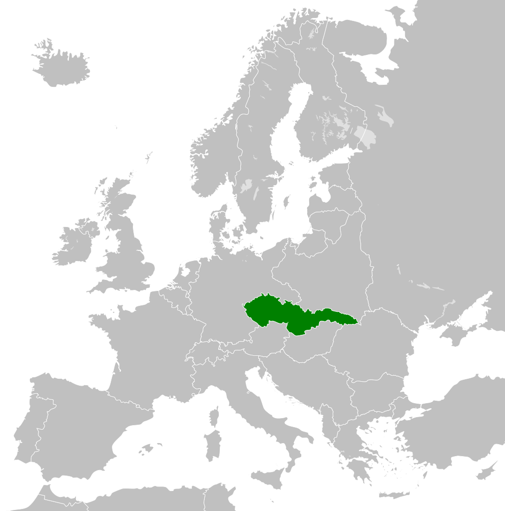
| 21:28, 17 დეკემბერი 2012 |  | 450 × 456 (461 კბ) | TRAJAN 117 (განხილვა | წვლილი) | {{Information |Description ={{en|1=The Czechoslovak Republic in 1938.}} |Source ={{own}} {{AttribSVG|Blank map of Europe 1929-1938.svg|Alphathon}} |Author =TRAJAN 117 {{created with Inkscape}} |Date =201... |
თქვენ არ შეგიძლიათ ამ ფაილზე გადაწერა.
ფაილის გამოყენება
ეს ფაილი არცერთ გვერდზე არ გამოიყენება.
ფაილის გლობალური გამოყენება
ეს ფაილი გამოიყენება შემდეგ ვიკებში:
- გამოყენება als.wikipedia.org-ში
- გამოყენება azb.wikipedia.org-ში
- გამოყენება bg.wikipedia.org-ში
- გამოყენება cs.wikipedia.org-ში
- გამოყენება da.wikipedia.org-ში
- გამოყენება de.wikipedia.org-ში
- გამოყენება en.wikipedia.org-ში
- გამოყენება es.wikipedia.org-ში
- გამოყენება fa.wikipedia.org-ში
- გამოყენება fi.wikipedia.org-ში
- გამოყენება fr.wikipedia.org-ში
- გამოყენება gv.wikipedia.org-ში
- გამოყენება he.wikipedia.org-ში
- გამოყენება id.wikipedia.org-ში
- გამოყენება it.wikipedia.org-ში
- გამოყენება ka.wikipedia.org-ში
- გამოყენება ko.wikipedia.org-ში
- გამოყენება mk.wikipedia.org-ში
- გამოყენება ms.wikipedia.org-ში
- გამოყენება pl.wikipedia.org-ში
- გამოყენება pt.wikipedia.org-ში
- გამოყენება ru.wikipedia.org-ში
- გამოყენება sc.wikipedia.org-ში
- გამოყენება sh.wikipedia.org-ში
- გამოყენება simple.wikipedia.org-ში
- გამოყენება sk.wikipedia.org-ში
- გამოყენება th.wikipedia.org-ში
- გამოყენება tr.wikipedia.org-ში
- გამოყენება uk.wikipedia.org-ში
- გამოყენება vi.wikipedia.org-ში
- გამოყენება zh.wikipedia.org-ში
.svg&oldid=872534545)