File:Czechoslovak Republic (1938).svg
跳至導覽
跳至搜尋

此 SVG 檔案的 PNG 預覽的大小:450 × 456 像素。 其他解析度:237 × 240 像素 | 474 × 480 像素 | 758 × 768 像素 | 1,011 × 1,024 像素 | 2,021 × 2,048 像素。
原始檔案 (SVG 檔案,表面大小:450 × 456 像素,檔案大小:474 KB)
說明
說明
添加單行說明來描述出檔案所代表的內容


.svg)
.svg)
.svg)
.svg)
.svg)


.svg)
.svg)
.svg)


.png)
.png)


.svg)


.svg)

.svg)


.svg)
.svg)
.svg)
.svg)


.svg)
.png)


.svg)


.svg)
.svg)


.svg)


.svg)


.svg)
.svg)
.svg)
.svg)
.svg)
.svg)
.svg)
_cropped.svg)
.svg)
.svg)
.svg)
.svg)
.svg)
.svg)
.svg)
.svg)
.svg)
.svg)
.svg)
.svg)
.svg)
.svg)
.svg)
.svg)
.svg)
.svg)
.svg)
.svg)
.svg)
.svg)
.svg)
.svg)
.svg)
.svg)
.svg)
.svg)
.svg)
.svg)
.svg)
.svg)
.svg)
.svg)
.svg)
.svg)
.svg)
.svg)
.svg)
.svg)
.svg)
.svg)
.svg)
.svg)
檔案歷史
點選日期/時間以檢視該時間的檔案版本。
| 日期/時間 | 縮圖 | 尺寸 | 用戶 | 備註 | |
|---|---|---|---|---|---|
| 目前 | 2013年8月12日 (一) 07:59 | | 450 × 456(474 KB) | Alphathon(對話 | 貢獻) | Fixed Yugoslav-Hungarian border (see main file) |
| 2013年7月25日 (四) 16:14 |  | 450 × 456(461 KB) | Alphathon(對話 | 貢獻) | Removed the Flevoland polders (Netherlands) which were not completed until 1942/1968 | |
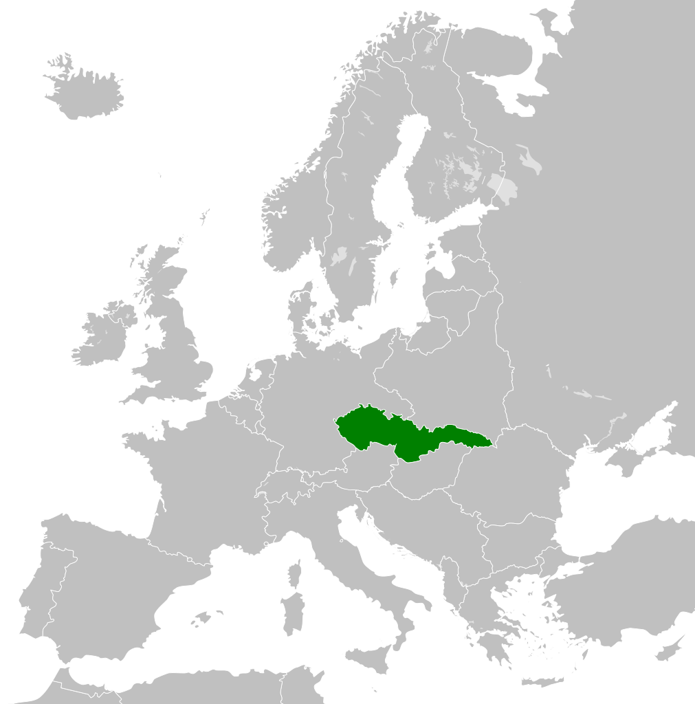
| 2012年12月17日 (一) 21:28 |  | 450 × 456(461 KB) | TRAJAN 117(對話 | 貢獻) | {{Information |Description ={{en|1=The Czechoslovak Republic in 1938.}} |Source ={{own}} {{AttribSVG|Blank map of Europe 1929-1938.svg|Alphathon}} |Author =TRAJAN 117 {{created with Inkscape}} |Date =201... |
無法覆蓋此檔案。
檔案用途
沒有使用此檔案的頁面。
全域檔案使用狀況
以下其他 wiki 使用了這個檔案:
- als.wikipedia.org 的使用狀況
- azb.wikipedia.org 的使用狀況
- bg.wikipedia.org 的使用狀況
- cs.wikipedia.org 的使用狀況
- da.wikipedia.org 的使用狀況
- de.wikipedia.org 的使用狀況
- en.wikipedia.org 的使用狀況
- es.wikipedia.org 的使用狀況
- fa.wikipedia.org 的使用狀況
- fi.wikipedia.org 的使用狀況
- fr.wikipedia.org 的使用狀況
- gv.wikipedia.org 的使用狀況
- he.wikipedia.org 的使用狀況
- id.wikipedia.org 的使用狀況
- it.wikipedia.org 的使用狀況
- ka.wikipedia.org 的使用狀況
- ko.wikipedia.org 的使用狀況
- mk.wikipedia.org 的使用狀況
- ms.wikipedia.org 的使用狀況
- pl.wikipedia.org 的使用狀況
- pt.wikipedia.org 的使用狀況
- ru.wikipedia.org 的使用狀況
- sc.wikipedia.org 的使用狀況
- sh.wikipedia.org 的使用狀況
- simple.wikipedia.org 的使用狀況
- sk.wikipedia.org 的使用狀況
- th.wikipedia.org 的使用狀況
- tr.wikipedia.org 的使用狀況
- uk.wikipedia.org 的使用狀況
- vi.wikipedia.org 的使用狀況
- zh.wikipedia.org 的使用狀況
.svg&oldid=872534545)