File:DEU Barnim Flag.svg
跳至導覽
跳至搜尋

此 SVG 檔案的 PNG 預覽的大小:600 × 423 像素。 其他解析度:320 × 226 像素 | 640 × 451 像素 | 1,024 × 722 像素 | 1,280 × 902 像素 | 2,560 × 1,805 像素。
原始檔案 (SVG 檔案,表面大小:600 × 423 像素,檔案大小:121 KB)
說明
說明
添加單行說明來描述出檔案所代表的內容
摘要
[編輯]| 描述 |
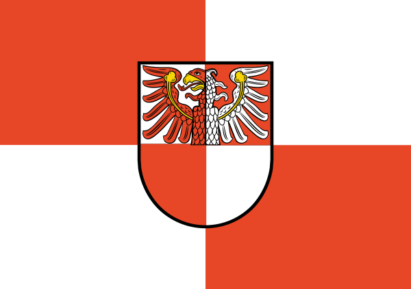
Deutsch: Flagge des Landkreises Barnim, Deutschland
nach § 2 der Hauptsatzung des Landkreises Barnim
|
|||
| 來源 | unter Benutzung von Landkreiswappen des Landkreises Barnim.png gemäß Anlage 3 der Hauptsatzung des Landkreises Barnim in der seit dem 12.06.2004 geltenden Fassung | |||
| 作者 | Landkreis Barnim | |||
| 授權許可 (重用此檔案) |
|
|||
| 其他版本 |
|


檔案歷史
點選日期/時間以檢視該時間的檔案版本。
| 日期/時間 | 縮圖 | 尺寸 | 使用者 | 備註 | |
|---|---|---|---|---|---|
| 目前 | 2017年1月20日 (五) 08:18 | | 600 × 423(121 KB) | Gunnar.offel(留言 | 貢獻) | Flag and Banner mistaken |
| 2017年1月20日 (五) 08:04 |  | 600 × 1,200(121 KB) | Gunnar.offel(留言 | 貢獻) | == {{int:filedesc}} == {{Information |Description={{de|Flagge des Landkreises Barnim, Deutschland<br/> nach § 2 der Hauptsatzung des Landkreises Barnim :''„(1) Der Landkreis Barnim führt folgendes Wappen:<br /> G... |
無法覆蓋此檔案。
檔案用途
下列10個頁面有用到此檔案:
- Flags of districts of Germany
- File:Banner des Landkreises Barnim.png
- File:DEU Barnim Banner.svg
- File:DEU Barnim Flag.svg
- File:Flagge des Landkreises Barnim.png
- File:Wappen Landkreis Barnim.png
- File:Wappen Landkreis Barnim.svg
- Category:Landkreis Barnim
- Category:Landkreis Barnim by century
- Category:Maps of Landkreis Barnim
全域檔案使用狀況
以下其他 wiki 使用了這個檔案:
- ca.wikipedia.org 的使用狀況
- cs.wikipedia.org 的使用狀況
- de.wikipedia.org 的使用狀況
- en.wikipedia.org 的使用狀況
- es.wikipedia.org 的使用狀況
- hy.wikipedia.org 的使用狀況
- it.wikipedia.org 的使用狀況
- ja.wikipedia.org 的使用狀況
- ku.wikipedia.org 的使用狀況
- la.wikipedia.org 的使用狀況
- lld.wikipedia.org 的使用狀況
- mk.wikipedia.org 的使用狀況
- nl.wikipedia.org 的使用狀況
- pl.wikipedia.org 的使用狀況
- ro.wikipedia.org 的使用狀況
- Districtul Barnim
- Eberswalde
- Joachimsthal (Barnim)
- Buchenwälder am Liepnitzsee
- Finowtal - Pregnitzfließ
- Fledermausquartier Kellerberg Grüntal
- Nonnenfließ-Schwärzetal
- Rabenluch
- Schnelle Havel
- Fredersdorfer Mühlenfließ, Breites und Krummes Luch
- Börnicke
- Breitefenn
- Biesenthaler Becken
- Kienhorst/Köllnseen/Eichheide
- Plagefenn
- Schönower Heide
- Obere Havelniederung
- Schorfheide-Chorin
- ru.wikipedia.org 的使用狀況
- simple.wikipedia.org 的使用狀況
- www.wikidata.org 的使用狀況
- zh.wikipedia.org 的使用狀況