File:Dem congo sat.jpg
Ir a la navegación
Ir a la búsqueda

Tamaño de esta previsualización: 608 × 600 píxeles. Otras resoluciones: 243 × 240 píxeles | 487 × 480 píxeles | 779 × 768 píxeles | 1038 × 1024 píxeles | 2293 × 2261 píxeles.
Archivo original (2293 × 2261 píxeles; tamaño de archivo: 3,13 MB; tipo MIME: image/jpeg)
Leyendas
Leyendas
Añade una explicación corta acerca de lo que representa este archivo
Resumen
[editar]
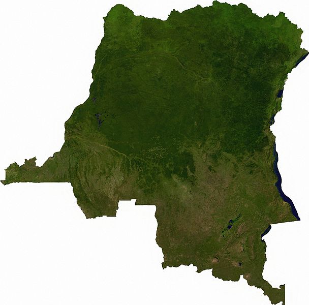
Raster data download July 12, 2006 from The Map Library: exported to TIFF format, and converted to JPEG via Paint.NET.
Licencia
[editar]
| This file is in the public domain, because it was generated by a user, using free sources available at The Map Library.
Note that this does not include the maps in the Global Administrative Areas section of the homepage. |
Historial del archivo
Haz clic sobre una fecha y hora para ver el archivo tal como apareció en ese momento.
| Fecha y hora | Miniatura | Dimensiones | Usuario | Comentario | |
|---|---|---|---|---|---|
| actual | 01:52 13 jul 2006 | | 2293 × 2261 (3,13 MB) | Unquietwiki (discusión | contribs.) | == Summary == Raster data download July 12, 2006 from The Map Library: exported to TIFF format, and converted to JPEG via Paint.NET. == Licensing == {{PD-MapProject}} |
No puedes sobrescribir este archivo.
Usos del archivo
Las siguientes páginas usan este archivo:
Uso global del archivo
Las wikis siguientes utilizan este archivo:
- Uso en af.wikipedia.org
- Uso en ar.wikipedia.org
- Uso en bg.wikipedia.org
- Uso en da.wikipedia.org
- Uso en en.wikipedia.org
- Uso en eo.wikipedia.org
- Uso en es.wikipedia.org
- Uso en fr.wikipedia.org
- Uso en hu.wikipedia.org
- Uso en hy.wikipedia.org
- Uso en ja.wikipedia.org
- Uso en ka.wikipedia.org
- Uso en mt.wikipedia.org
- Uso en pt.wikipedia.org
- Uso en sr.wikipedia.org
- Uso en trv.wikipedia.org
- Uso en tum.wikipedia.org
- Uso en uk.wikipedia.org
- Uso en zh.wikipedia.org