File:Dem congo sat.jpg
跳至導覽
跳至搜尋

預覽大小:608 × 600 像素。 其他解析度:243 × 240 像素 | 487 × 480 像素 | 779 × 768 像素 | 1,038 × 1,024 像素 | 2,293 × 2,261 像素。
原始檔案 (2,293 × 2,261 像素,檔案大小:3.13 MB,MIME 類型:image/jpeg)
說明
說明
添加單行說明來描述出檔案所代表的內容
摘要
[編輯]
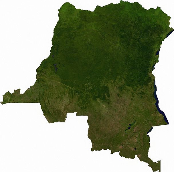
Raster data download July 12, 2006 from The Map Library: exported to TIFF format, and converted to JPEG via Paint.NET.
授權條款
[編輯]
| This file is in the public domain, because it was generated by a user, using free sources available at The Map Library.
Note that this does not include the maps in the Global Administrative Areas section of the homepage. |
檔案歷史
點選日期/時間以檢視該時間的檔案版本。
| 日期/時間 | 縮圖 | 尺寸 | 使用者 | 備註 | |
|---|---|---|---|---|---|
| 目前 | 2006年7月13日 (四) 01:52 | | 2,293 × 2,261(3.13 MB) | Unquietwiki(留言 | 貢獻) | == Summary == Raster data download July 12, 2006 from The Map Library: exported to TIFF format, and converted to JPEG via Paint.NET. == Licensing == {{PD-MapProject}} |
無法覆蓋此檔案。
檔案用途
下列4個頁面有用到此檔案:
全域檔案使用狀況
以下其他 wiki 使用了這個檔案:
- af.wikipedia.org 的使用狀況
- ar.wikipedia.org 的使用狀況
- bg.wikipedia.org 的使用狀況
- da.wikipedia.org 的使用狀況
- en.wikipedia.org 的使用狀況
- eo.wikipedia.org 的使用狀況
- es.wikipedia.org 的使用狀況
- fr.wikipedia.org 的使用狀況
- hu.wikipedia.org 的使用狀況
- hy.wikipedia.org 的使用狀況
- ja.wikipedia.org 的使用狀況
- ka.wikipedia.org 的使用狀況
- mt.wikipedia.org 的使用狀況
- pt.wikipedia.org 的使用狀況
- sr.wikipedia.org 的使用狀況
- trv.wikipedia.org 的使用狀況
- tum.wikipedia.org 的使用狀況
- uk.wikipedia.org 的使用狀況
- zh.wikipedia.org 的使用狀況