File:Democratic Republic of the Congo location map.svg
跳转到导航
跳转到搜索

此SVG文件的PNG预览的大小:630 × 600像素。 其他分辨率:252 × 240像素 | 504 × 480像素 | 807 × 768像素 | 1,075 × 1,024像素 | 2,151 × 2,048像素 | 1,150 × 1,095像素。
原始文件 (SVG文件,尺寸为1,150 × 1,095像素,文件大小:1.11 MB)
说明
说明
添加一行文字以描述该文件所表现的内容
摘要[编辑]
| 描述 |
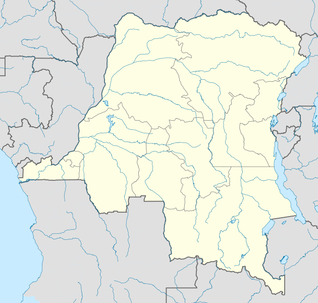
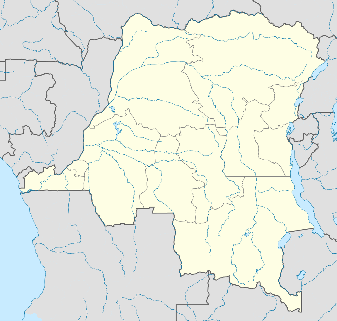
Deutsch: Location map of Democratic Republic of the Congo
Equirectangular projection. Strechted by 100.0%. Geographic limits of the map:
Made with Natural Earth. Free vector and raster map data @ naturalearthdata.com. A new map with the 26 provinces (since 2015) is available here. |
| 日期 | |
| 来源 | 自己的作品 |
| 作者 | Uwe Dedering |
许可协议[编辑]
本文件采用知识共享署名-相同方式共享 3.0 未本地化版本许可协议授权。
- 您可以自由地:
- 共享 – 复制、发行并传播本作品
- 修改 – 改编作品
- 惟须遵守下列条件:
- 署名 – 您必须对作品进行署名,提供授权条款的链接,并说明是否对原始内容进行了更改。您可以用任何合理的方式来署名,但不得以任何方式表明许可人认可您或您的使用。
- 相同方式共享 – 如果您再混合、转换或者基于本作品进行创作,您必须以与原先许可协议相同或相兼容的许可协议分发您贡献的作品。
本文件采用知识共享署名-相同方式共享 3.0 德国许可协议授权。
- 您可以自由地:
- 共享 – 复制、发行并传播本作品
- 修改 – 改编作品
- 惟须遵守下列条件:
- 署名 – 您必须对作品进行署名,提供授权条款的链接,并说明是否对原始内容进行了更改。您可以用任何合理的方式来署名,但不得以任何方式表明许可人认可您或您的使用。
- 相同方式共享 – 如果您再混合、转换或者基于本作品进行创作,您必须以与原先许可协议相同或相兼容的许可协议分发您贡献的作品。

德语维基百科的Uwe Dedering,本作品著作权人,特此采用以下许可协议发表本作品:

|
已授权您依据自由软件基金会发行的无固定段落及封面封底文字(Invariant Sections, Front-Cover Texts, and Back-Cover Texts)的GNU自由文件许可协议1.2版或任意后续版本的条款,复制、传播和/或修改本文件。该协议的副本请见“GNU Free Documentation License”。 |
本文件采用知识共享署名 3.0 未本地化版本许可协议授权。
署名: 德语维基百科的Uwe Dedering
- 您可以自由地:
- 共享 – 复制、发行并传播本作品
- 修改 – 改编作品
- 惟须遵守下列条件:
- 署名 – 您必须对作品进行署名,提供授权条款的链接,并说明是否对原始内容进行了更改。您可以用任何合理的方式来署名,但不得以任何方式表明许可人认可您或您的使用。
您可以选择您需要的许可协议。
原始上传日志[编辑]
Transferred from de.wikipedia to Commons by Uwe Dedering.
The original description page was here. All following user names refer to de.wikipedia.
- 2010-02-16 11:09 Uwe Dedering 1150×1095× (1164773 bytes) {{Information |Beschreibung = Location map of Democratic Republic of the Congo Equirectangular projection. Strechted by 100.0%. Geographic limits of the map: * N: 6.0° N * S: -14.0° N * W: 11.0° E * E: 32.0° E Made with Natural Earth. Free vector and raster map data @ naturalearthdata.com. |Quelle = own work |Urheber = [[Benutzer:Uwe Dedering|Uwe Dedering]] |Datum = 20100216 |Genehmigung = |Andere Versionen = |Anmerkungen = }}
文件历史
点击某个日期/时间查看对应时刻的文件。
| 日期/时间 | 缩略图 | 大小 | 用户 | 备注 | |
|---|---|---|---|---|---|
| 当前 | 2010年2月16日 (二) 21:54 | | 1,150 × 1,095(1.11 MB) | Uwe Dedering(留言 | 贡献) | {{Information |Description={{de|Location map of Democratic Republic of the Congo Equirectangular projection. Strechted by 100.0%. Geographic limits of the map: * N: 6.0° N * S: -14.0° N * W: 11.0° E * E: 32.0° E Made with Natural Earth. Free vector an |
您不可以覆盖此文件。
文件用途
以下11个页面使用本文件:
- File:Bandundu in Democratic Republic of the Congo.svg
- File:Bas-Congo in Democratic Republic of the Congo.svg
- File:Kasai-Occidental in Democratic Republic of the Congo.svg
- File:Kasai-Oriental in Democratic Republic of the Congo.svg
- File:Katanga in Democratic Republic of the Congo.svg
- File:Kinshasa in Democratic Republic of the Congo.svg
- File:Maniema in Democratic Republic of the Congo.svg
- File:Nord-Kivu in Democratic Republic of the Congo.svg
- File:Orientale in Democratic Republic of the Congo.svg
- File:Sud-Kivu in Democratic Republic of the Congo.svg
- File:Équateur in Democratic Republic of the Congo.svg
全域文件用途
以下其他wiki使用此文件:
- af.wikipedia.org上的用途
- als.wikipedia.org上的用途
- am.wikipedia.org上的用途
- ar.wikipedia.org上的用途
- az.wikipedia.org上的用途
- ba.wikipedia.org上的用途
- be-tarask.wikipedia.org上的用途
- be.wikipedia.org上的用途
- bg.wikipedia.org上的用途
- bn.wikipedia.org上的用途
- bs.wikipedia.org上的用途
- ceb.wikipedia.org上的用途
查看本文件的更多全域用途。