File:Dnipropetrovsk oblast detai.png
Dnipropetrovsk_oblast_detai.png (548 × 344 píxels, mida del fitxer: 44 Ko, tipus MIME: image/png)
Llegendes
Llegendes
Resum[modifica]
| Descripció | ||||
| Data | ||||
| Font |
Adapted from http://www.un.org/Depts/Cartographic/map/profile/ukraine.pdf Link to en.wikipedia: Dnipropetrovsk_oblast_detai.png |
|||
| Autor | Mortadelo2005 | |||
| Permís (Com reutilitzar aquest fitxer) |
|

Historial del fitxer
Cliqueu una data/hora per veure el fitxer tal com era aleshores.
| Data/hora | Miniatura | Dimensions | Usuari/a | Comentari | |
|---|---|---|---|---|---|
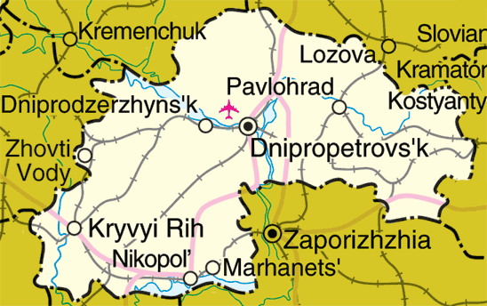
| actual | 13:05, 14 maig 2006 | | 548 × 344 (44 Ko) | Mortadelo2005 (discussió | contribucions) | Map of Dnipropetrovsk Oblast, Ukraine Adapted from http://www.un.org/Depts/Cartographic/map/profile/ukraine.pdf Link to en.wikipedia: http://en.wikipedia.org/wiki/Image:Dnipropetrovsk_oblast_detai.png {{UN_map}} {{PD}} [[Category:Maps of Ukra |
No podeu sobreescriure aquest fitxer.
Ús del fitxer
No hi ha pàgines que utilitzin aquest fitxer.
Ús global del fitxer
Utilització d'aquest fitxer en altres wikis:
- Utilització a ast.wikipedia.org
- Utilització a en.wikipedia.org
- Utilització a eo.wikipedia.org
- Utilització a eu.wikipedia.org
- Utilització a pt.wikipedia.org
- Utilització a sco.wikipedia.org
- Utilització a ta.wikipedia.org