File:Dongfeng spacecraft landing site.png
跳转到导航
跳转到搜索

本预览的尺寸:558 × 600像素。 其他分辨率:223 × 240像素 | 447 × 480像素 | 715 × 768像素 | 1,123 × 1,207像素。
原始文件 (1,123 × 1,207像素,文件大小:140 KB,MIME类型:image/png)
说明
说明
添加一行文字以描述该文件所表现的内容
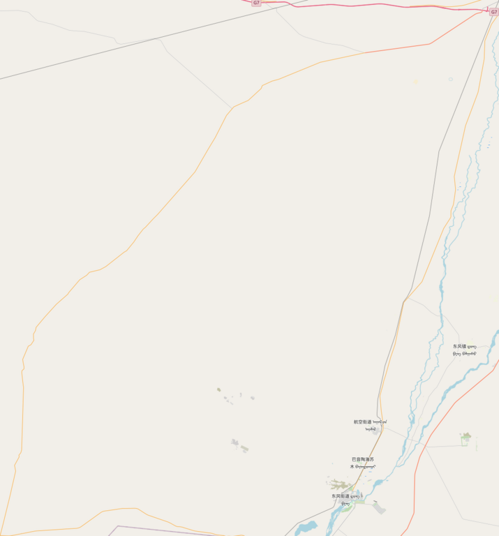
东风着陆场
摘要[编辑]
| 描述 |
English: Dongfeng spacecraft landing site
|
| 日期 | |
| 来源 | OpenStreetMap |
| 作者 | OpenStreetMap contributors |
许可协议[编辑]
| This work contains information from OpenStreetMap, which is made available under the Open Database License (ODbL).
The ODbL does not require any particular license for maps produced from ODbL data. Prior to 1 August 2020, map tiles produced by the OpenStreetMap Foundation were licensed under the CC-BY-SA-2.0 license. Maps produced by other people may be subject to other licences. |
文件历史
点击某个日期/时间查看对应时刻的文件。
| 日期/时间 | 缩略图 | 大小 | 用户 | 备注 | |
|---|---|---|---|---|---|
| 当前 | 2023年9月12日 (二) 01:43 | | 1,123 × 1,207(140 KB) | Fuyo21(留言 | 贡献) | Uploaded a work by OpenStreetMap contributors from OpenStreetMap with UploadWizard |
您不可以覆盖此文件。
文件用途
没有页面使用本文件。
全域文件用途
以下其他wiki使用此文件:
- zh.wikipedia.org上的用途