File:East Dunbartonshire council.PNG
跳转到导航
跳转到搜索

本预览的尺寸:480 × 599像素。 其他分辨率:192 × 240像素 | 384 × 480像素 | 615 × 768像素 | 820 × 1,024像素 | 1,641 × 2,048像素 | 2,733 × 3,411像素。
原始文件 (2,733 × 3,411像素,文件大小:207 KB,MIME类型:image/png)
说明
说明
添加一行文字以描述该文件所表现的内容
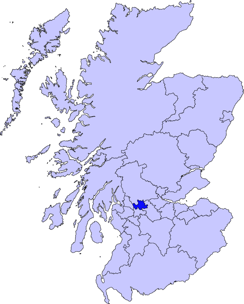
| 描述 | map of East Dunbartonshire | ||||||||
| 日期 | |||||||||
| 来源 |
Barryob,本作品著作权人,特此采用以下许可协议发表本作品:
|
||||||||
| 作者 | User:Barryob |

文件历史
点击某个日期/时间查看对应时刻的文件。
| 日期/时间 | 缩略图 | 大小 | 用户 | 备注 | |
|---|---|---|---|---|---|
| 当前 | 2007年4月10日 (二) 05:06 | | 2,733 × 3,411(207 KB) | Barryob(留言 | 贡献) | |
| 2007年4月8日 (日) 21:57 |  | 2,733 × 3,411(208 KB) | Barryob(留言 | 贡献) | ||
| 2007年4月4日 (三) 01:20 |  | 2,733 × 3,411(208 KB) | Barryob(留言 | 贡献) | {{Information |Description=map of East Dunbartonshire |Source={{GFDL-user|Barryob}} |Date=2006-04-04 |Author=User:Barryob |Permission= |other_versions= }} Category:Maps of unitary councils of Scotland |
您不可以覆盖此文件。
文件用途
以下7个页面使用本文件:
全域文件用途
以下其他wiki使用此文件:
- ar.wikipedia.org上的用途
- ca.wikipedia.org上的用途
- cy.wikipedia.org上的用途
- de.wikipedia.org上的用途
- en.wikipedia.org上的用途
- eu.wikipedia.org上的用途
- Lankide:Euskaldunaa
- Kirkintilloch
- Bearsden
- Bishopbriggs
- Txantiloi:Ekialdeko Dunbartonshire
- Wikiproiektu:Irlanda, Gales eta Eskoziako udalerriak
- Lennoxtown
- Lenzie
- Milngavie
- Auchenreoch
- Baldernock
- Balmore
- Clachan of Campsie
- Haughhead
- Huntershill Village
- Milton of Campsie
- Torrance (Eakialdeko Dunbartonshire)
- Twechar
- Woodilee Village
- Bardowie
- Barnellan
- Birdston
- Auchinairn
- Cadder
- Waterside (Ekialdeko Dunbartonshire)
- ga.wikipedia.org上的用途
- pt.wikipedia.org上的用途
- www.wikidata.org上的用途
- zh-min-nan.wikipedia.org上的用途
- zh.wikipedia.org上的用途