File:East torino NASA.png
跳转到导航
跳转到搜索

本预览的尺寸:800 × 527像素。 其他分辨率:320 × 211像素 | 640 × 421像素 | 992 × 653像素。
原始文件 (992 × 653像素,文件大小:1.18 MB,MIME类型:image/png)
说明
说明
添加一行文字以描述该文件所表现的内容
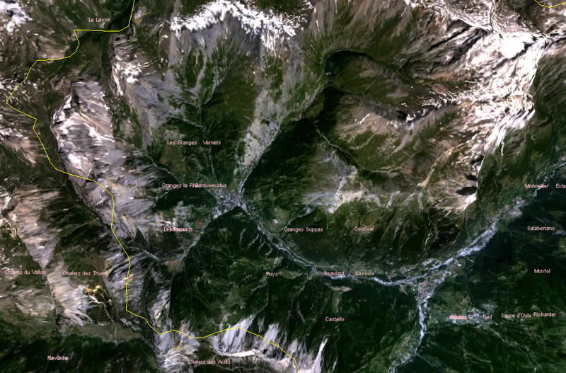
satellite image of eastern part of Italian province of Torino, where the 2006 winter olympics were held
| 本图像属于 w:公有领域 ,因其为 NASA 的 World Wind 卫星地图浏览器的一张截图,且使用了公有领域图层,如 Blue Marble、MODIS、Landsat、SRTM、USGS、GLOBE 等。
|
 |
文件历史
点击某个日期/时间查看对应时刻的文件。
| 日期/时间 | 缩略图 | 大小 | 用户 | 备注 | |
|---|---|---|---|---|---|
| 当前 | 2006年3月21日 (二) 03:13 | | 992 × 653(1.18 MB) | Roke~commonswiki(留言 | 贡献) | satellite image of eastern part of Italian province of Torino, where the 2006 winter olympics were held Category: Winter Olympics {{PD-WorldWind}} |
您不可以覆盖此文件。
文件用途
没有页面使用本文件。
全域文件用途
以下其他wiki使用此文件:
- en.wikipedia.org上的用途
- es.wikipedia.org上的用途
- id.wikipedia.org上的用途
- ka.wikipedia.org上的用途
- ms.wikipedia.org上的用途
- vi.wikipedia.org上的用途
- zh.wikipedia.org上的用途