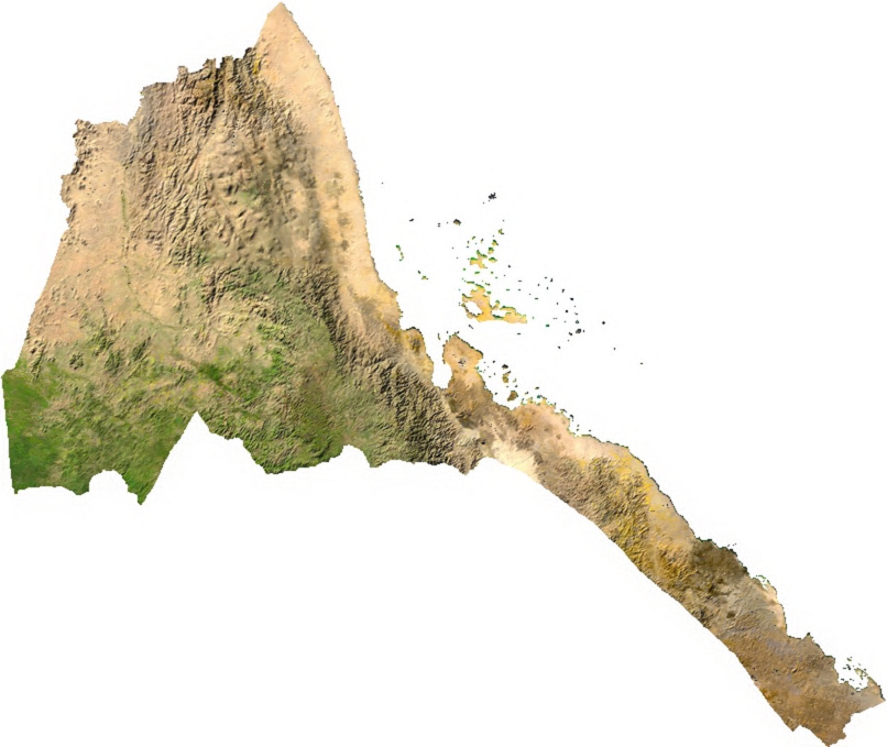
File:Eritrea sat.png
Salta a la navegació
Salta a la cerca
Mida d'aquesta previsualització: 712 × 600 píxels. Altres resolucions: 285 × 240 píxels | 570 × 480 píxels | 806 × 679 píxels.
Fitxer original (806 × 679 píxels, mida del fitxer: 412 Ko, tipus MIME: image/png)
Llegendes
Llegendes
Afegeix una explicació d'una línia del que representa aquest fitxer
ECW to TIFF to PNG (compression level 9).
| This file is in the public domain, because it was generated by a user, using free sources available at The Map Library.
Note that this does not include the maps in the Global Administrative Areas section of the homepage. |
Historial del fitxer
Cliqueu una data/hora per veure el fitxer tal com era aleshores.
| Data/hora | Miniatura | Dimensions | Usuari/a | Comentari | |
|---|---|---|---|---|---|
| actual | 01:09, 14 jul 2006 | | 806 × 679 (412 Ko) | Unquietwiki (discussió | contribucions) | ECW to TIFF to PNG (compression level 9). {{PD-MapLibrary}} |
No podeu sobreescriure aquest fitxer.
Ús del fitxer
Les 3 pàgines següents utilitzen aquest fitxer:
Ús global del fitxer
Utilització d'aquest fitxer en altres wikis:
- Utilització a ca.wikipedia.org
- Utilització a ckb.wikipedia.org
- Utilització a en.wikipedia.org
- Utilització a es.wikipedia.org
- Utilització a fa.wikipedia.org
- Utilització a fr.wikipedia.org
- Utilització a hr.wikipedia.org
- Utilització a id.wikipedia.org
- Utilització a it.wikipedia.org
- Utilització a ka.wikipedia.org
- Utilització a la.wikipedia.org
- Utilització a mdf.wikipedia.org
- Utilització a mt.wikipedia.org
- Utilització a mzn.wikipedia.org
- Utilització a nl.wikipedia.org
- Utilització a si.wikipedia.org
- Utilització a tl.wikipedia.org
- Utilització a uk.wikipedia.org
- Utilització a vec.wikipedia.org
- Utilització a www.wikidata.org