File:Ferry Sign.svg
Aller à la navigation
Aller à la recherche

Taille de cet aperçu PNG pour ce fichier SVG : 595 × 600 pixels. Autres résolutions : 238 × 240 pixels | 476 × 480 pixels | 762 × 768 pixels | 1 016 × 1 024 pixels | 2 031 × 2 048 pixels | 608 × 613 pixels.
Fichier d’origine (Fichier SVG, nominalement de 608 × 613 pixels, taille : 4 kio)
Légendes
Légendes
Ajoutez en une ligne la description de ce que représente ce fichier
Description[modifier]
| Description |
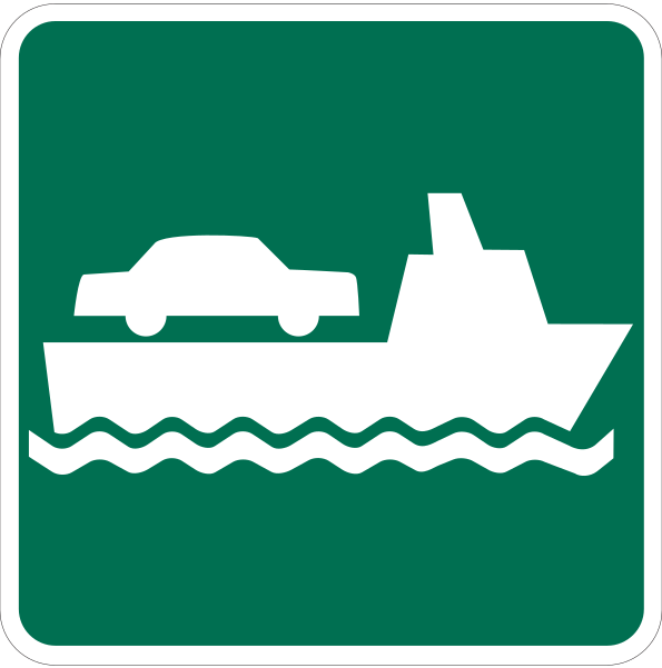
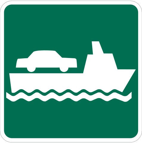
English: A depiction of an MUTCD-standard car ferry sign. This would normally be used with directional road signs to indicate that a route leads to af ferry dock. |
| Date | |
| Source | Manual on Uniform Traffic Control Devices |
| Auteur | Federal Highway Administration |
| SVG information | Ce pictogramme a été créé avec Adobe Illustrator |
Conditions d’utilisation[modifier]
This file is in the public domain because it comes from the Manual on Uniform Traffic Control Devices, sign number I-9, which states specifically on page I-1 that:
|
 |
Historique du fichier
Cliquer sur une date et heure pour voir le fichier tel qu'il était à ce moment-là.
| Date et heure | Vignette | Dimensions | Utilisateur | Commentaire | |
|---|---|---|---|---|---|
| actuel | 10 mai 2011 à 04:56 | | 608 × 613 (4 kio) | Imzadi1979 (d | contributions) |
Vous ne pouvez pas remplacer ce fichier.
Utilisations locales du fichier
Les 2 pages suivantes utilisent ce fichier :
Utilisations du fichier sur d’autres wikis
Les autres wikis suivants utilisent ce fichier :
- Utilisation sur ar.wikipedia.org
- Utilisation sur az.wikipedia.org
- Utilisation sur bn.wikipedia.org
- Utilisation sur da.wiktionary.org
- Utilisation sur de.wikipedia.org
- Utilisation sur en.wikipedia.org
- U.S. Route 9
- Interstate 87 (New York)
- Clay Township, Michigan
- Pearl Beach, St. Clair County, Michigan
- U.S. Route 10
- European route E55
- European route E67
- European route E30
- Richardson Highway
- Washington State Route 104
- U.S. Route 421
- Washington State Route 519
- Klondike Highway
- Washington State Route 525
- Haines Highway
- Sterling Highway
- Florida State Road A1A
- E 11 road (United Arab Emirates)
- California State Route 84
- Virginia State Route 31
- E 311 road (United Arab Emirates)
- Washington State Route 20
- New York State Route 25
- European route E20
- European route E18
- European route E75
- Delaware Route 1
- New York State Route 22
- Ohio State Route 357
- Illinois Route 1
- Illinois Route 108
- Ohio State Route 7
- Missouri Route 77
- Missouri Route 80
- Missouri Route 102
- West Virginia Route 2
- European route E22
Voir davantage sur l’utilisation globale de ce fichier.