File:Florida counties map.png
跳转到导航
跳转到搜索

本预览的尺寸:617 × 600像素。 其他分辨率:247 × 240像素 | 494 × 480像素 | 865 × 841像素。
原始文件 (865 × 841像素,文件大小:102 KB,MIME类型:image/png)
说明
说明
添加一行文字以描述该文件所表现的内容
摘要[编辑]
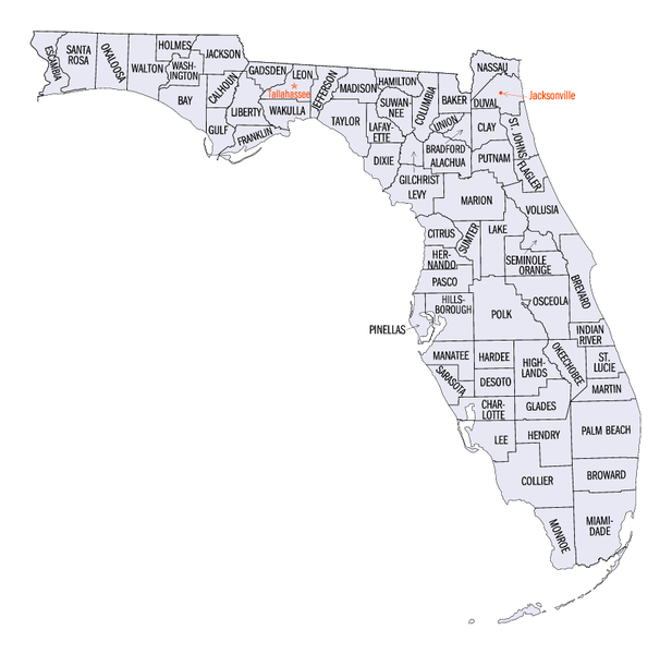
| 描述 | Map of Florida's counties. Transwiki approved by: w:en:User:Dmcdevit |
| 日期 | 24 June 2005 (upload) |
| 来源 | Florida QuickFacts. US Census Bureau. Archived from the original on 23 June 2005. |
| 作者 | United States Census Bureau |
许可协议[编辑]
This image or file is a work of a United States Census Bureau employee, taken or made as part of that person's official duties. As a work of the U.S. federal government, the image is in the public domain.
|
 |
原始上传日志[编辑]
| date/time | username | resolution | size | edit summary |
|---|---|---|---|---|
| 22:40, 24 June 2005 | w:en:User:Jengod | 865×841 | 102 KB | <a href="/wiki/Category:Florida_maps" title="Category:Florida maps">Category:Florida maps</a> {{PD-USGov-DOC-Census}} |
Image description page history[编辑]
| link | date/time | username | edit summary |
|---|---|---|---|
| http://en.wikipedia.org/w/index.php?title=Image:Florida_counties_map.png&redirect=no&oldid=17718338 | 08:04, 16 September 2007 | w:en:User:Dmcdevit | |
| http://en.wikipedia.org/w/index.php?title=Image:Florida_counties_map.png&redirect=no&oldid=17718338 | 22:40, 24 June 2005 | w:en:User:Jengod | (<a href="/wiki/Category:Florida_maps" title="Category:Florida maps">Category:Florida maps</a> {{PD-USGov-DOC-Census}}) |
文件历史
点击某个日期/时间查看对应时刻的文件。
| 日期/时间 | 缩略图 | 大小 | 用户 | 备注 | |
|---|---|---|---|---|---|
| 当前 | 2007年9月16日 (日) 13:33 | | 865 × 841(102 KB) | BetacommandBot(留言 | 贡献) | Transwiki approved by: w:en:User:Dmcdevit This image was copied from wikipedia:en. The original description was: w:en:Category:Florida maps {{PD-USGov-DOC-Census}} === File history === {| class=wikitable ! date/time || username || resolution | |
您不可以覆盖此文件。
文件用途
以下2个页面使用本文件:
全域文件用途
以下其他wiki使用此文件:
- cy.wikipedia.org上的用途
- de.wikipedia.org上的用途
- en.wikipedia.org上的用途
- frr.wikipedia.org上的用途
- fr.wikipedia.org上的用途
- hi.wikipedia.org上的用途
- id.wikipedia.org上的用途
- ja.wikipedia.org上的用途
- ko.wikipedia.org上的用途
- mk.wikipedia.org上的用途
- new.wikipedia.org上的用途
- nl.wikipedia.org上的用途
- pt.wikipedia.org上的用途
- ro.wikipedia.org上的用途
- ru.wikipedia.org上的用途
- sv.wikipedia.org上的用途
- zh.wikipedia.org上的用途