File:Guatemala location map.svg
跳至導覽
跳至搜尋

此 SVG 檔案的 PNG 預覽的大小:545 × 599 像素。 其他解析度:218 × 240 像素 | 436 × 480 像素 | 698 × 768 像素 | 931 × 1,024 像素 | 1,862 × 2,048 像素 | 982 × 1,080 像素。
原始檔案 (SVG 檔案,表面大小:982 × 1,080 像素,檔案大小:120 KB)
說明
說明
添加單行說明來描述出檔案所代表的內容
摘要[編輯]
| 描述 |
Deutsch: Positionskarte von Guatemala
Quadratische Plattkarte Русский: Карта расположения Гватемалы
English: Location map of Guatemala
Equirectangular projection, Geographic limits of the map:
Հայերեն: Գվատեմալայի տեղորոշման քարտեզ
Ուղղանկյուն պրոյեկցիա։ Քարտեզում աշխարհագրական սահմանները.
|
||
| 日期 | |||
| 來源 | |||
| 作者 | |||
| SVG開發 | 本向量圖形使用Adobe Illustrator創作, 以及使用 Inkscape.
|
授權條款[編輯]
此檔案採用創用CC 姓名標示-相同方式分享 3.0 未在地化版本授權條款。
- 您可以自由:
- 分享 – 複製、發佈和傳播本作品
- 重新修改 – 創作演繹作品
- 惟需遵照下列條件:
- 姓名標示 – 您必須指名出正確的製作者,和提供授權條款的連結,以及表示是否有對內容上做出變更。您可以用任何合理的方式來行動,但不得以任何方式表明授權條款是對您許可或是由您所使用。
- 相同方式分享 – 如果您利用本素材進行再混合、轉換或創作,您必須基於如同原先的相同或兼容的條款,來分布您的貢獻成品。
原始上傳日誌[編輯]
This image is a derivative work of the following images:
- File:Guatemala Departments.svg licensed with Cc-by-sa-3.0, Cc-by-sa-3.0/ru, GFDL
- 2009-10-24T20:10:21Z Daryona 982x1080 (139456 Bytes) {{Information |Description={{en|1=Guatemala map}} {{ru|1=Карта гватемалы с департаментами}} |Source={{own}} |Author=[[User:Daryona|Daryona]] |Date=2009-10-24 |Permission= |other_versions= }} [[Ca
- File:Mexico location map.svg licensed with Cc-by-3.0, GFDL
- 2009-03-11T18:34:05Z NordNordWest 2029x1326 (882028 Bytes) {{Information |Description= {{de|Positionskarte von [[:de:Mexiko|Mexiko]]}} Quadratische Plattkarte, N-S-Streckung 110 %. Geographische Begrenzung der Karte: * N: 33.3° N * S: 14.2° N * W: 118.5° W * O: 86.3° W {{en|Locat
Uploaded with derivativeFX
檔案歷史
點選日期/時間以檢視該時間的檔案版本。
| 日期/時間 | 縮圖 | 尺寸 | 使用者 | 備註 | |
|---|---|---|---|---|---|
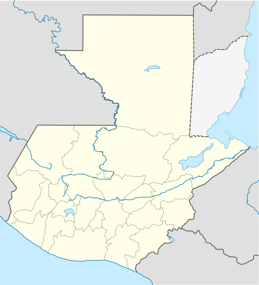
| 目前 | 2022年10月18日 (二) 19:11 | | 982 × 1,080(120 KB) | Janitoalevic(留言 | 貢獻) | Fixing |
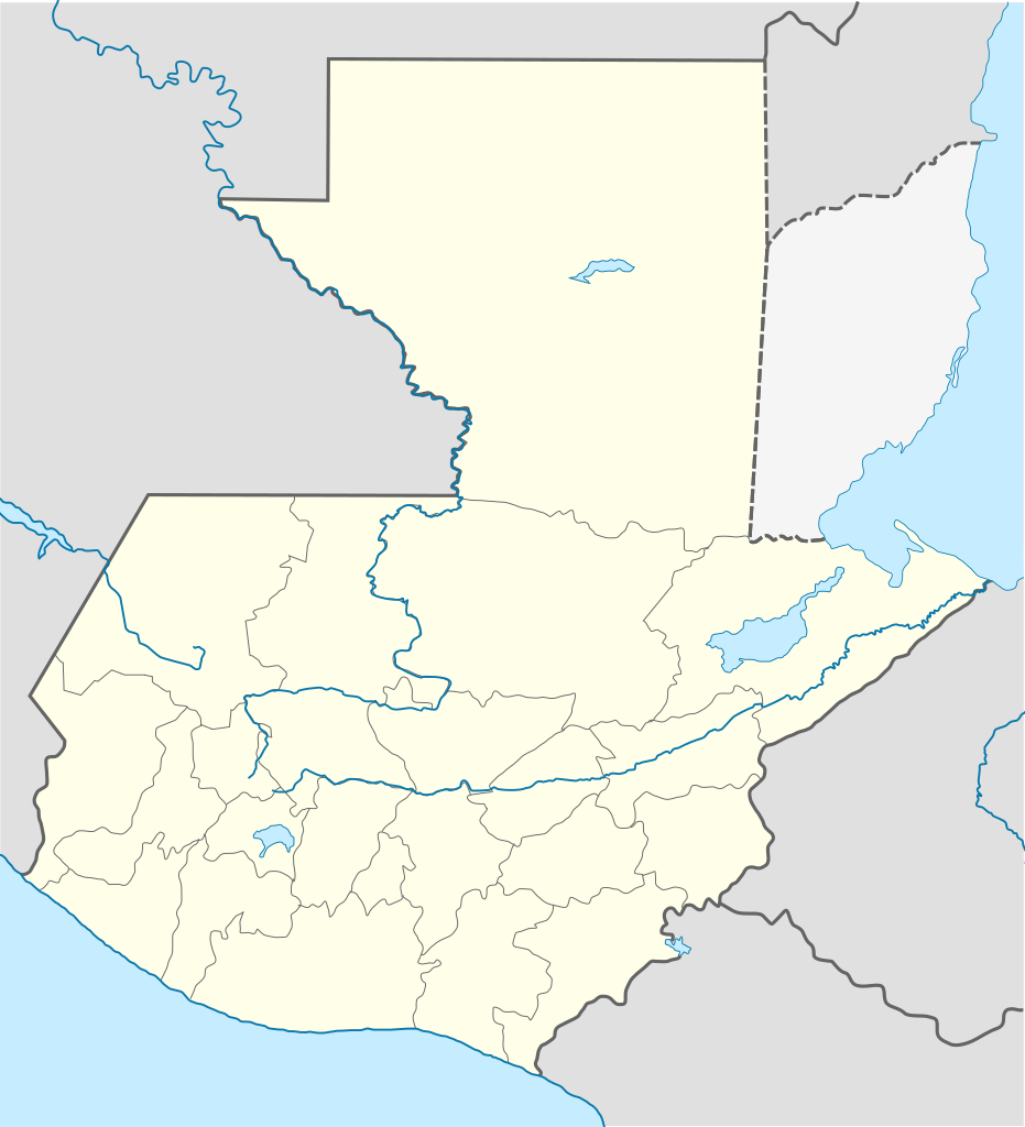
| 2022年10月18日 (二) 18:59 |  | 982 × 1,080(102 KB) | Janitoalevic(留言 | 貢獻) | Added disputed territory | |
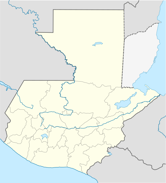
| 2009年10月26日 (一) 21:05 |  | 982 × 1,080(154 KB) | Spischot(留言 | 貢獻) | {{Information |Description={{de|Positionskarte von Guatemala}} Quadratische Plattkarte {{en|Location map of Guatemala}} Equirectangular projection, Geographic limits of the map: * N: 18.05° N * S: 13.54° N * W: 9 |
無法覆蓋此檔案。
檔案用途
下列32個頁面有用到此檔案:
- User:Janitoalevic/Gallery/Maps
- File:Alta Verapaz in Guatemala.svg
- File:Baja Verapaz in Guatemala.svg
- File:Chimaltenango in Guatemala.svg
- File:Chiquimula in Guatemala.svg
- File:Corredor seco.png
- File:Corredor seco en Guatemala (2010).svg
- File:El Progreso in Guatemala.svg
- File:El Quiche in Guatemala.svg
- File:Escuintla in Guatemala.svg
- File:Guatemala franja transversal del norte.png
- File:Guatemala in Guatemala.svg
- File:Guatemalapalma2014.JPG
- File:Guatepetroleo.jpg
- File:Huehuetenango in Guatemala.svg
- File:Izabal in Guatemala.svg
- File:Jalapa in Guatemala.svg
- File:Jutiapa in Guatemala.svg
- File:Mapa del Caribe (límites marinos).svg
- File:Peten in Guatemala.svg
- File:Quetzaltenango in Guatemala.svg
- File:Region II in Guatemala.svg
- File:Region I in Guatemala.svg
- File:Relief map of Guatemala.jpg
- File:Retalhuleu in Guatemala.svg
- File:Sacatepequez in Guatemala.svg
- File:San Marcos in Guatemala.svg
- File:Santa Rosa in Guatemala.svg
- File:Solola in Guatemala.svg
- File:Suchitepequez in Guatemala.svg
- File:Totonicapan in Guatemala.svg
- File:Zacapa in Guatemala.svg
.svg)
.svg)
全域檔案使用狀況
以下其他 wiki 使用了這個檔案:
- af.wikipedia.org 的使用狀況
- an.wikipedia.org 的使用狀況
- ar.wikipedia.org 的使用狀況
- ast.wikipedia.org 的使用狀況
- Puerto San José
- San Pedro Sacatepéquez (Guatemala)
- Ciudá de Guatemala
- Volcán Santa María
- Volcán de Fueu
- Módulu:Mapa de llocalización/datos/Guatemala/usu
- Uaxactún
- Quiriguá
- Terremotu de Guatemala de 1902
- Campusantu de la Ciudá de Guatemala
- Aeropuertu Bananera
- Aeropuertu de Coatepeque
- Aeropuertu de Cobán
- Aeropuertu de Huehuetenango
- Aeropuertu de Playa Grande
- Aeropuertu de Puerto Barrio
- Aeropuertu de Puerto San José
- Aeropuertu de Quetzaltenango
- Aeropuertu de Quiché
- Aeropuertu de Retalhuleu
- Puerto Barrio
- Puertu Quetzal
- Santo Tomás de Castilla
- Plantía:Mapa de llocalización de Guatemala
- Volcán San Pedro (Guatemala)
- az.wikipedia.org 的使用狀況
- ba.wikipedia.org 的使用狀況
- be-tarask.wikipedia.org 的使用狀況
- be.wikipedia.org 的使用狀況
- bg.wikipedia.org 的使用狀況
- bn.wikipedia.org 的使用狀況
- bs.wikipedia.org 的使用狀況
檢視此檔案的更多全域使用狀況。