File:Haryana locator map.svg
ナビゲーションに移動
検索に移動

この SVG ファイルのこの PNG プレビューのサイズ: 481 × 599 ピクセル. その他の解像度: 193 × 240 ピクセル | 385 × 480 ピクセル | 617 × 768 ピクセル | 822 × 1,024 ピクセル | 1,645 × 2,048 ピクセル | 954 × 1,188 ピクセル。
元のファイル (SVG ファイル、954 × 1,188 ピクセル、ファイルサイズ: 83キロバイト)
キャプション
キャプション
このファイルの内容を1行で記述してください
| 題名 |
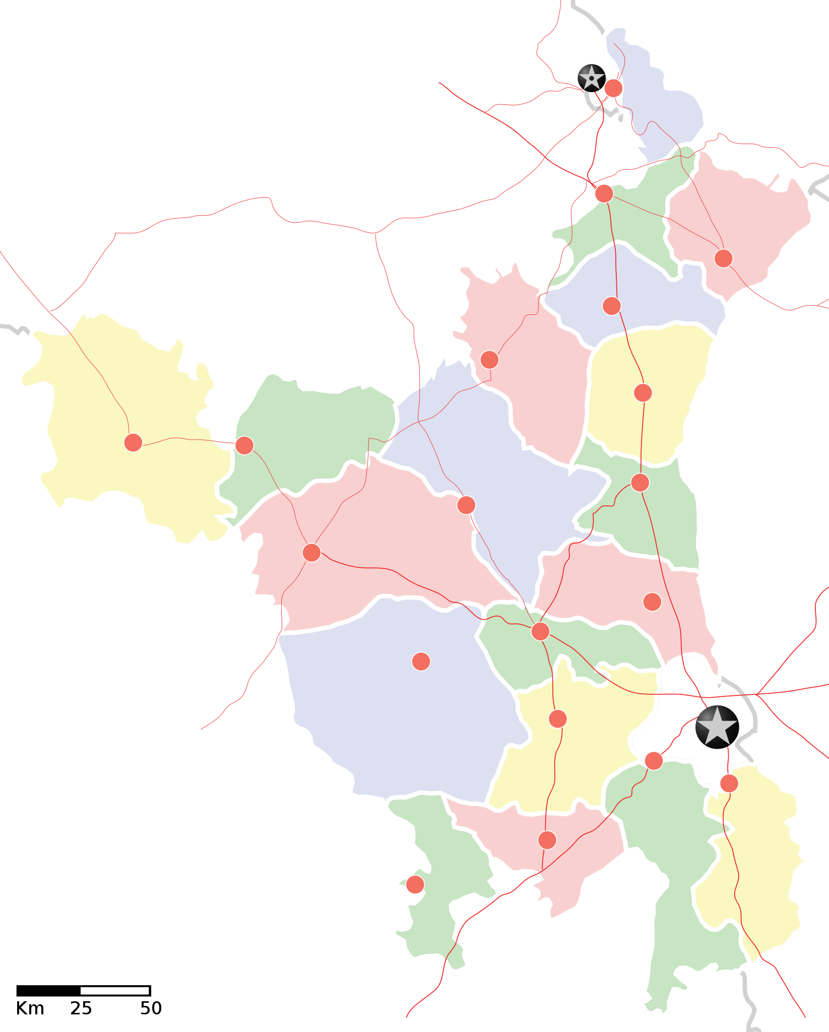
Haryana locator map |
||
| 記述 |
Locator map of the state of en:Haryana, India with district boundaries. Equirectangular projection. Geographic limits of the map: top=30.975 |
||
| 日付 | |||
| 原典 |
投稿者自身による著作物 |
||
| 作者 |
|
||
| 許可 (ファイルの再利用) |
この作品の著作権者である私は、この作品を以下のライセンスで提供します。 このファイルはクリエイティブ・コモンズ 表示-継承 3.0 非移植ライセンスのもとに利用を許諾されています。
|
||
| Geotemporal data | |||
| 記載日付 | 20世紀下半期および21世紀 | ||
| Georeferencing | If inappropriate please set warp_status = skip to hide. | ||
| Archival data | |||
| 備考 | Part of WikiProject India Maps | ||
![[1]](http://maps.newkerala.com/Haryana-Travel-Map.jpg)
ファイルの履歴
過去の版のファイルを表示するには、その版の日時をクリックしてください。
| 日付と時刻 | サムネイル | 寸法 | 利用者 | コメント | |
|---|---|---|---|---|---|
| 現在の版 | 2008年9月9日 (火) 17:35 | | 954 × 1,188 (83キロバイト) | Planemad (トーク | 投稿記録) | {{Information |Description= |Source= |Date= |Author= |Permission= |other_versions= }} |
| 2008年9月9日 (火) 17:31 |  | 954 × 1,188 (83キロバイト) | Planemad (トーク | 投稿記録) | {{Information |Description={{en|1=a}} |Source=Own work by uploader |Author=PlaneMad |Date= |Permission= |other_versions= }} <!--{{ImageUpload|full}}--> |
このファイルは上書きできません。
ファイルの使用状況
以下の 2 ページがこのファイルを使用しています:
グローバルなファイル使用状況
以下に挙げる他のウィキがこの画像を使っています:
- ar.wikipedia.org での使用状況
- as.wikipedia.org での使用状況
- awa.wikipedia.org での使用状況
- खाँचा:हरियाणा
- अम्बाला जिला
- करनाल जिला
- कर्ण झील
- कालका
- कुरुक्षेत्र जिला
- कैथल जिला
- गुड़गांव जिला
- गुरुग्राम
- चरखी दादरी
- तेलंगाना कय जिला
- पंचकुला
- पंचकूला
- पानीपत ज़िला
- पानीपत जिला
- पेहवा
- फरीदाबाद
- बड़खल झील
- मोरनी हिल्स
- रोहतक
- लोकसभा चुनाव क्षेत्रन कय सूची
- सोनीपत जिला
- हरियाणा विधानसभा
- हिसार
- खाँचा:तेलंगाना कय जिला
- खाँचा:हरियाणा कय लोकसभा चुनाव क्षेत्र
- खाँचा:हरियाणा कय विधानसभा चुनाव क्षेत्र
- ba.wikipedia.org での使用状況
- bo.wikipedia.org での使用状況
- ceb.wikipedia.org での使用状況
- ckb.wikipedia.org での使用状況
- de.wikipedia.org での使用状況
- en.wikipedia.org での使用状況
- es.wikipedia.org での使用状況
- fa.wikipedia.org での使用状況
- fi.wikipedia.org での使用状況
- gu.wikipedia.org での使用状況
このファイルのグローバル使用状況を表示する。