File:I-35E.svg
跳转到导航
跳转到搜索

此SVG文件的PNG预览的大小:749 × 599像素。 其他分辨率:300 × 240像素 | 600 × 480像素 | 960 × 768像素 | 1,280 × 1,024像素 | 2,559 × 2,048像素 | 751 × 601像素。
原始文件 (SVG文件,尺寸为751 × 601像素,文件大小:14 KB)
说明
说明
添加一行文字以描述该文件所表现的内容
This file is in the public domain because it comes from the Manual on Uniform Traffic Control Devices, sign number M1-1, which states specifically on page I-1 that:
|
.svg) |

|
本作品含有受商标法保护的内容。任意使用以致于侵害到商标拥有者的权益将可能会面临刑事责任与民事赔偿。请用户使用前自行查明相关法律规定并承担一切风险与责任。详情请参见免责声明。 此标签不表示文件的著作权状态。任何文件在附有此标签的同時还需要一个有效的著作权标签。请参阅许可协议说明页面以了解更多信息。 |
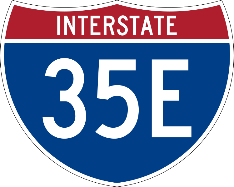
750 mm by 600 mm (30 in by 24 in) Interstate shield, made to the specifications of the 2004 edition of Standard Highway Signs (sign M1-1). Uses the Roadgeek 2005 fonts archive copy at the Wayback Machine. (United States law does not permit the copyrighting of typeface designs, and the fonts are meant to be copies of a U.S. Government-produced work anyway.) Colors are from [1] (Pantone Red 187 and Blue 294), converted to RGB by [2]. The outside border has a width of 1 (1 mm) and a color of black so it shows up; in reality, signs have no outside border.
文件历史
点击某个日期/时间查看对应时刻的文件。
| 日期/时间 | 缩略图 | 大小 | 用户 | 备注 | |
|---|---|---|---|---|---|
| 当前 | 2007年5月17日 (四) 08:59 | | 751 × 601(14 KB) | Ltljltlj(留言 | 贡献) | |
| 2006年4月5日 (三) 07:23 |  | 751 × 601(12 KB) | SPUI~commonswiki(留言 | 贡献) | {{spuiother}} 750 mm by 600 mm (30 in by 24 in) Interstate shield, made to the specifications of the [http://mutcd.fhwa.dot.gov/SHSm/Guide.pdf 2004 edition of Standard Highway Signs] (sign M1-1). Uses the [http://www.triskele.com/fonts/index.html Roadgeek |
您不可以覆盖此文件。
文件用途
以下4个页面使用本文件:
全域文件用途
以下其他wiki使用此文件:
- de.wikipedia.org上的用途
- en.wikipedia.org上的用途
- Saint Paul, Minnesota
- Interstate 20
- Interstate 30
- Interstate 35
- Interstate 94
- Denton County, Texas
- Dallas County, Texas
- Dakota County, Minnesota
- Anoka County, Minnesota
- U.S. Route 12
- U.S. Route 10
- Oak Cliff
- U.S. Route 77
- U.S. Route 67
- U.S. Route 287
- U.S. Route 377
- U.S. Route 52
- Trinity Railway Express
- Interstate 494
- Avenue of the Saints
- Metro Green Line (Minnesota)
- Minnesota State Highway 36
- Interstate 694
- Texas State Highway 121
- Minnesota State Highway 5
- Minnesota State Highway 77
- County State-Aid Highway 42 (Minnesota)
- Interstate 345
- Reunion District, Dallas
- President George Bush Turnpike
- Minnesota State Highway 110
- Farmers Market District, Dallas
- Texas State Highway 183
- Texas State Highway Loop 12
- Dallas North Tollway
- Interstate 635 (Texas)
- Texas State Highway Spur 366
- Orange Line (DART)
- Trinity Parkway
- Central Expressway (Dallas)
- List of suffixed Interstate Highways
- West Dallas
- Interstate 35E (Minnesota)
- Interstate 35W (Texas)
- Interstate 35W (Minnesota)
- User:Drumguy8800/Maps
- Government District, Dallas
查看此文件的更多全域用途。