File:I-66.svg

Archivo original (archivo SVG, nominalmente 601 × 601 píxeles, tamaño de archivo: 15 kB)
Leyendas
Leyendas
This file is in the public domain because it comes from the Manual on Uniform Traffic Control Devices, sign number M1-1, which states specifically on page I-1 that:
|
.svg) |

|
Este trabajo contiene material que puede estar sujeto a restricciones legales derivadas por el uso de marcas registradas en una o más jurisdicciones. Antes de usar este contenido por favor asegúrese de que usted tiene el permiso para usarlo conforme a las leyes y circunstancias que aplicarían en caso de querer usarlo. Usted es el único responsable de asegurarse que usted no infringe los derechos de autor de esta marca registrada. Vea nuestro aviso legal. El uso de esta marca registrada no indica ni apoyo por parte del propietario a Wikimedia. El uso de esta marca no indica aprobación de su titular, Wikimedia Commons o la Fundación Wikimedia, ni viceversa. Esta etiqueta no indica el estado de los derechos de autor del trabajo adjunto. Se requiere una etiqueta de derechos de autor normal. Para más información vea Commons:Sobre las licencias. |
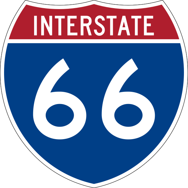
600 mm by 600 mm (24 in by 24 in) Interstate shield, made to the specifications of the 2004 edition of Standard Highway Signs (sign M1-1). Uses the Roadgeek 2005 fonts archive copy at the Wayback Machine. (United States law does not permit the copyrighting of typeface designs, and the fonts are meant to be copies of a U.S. Government-produced work anyway.) Colors are from [1] (Pantone Red 187 and Blue 294), converted to RGB by [2]. The outside border has a width of 1 (1 mm) and a color of black so it shows up; in reality, signs have no outside border.
Historial del archivo
Haz clic sobre una fecha y hora para ver el archivo tal como apareció en ese momento.
| Fecha y hora | Miniatura | Dimensiones | Usuario | Comentario | |
|---|---|---|---|---|---|
| actual | 09:13 17 may 2007 | | 601 × 601 (15 kB) | Ltljltlj (discusión | contribs.) | |
| 02:12 5 abr 2006 |  | 601 × 601 (13 kB) | SPUI~commonswiki (discusión | contribs.) | {{spuiother}} 600 mm by 600 mm (24 in by 24 in) Interstate shield, made to the specifications of the [http://mutcd.fhwa.dot.gov/SHSm/Guide.pdf 2004 edition of Standard Highway Signs] (sign M1-1). Uses the [http://www.triskele.com/fonts/index.html Roadgeek |
No puedes sobrescribir este archivo.
Usos del archivo
Las siguientes páginas usan este archivo:
Uso global del archivo
Las wikis siguientes utilizan este archivo:
- Uso en bs.wikipedia.org
- Uso en de.wikipedia.org
- Uso en de.wikivoyage.org
- Uso en en.wikipedia.org
- Frederick County, Virginia
- Potomac River
- List of Interstate Highways
- Appalachian Trail
- Interstate 81
- Warren County, Virginia
- Prince William County, Virginia
- Fauquier County, Virginia
- Fairfax County, Virginia
- Interstate 66
- Washington–Baltimore combined statistical area
- Virginia State Route 267
- U.S. Route 50
- Blue Line (Washington Metro)
- Orange Line (Washington Metro)
- Arlington Memorial Bridge
- U.S. Route 17
- K Street (Washington, D.C.)
- Woodrow Wilson Bridge
- U.S. Route 15
- U.S. Route 29
- U.S. Route 522
- U.S. Route 340
- Capital Beltway
- Virginia State Route 620 (Fairfax and Loudoun Counties)
- Interstate 395 (Virginia–District of Columbia)
- Henry G. Shirley Memorial Highway
- Skyline Drive
- Rock Creek and Potomac Parkway
- George Washington Memorial Parkway
- Theodore Roosevelt Bridge
- List of auxiliary Interstate Highways
- Virginia State Route 110
- Key Bridge (Washington, D.C.)
- Virginia State Route 7
- Virginia State Route 236
- Fairfax County Parkway
- Virginia State Route 120
- U.S. Route 48
- Virginia State Route 123
- State highways in Virginia
- Washington metropolitan area
- List of crossings of the Potomac River
- Virginia State Route 28
- Silver Line (Washington Metro)
Ver más uso global de este archivo.