File:Ille-et-Vilaine department relief location map.jpg
跳至導覽
跳至搜尋
預覽大小:461 × 599 像素。 其他解析度:185 × 240 像素 | 369 × 480 像素 | 856 × 1,112 像素。
原始檔案 (856 × 1,112 像素,檔案大小:259 KB,MIME 類型:image/jpeg)
說明
說明
添加單行說明來描述出檔案所代表的內容
摘要
[編輯]| 拍攝地點 | | 位於此地的本圖片與其他圖片: OpenStreetMap |
|---|
| 描述 |
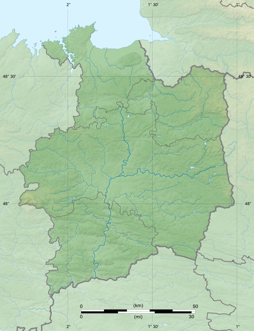
English: Blank physical map of the department of Ille-et-Vilaine, France, for geo-location purpose, with distinct boundaries for regions, departments and arrondissements.
Français : Carte physique vierge du département de l'Ille-et-Vilaine, France, destinée à la géolocalisation, avec limite distincte des régions, départements et arrondissements. Scales: 1:520,000 (precision: 130 m) for the topography; 1:7,480,000 (precision: 1,870 m) for the bathymetry
Geographic limits of the map:
|
||
| 日期 | |||
| 來源 |
自己的作品
|
||
| 作者 | Eric Gaba (Sting - fr:Sting) | ||
| 授權許可 (重用此檔案) |
|
||
| 其他版本 |
|

授權條款
[編輯]
我,本作品的著作權持有者,決定用以下授權條款發佈本作品:
此檔案採用創用CC 姓名標示-相同方式分享 3.0 未在地化版本授權條款。
- 您可以自由:
- 分享 – 複製、發佈和傳播本作品
- 重新修改 – 創作演繹作品
- 惟需遵照下列條件:
- 姓名標示 – 您必須指名出正確的製作者,和提供授權條款的連結,以及表示是否有對內容上做出變更。您可以用任何合理的方式來行動,但不得以任何方式表明授權條款是對您許可或是由您所使用。
- 相同方式分享 – 如果您利用本素材進行再混合、轉換或創作,您必須基於如同原先的相同或兼容的條款,來分布您的貢獻成品。

|
已授權您依據自由軟體基金會發行的無固定段落、封面文字和封底文字GNU自由文件授權條款1.2版或任意後續版本,對本檔進行複製、傳播和/或修改。該協議的副本列在GNU自由文件授權條款中。 |
您可以選擇您需要的授權條款。
檔案歷史
點選日期/時間以檢視該時間的檔案版本。
| 日期/時間 | 縮圖 | 尺寸 | 使用者 | 備註 | |
|---|---|---|---|---|---|
| 目前 | 2010年7月17日 (六) 22:41 | | 856 × 1,112(259 KB) | Sting(留言 | 貢獻) | Color profile |
| 2008年8月12日 (二) 13:38 |  | 856 × 1,112(273 KB) | Sting(留言 | 貢獻) | == Summary == {{Location|48|09|00|N|01|39|00|W|scale:1000000}} <br/> {{Information |Description={{en|Blank relief map of the department of Ille-et-Vilaine, France, for geo-location purpose, with distinct boundaries for regions, dep |
無法覆蓋此檔案。
檔案用途
下列3個頁面有用到此檔案:
全域檔案使用狀況
以下其他 wiki 使用了這個檔案:
- als.wikipedia.org 的使用狀況
- ar.wikipedia.org 的使用狀況
- ceb.wikipedia.org 的使用狀況
- cs.wikipedia.org 的使用狀況
- cy.wikipedia.org 的使用狀況
- de.wikipedia.org 的使用狀況
- en.wikipedia.org 的使用狀況
- eo.wikipedia.org 的使用狀況
- Rennes
- Ille-et-Vilaine
- Saint-Malo
- Vitré
- Saint-Méen-le-Grand
- Baziliko Saint-Sauveur de Rennes
- Dinard
- Ŝablono:Geokesto lokumilo Ille-et-Vilaine
- Acigné
- Noyal-sur-Vilaine
- Cesson-Sévigné
- Chavagne
- Bruz
- Guichen
- Bourg-des-Comptes
- Pléchâtel
- Bécherel
- Combourg
- Châteaugiron
- Ŝablono:Situo sur mapo Francio Ille-et-Vilaine
- La Richardais
- Pleurtuit
- Quédillac
- Saint-Suliac
- Le Minihic-sur-Rance
- Saint-Jouan-des-Guérets
- Ploubalay
- Trégon
- Saint-Briac-sur-Mer
- Saint-Lunaire
- Paramé
- Cancale
檢視此檔案的更多全域使用狀況。