File:India Iraq Locator.png
跳至導覽
跳至搜尋
預覽大小:778 × 600 像素。 其他解析度:312 × 240 像素 | 623 × 480 像素 | 973 × 750 像素。
原始檔案 (973 × 750 像素,檔案大小:2.09 MB,MIME 類型:image/png)
說明
說明
添加單行說明來描述出檔案所代表的內容
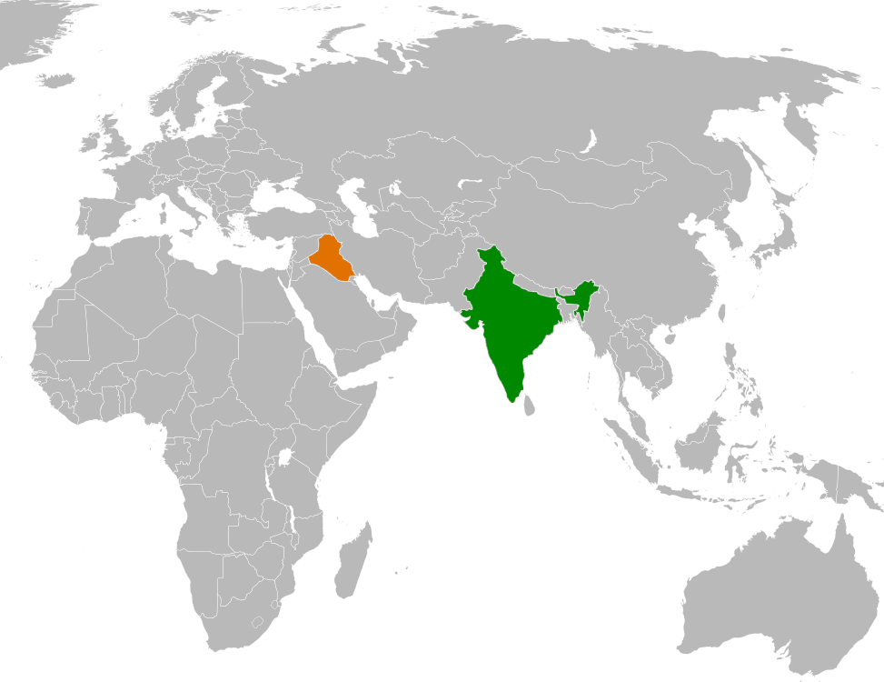
| 描述 | Locator map showing India and Iraq | ||
| 日期 | |||
| 來源 | self-made based on Image:BlankMap-World6, compact.svg | ||
| 作者 | Mangostar | ||
| 授權許可 (重用此檔案) |
|
檔案歷史
點選日期/時間以檢視該時間的檔案版本。
| 日期/時間 | 縮圖 | 尺寸 | 用戶 | 備註 | |
|---|---|---|---|---|---|
| 目前 | 2008年5月28日 (三) 05:08 | | 973 × 750(2.09 MB) | Calliopejen1(對話 | 貢獻) | {{Information |Description=Locator map showing India and Iraq |Source=self-made based on Image:BlankMap-World6, compact.svg |Date=2008-05-27 |Author= Mangostar |Permission={{PD-self}} |other_versions= }} |
| 2008年5月28日 (三) 05:00 |  | 973 × 750(104 KB) | Calliopejen1(對話 | 貢獻) | {{Information |Description=Locator map showing India and Iraq |Source=self-made based on Image:BlankMap-World6, compact.svg |Date=2008-05-27 |Author= Mangostar |Permission={{PD-self}} |other_versions= }} |
無法覆蓋此檔案。
檔案用途
沒有使用此檔案的頁面。
全域檔案使用狀況
以下其他 wiki 使用了這個檔案:
- en.wikipedia.org 的使用狀況
- zh.wikipedia.org 的使用狀況