File:India Maharashtra locator map.svg

মূল ফাইল (এসভিজি ফাইল, সাধারণত ১,৫৭৪ × ১,৭৩৮ পিক্সেল, ফাইলের আকার: ৮৩৬ কিলোবাইট)
ক্যাপশনসমূহ
ক্যাপশন
| শিরোনাম |
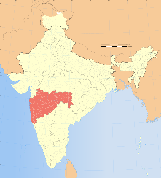
Maharashtra locator map |
|||||||||
| বর্ণনা |
Locator map of the state of Maharashtra, India with district boundaries. |
|||||||||
| মানচিত্রের চিত্র ব্যাখ্যা |
 |
|||||||||
| তারিখ | ||||||||||
| উৎস |
নিজের কাজ |
|||||||||
| স্রষ্টা |
|
|||||||||
| অনুমতি (এ ফাইলের পুনঃব্যবহার) |
আমি, এই কাজের স্বত্বাধিকারী, এতদ্দ্বারা আমি এই কাজকে নিম্ন বর্ণিত লাইসেন্সের আওতায় প্রকাশ করলাম: এই ফাইলটি ক্রিয়েটিভ কমন্স অ্যাট্রিবিউশন-শেয়ার অ্যালাইক ৩.০ আনপোর্টেড লাইসেন্সের আওতায় লাইসেন্সকৃত।
|
|||||||||
| Geotemporal data | ||||||||||
| Date depicted | ২০তম শতাব্দী-এর দ্বিতীয়ার্ধ এবং ২১তম শতাব্দী | |||||||||
| Spatial reference system | conic | |||||||||
| ভৌগলিক সীমা |
|
|||||||||
| Warper-এ মানচিত্রের আস্তরণ | If inappropriate please set warp_status = skip to hide. | |||||||||
| Archival data | ||||||||||
| টীকা | Part of WikiProject India Maps | |||||||||
| অন্যান্য সংস্করণ |
|
|||||||||


Notes
[সম্পাদনা]Depiction of India's borders
[সম্পাদনা]- The territorial boundaries of India are shown as per the actual ground situation in accordance with international practices followed by the United Nations ([1], [2]) and the National Geographic Society ([3], [4])
- This map is meant to be for illustrative purpose only and is not authenticated by official government sources. Please check the list of sources and references used to create the map for a measure of accuracy and verifiability.
- The usage of these maps in India, Pakistan and China are governed by different laws that restrict depictions of boundaries other than what is officially recognized by the state. Please check local laws and modify the map accordingly before use.
Explanation of disputed boundaries
[সম্পাদনা]

- Boundary of Indian claim : The territory India claims is legally theirs, but the claim is disputed by China and Pakistan.
- Line of Control/Line of Conflict : The de facto administrative boundary recognised by the international community. This UN ceasefire line is considered as a temporary solution to an ongoing conflict since the departure of the British Raj.
Borders of disputed regions
[সম্পাদনা]The depicted extent of the former territory of the British Indian Empire, succeeded by Republic of India, may not be accepted by few countries as legal due to ongoing border disputes:
- The northern Himalayan region of the disputed territory Indian-administered Kashmir is claimed by India including (Pakistan-administered Kashmir) and the Chinese-occupied territory of (Ladakh plateau). Since 1972, it is divided between all three countries. See also Line of Control and Line of Actual Control.
- Siachen glacier (shown white) is an actively contested region between India and Pakistan. Since 1984, the region is under Indian control.
- The northeastern territory of Arunachal Pradesh is almost entirely claimed by China as part of its Tibetan territory.
- Minor areas of eastern Kashmir's Ladakh division, Himachal Pradesh and Uttarakhand on the Chinese frontier are claimed by China. These areas are under Indian control.
- A small area of Uttarakhand adjoining the Nepal border along the Sarda river is disputed between the two countries.
For a detailed map of all disputed regions in South Asia, see Image:India disputed areas map.svg
Internal borders
[সম্পাদনা]The borders of the state of Meghalaya, Assam and Arunachal Pradesh are shown as interpreted from the North-Eastern Areas (Reorganisation) Act, 1971, but has yet to be verified.
Territorial waters
[সম্পাদনা]The limit of the territorial waters of India extends to twelve nautical miles measured from the appropriate baseline. See this for more information.
ফাইলের ইতিহাস
যেকোনো তারিখ/সময়ে ক্লিক করে দেখুন ফাইলটি তখন কী অবস্থায় ছিল।
| তারিখ/সময় | সংক্ষেপচিত্র | মাত্রা | ব্যবহারকারী | মন্তব্য | |
|---|---|---|---|---|---|
| বর্তমান | ০৬:৫৩, ২৯ ডিসেম্বর ২০০৮ | | ১,৫৭৪ × ১,৭৩৮ (৮৩৬ কিলোবাইট) | Planemad (আলোচনা | অবদান) | {{Information |Description= |Source= |Date= |Author= |Permission= |other_versions= }} |
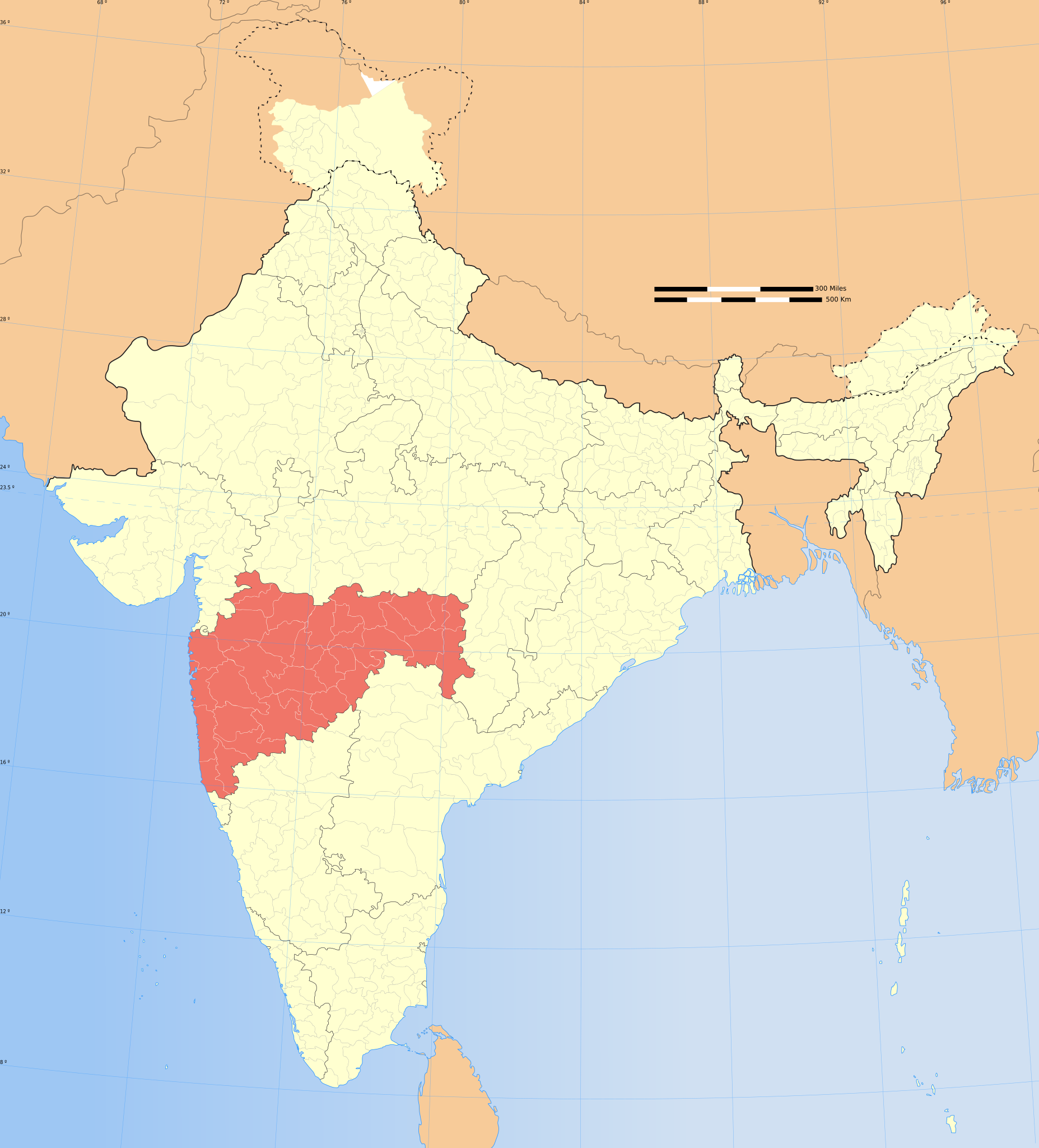
| ১৭:২৮, ৬ আগস্ট ২০০৬ |  | ১,৬৩৯ × ১,৮৫২ (৭৫০ কিলোবাইট) | Planemad (আলোচনা | অবদান) | {{WikiProject_India_Maps |Title=Maharashtra locator map |Description=Locator map of the state of Maharashtra, India with district boundaries. |Source=. |Date=August 6 2006 |Author=w:user:Nichalpw:user:Planemad |Thumbdir=CHANGE }} |
আপনি এই ফাইলটি প্রতিস্থাপন করতে পারবেন না।
ফাইলের ব্যবহার
নিম্নলিখিত 3টি পাতা এই ফাইল ব্যবহার করে:
ফাইলের বৈশ্বিক ব্যবহার
নিচের অন্যান্য উইকিগুলো এই ফাইলটি ব্যবহার করে:
- ba.wikipedia.org-এ ব্যবহার
- be-tarask.wikipedia.org-এ ব্যবহার
- be.wikipedia.org-এ ব্যবহার
- bg.wikipedia.org-এ ব্যবহার
- bh.wikipedia.org-এ ব্যবহার
- bn.wikipedia.org-এ ব্যবহার
- ca.wikipedia.org-এ ব্যবহার
- ceb.wikipedia.org-এ ব্যবহার
- de.wikipedia.org-এ ব্যবহার
- en.wikipedia.org-এ ব্যবহার
- User:Gaurav
- Deshastha Brahmin
- Category:Maharashtrian Wikipedians
- Nagpur level crossing disaster
- Wikipedia talk:WikiProject Indian maps
- Wikipedia:WikiProject India
- Wikipedia:WikiProject Maharashtra
- Category:WikiProject Maharashtra participants
- User:Ageo020/Userboxes
- Puntambekar
- User:B.arjun
- 2000 Mumbai landslide
- Kudaldeshkar Gaud Brahmin
- User:Adhirk
- User:Suhebriazsaifi
- Template:User interest India
- Template:User interest India/doc
- Marathi Brahmin
- Template:User WP India
- Template:User WP India/doc
- Wikipedia:Userboxes/Location/India
- Template:User in India
- Template:User in India/doc
- Template:User in Maharashtra
- Template:User in Maharashtra/doc
- Template:User WP Maharashtra
- Template:User WP Maharashtra/doc
- Template:User interest Maharashtra
- Template:User interest Maharashtra/doc
- Template:User citizen India
- Template:User citizen India/doc
- Template:User citizen Maharashtra
- User:Wasimmogal2007
- Template:User citizen Maharashtra/doc
- Template:User from India
- Template:User from India/doc
এই ফাইলের অন্যান্য বৈশ্বিক ব্যবহার দেখুন।