File:Indian states affected by July 2012 power cuts.svg
Aller à la navigation
Aller à la recherche

Taille de cet aperçu PNG pour ce fichier SVG : 530 × 599 pixels. Autres résolutions : 212 × 240 pixels | 425 × 480 pixels | 680 × 768 pixels | 906 × 1 024 pixels | 1 812 × 2 048 pixels | 1 639 × 1 852 pixels.
Fichier d’origine (Fichier SVG, nominalement de 1 639 × 1 852 pixels, taille : 302 kio)
Légendes
Légendes
Ajoutez en une ligne la description de ce que représente ce fichier
Northern and Eastern regions power blackouts in 2012
Description[modifier]
| Description |
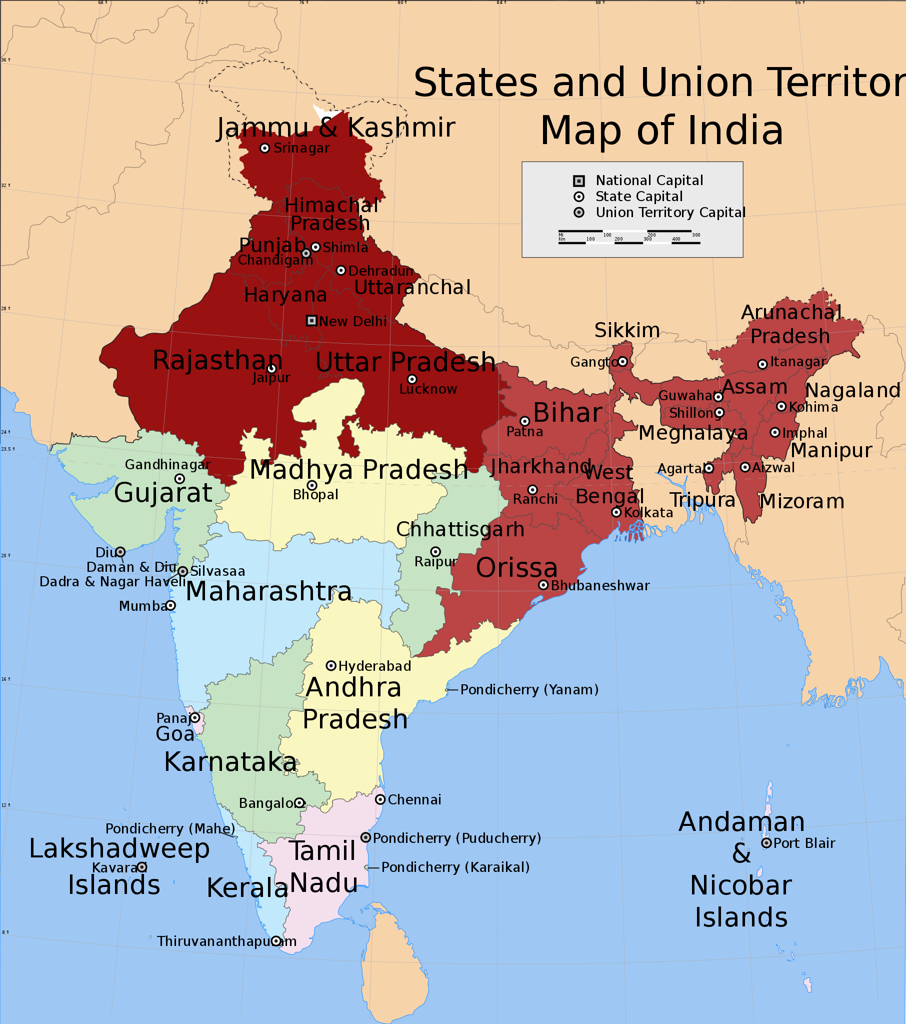
English: Shows in dark red the states listed at the time of creation: Jammu and Kashmir, Himachal Pradesh, Punjab, Haryana, Delhi, Rajasthan, Uttar Pradesh, Bihar, West Bengal, Orissa, Jharkhand, Sikkim, Assam, Meghalaya, Tripura, Nagaland, Manipur, Mizoram and Arunachal Pradesh.
Derived from India_states_and_union_territories_map.svg by changing the fill colour for those states. |
| Date | Not known. Modified 31 juillet 2012 |
| Source | File:India_states_and_union_territories_map.svg |
| Auteur | Whoever uploaded File:India_states_and_union_territories_map.svg to English Wikipedia |
| Autorisation (Réutilisation de ce fichier) |
http://en.wikipedia.org |
Conditions d’utilisation[modifier]
Ce fichier est disponible selon les termes de la licence Creative Commons Attribution – Partage dans les Mêmes Conditions 1.0 Générique
- Vous êtes libre :
- de partager – de copier, distribuer et transmettre cette œuvre
- d’adapter – de modifier cette œuvre
- Sous les conditions suivantes :
- paternité – Vous devez donner les informations appropriées concernant l'auteur, fournir un lien vers la licence et indiquer si des modifications ont été faites. Vous pouvez faire cela par tout moyen raisonnable, mais en aucune façon suggérant que l’auteur vous soutient ou approuve l’utilisation que vous en faites.
- partage à l’identique – If you alter, transform, or build upon this work, you must distribute the resulting work under the same license as the original.
Journal des téléversements d’origine[modifier]
Transféré de en.wikipedia à Commons.
La page de description originale était ici. Tous les noms d'utilisateur qui suivent se rapportent à en.wikipedia.
- 2012-07-31 20:55 Maproom 1639×1852× (309753 bytes) Added Uttaranchal to affected area, removed Assam and states south and east of it.
- 2012-07-31 17:29 Maproom 1639×1852× (309753 bytes) Uploading a file from a free published source using [[Wikipedia:File_Upload_Wizard|File Upload Wizard]]
La page de description originale était ici. Tous les noms d'utilisateur qui suivent se rapportent à en.wikipedia.
- 2012-08-01 15:07 Maproom 1639×1852× (309753 bytes) altered the status of (Bihar, West Bengal, Jharkhand, Orissa, Chhattisgarh) to 2nd-day only.
- 2012-08-01 08:12 Maproom 1639×1852× (309753 bytes) re-added the north-eastern states, in a lighter colour
- 2012-08-01 08:09 Maproom 1639×1852× (309753 bytes) re-added the north-eastern states, in a lighter colour
- 2012-07-31 20:55 Maproom 1639×1852× (309753 bytes) Added Uttaranchal to affected area, removed Assam and states south and east of it.
- 2012-07-31 17:29 Maproom 1639×1852× (309753 bytes) Uploading a file from a free published source using [[Wikipedia:File_Upload_Wizard|File Upload Wizard]]
Historique du fichier
Cliquer sur une date et heure pour voir le fichier tel qu'il était à ce moment-là.
| Date et heure | Vignette | Dimensions | Utilisateur | Commentaire | |
|---|---|---|---|---|---|
| actuel | 9 août 2012 à 15:17 | | 1 639 × 1 852 (302 kio) | Maproom (d | contributions) | un-marked Chhattisgarh, in accordance with request at http://en.wikipedia.org/wiki/Wikipedia:WikiProject_Maps/Requested_and_orphan_maps |
| 1 août 2012 à 17:34 |  | 1 639 × 1 852 (302 kio) | OgreBot (d | contributions) | (BOT): Uploading old version of file from en.wikipedia; originally uploaded on 2012-08-01 15:07:18 by Maproom | |
| 1 août 2012 à 17:33 |  | 1 639 × 1 852 (302 kio) | OgreBot (d | contributions) | (BOT): Uploading old version of file from en.wikipedia; originally uploaded on 2012-08-01 08:09:17 by Maproom | |
| 1 août 2012 à 17:33 |  | 1 639 × 1 852 (302 kio) | OgreBot (d | contributions) | (BOT): Uploading old version of file from en.wikipedia; originally uploaded on 2012-07-31 17:29:42 by Maproom | |
| 1 août 2012 à 04:36 |  | 1 639 × 1 852 (302 kio) | Makecat (d | contributions) | {{Information |Description={{en|Shows in dark red the states listed at the time of creation: Jammu and Kashmir, Himachal Pradesh, Punjab, Haryana, Delhi, Rajasthan, Uttar Pradesh, Bihar, West Bengal, Orissa, Jharkhand, Sikkim, Assam, Meghalaya, Tripura... |
Vous ne pouvez pas remplacer ce fichier.
Utilisations locales du fichier
Aucune page n’utilise ce fichier.
Utilisations du fichier sur d’autres wikis
Les autres wikis suivants utilisent ce fichier :
- Utilisation sur af.wikipedia.org
- Utilisation sur ar.wikipedia.org
- Utilisation sur en.wikipedia.org
- Utilisation sur es.wikipedia.org
- Utilisation sur fr.wikipedia.org
- Utilisation sur he.wikipedia.org
- Utilisation sur ko.wikipedia.org
- Utilisation sur lv.wikipedia.org
- Utilisation sur pt.wikipedia.org
- Utilisation sur ru.wikipedia.org
- Utilisation sur ta.wikipedia.org
- Utilisation sur th.wikipedia.org
- Utilisation sur vi.wikipedia.org
- Utilisation sur zh.wikipedia.org