File:Iranian borders in Omans and Persian Gulf (Cro).PNG
Aller à la navigation
Aller à la recherche
Taille de cet aperçu : 800 × 437 pixels. Autres résolutions : 320 × 175 pixels | 640 × 350 pixels | 1 024 × 559 pixels | 1 410 × 770 pixels.
Fichier d’origine (1 410 × 770 pixels, taille du fichier : 1,65 Mio, type MIME : image/png)
Légendes
Légendes
Ajoutez en une ligne la description de ce que représente ce fichier
Description
[modifier].PNG&action=edit§ion=1)
| Description |
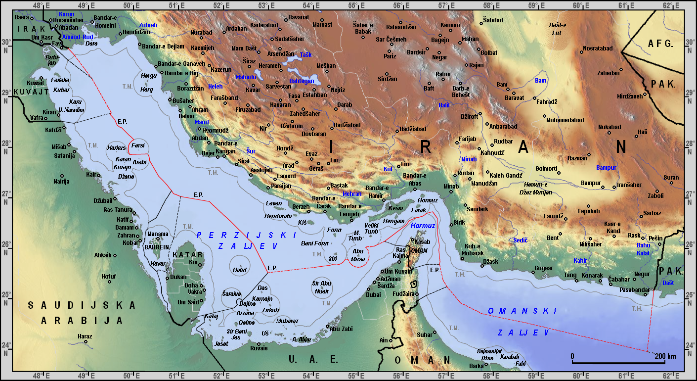
English: Iranian maritime borders in Gulf of Oman and Persian Gulf with Croatian description Hrvatski: Iranske morske granice u Omanskom i Perzijskom zaljevu |
| Date | |
| Source |
Own work, based on: • Relief background from Maps For Free • Toponyms from Geonames with Croatian transliteration • Maps and coordinates from Limits in the Seas (U.S. Department of State; Florida State University) • Documents from UN Maritime boundary delimitation agreements • Ahmad Razavi (1997): Continental shelf delimination and related maritime issues in the Persian Gulf • Pirouz Mojtahed-Zadeh (2003): Security and territoriality in the Persian Gulf: A maritime political geography • Pirouz Mojtahed-Zadeh (2006): Boundary Politics and International Boundaries of Iran, p. 261-365. • Reza Dehghani (2009): Continental Shelf Delimitation in the Persian |
| Auteur | Orijentolog |
Conditions d’utilisation
[modifier].PNG&action=edit§ion=2)
Moi, en tant que détenteur des droits d’auteur sur cette œuvre, je la publie sous la licence suivante :
Ce fichier est disponible selon les termes de la licence Creative Commons Attribution – Partage dans les Mêmes Conditions 3.0 (non transposée).
- Vous êtes libre :
- de partager – de copier, distribuer et transmettre cette œuvre
- d’adapter – de modifier cette œuvre
- Sous les conditions suivantes :
- paternité – Vous devez donner les informations appropriées concernant l'auteur, fournir un lien vers la licence et indiquer si des modifications ont été faites. Vous pouvez faire cela par tout moyen raisonnable, mais en aucune façon suggérant que l’auteur vous soutient ou approuve l’utilisation que vous en faites.
- partage à l’identique – Si vous modifiez, transformez, ou vous basez sur cette œuvre, vous devez distribuer votre contribution sous la même licence ou une licence compatible avec celle de l’original.
Historique du fichier
Cliquer sur une date et heure pour voir le fichier tel qu'il était à ce moment-là.
| Date et heure | Vignette | Dimensions | Utilisateur | Commentaire | |
|---|---|---|---|---|---|
| actuel | 26 mars 2012 à 01:35 | | 1 410 × 770 (1,65 Mio) | Orijentolog (d | contributions) |
Vous ne pouvez pas remplacer ce fichier.
Utilisations locales du fichier
Aucune page n’utilise ce fichier.
Utilisations du fichier sur d’autres wikis
Les autres wikis suivants utilisent ce fichier :
- Utilisation sur bs.wikipedia.org
- Utilisation sur en.wikipedia.org
- Utilisation sur hr.wikipedia.org
- Utilisation sur it.wiktionary.org
- Utilisation sur sh.wikipedia.org
.PNG&oldid=869185778)
Catégories :
- Maps of the Persian Gulf
- Maps of the Gulf of Oman
- Maps of borders of Iran
- Maps of borders of Iraq
- Geography of Kuwait
- International borders of Saudi Arabia
- International borders of Bahrain
- Maps of Qatar
- Maps of the United Arab Emirates
- International borders of Oman
- International borders of Pakistan
- Maps of the Bahu Kalat River
- Maps of the Helleh River
- Maps of the Kol River
- Maps of the Mand River (Iran)
- Maps of the Mehran River
- Maps of the Minab River
- Maps of the Zohreh River