File:Ireland United Kingdom Locator.png
Zur Navigation springen
Zur Suche springen
Größe dieser Vorschau: 656 × 600 Pixel. Weitere Auflösungen: 263 × 240 Pixel | 525 × 480 Pixel | 840 × 768 Pixel | 1.270 × 1.161 Pixel.
Originaldatei (1.270 × 1.161 Pixel, Dateigröße: 95 KB, MIME-Typ: image/png)
Bildtexte
Kurzbeschreibungen
Ergänze eine einzeilige Erklärung, was diese Datei darstellt.
Beschreibung[Bearbeiten]
| Beschreibung |
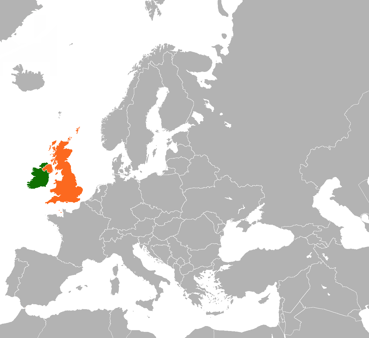
English: Map of Europe indicating the United Kingdom and Republic of Ireland. |
| Datum | |
| Quelle |
Eigenes Werk Based on File:BlankMap-World-v5.png |
| Urheber | Dancingwombatsrule |
Lizenz[Bearbeiten]
Dancingwombatsrule at the English Wikipedia, der Nutzungsrechtsinhaber dieses Werkes, veröffentlicht es hiermit unter der folgenden Lizenz:

|
Es ist erlaubt, die Datei unter den Bedingungen der GNU-Lizenz für freie Dokumentation, Version 1.2 oder einer späteren Version, veröffentlicht von der Free Software Foundation, zu kopieren, zu verbreiten und/oder zu modifizieren; es gibt keine unveränderlichen Abschnitte, keinen vorderen und keinen hinteren Umschlagtext.
Der vollständige Text der Lizenz ist im Kapitel GNU-Lizenz für freie Dokumentation verfügbar. |
| Diese Datei ist unter der Creative-Commons-Lizenz „Namensnennung – Weitergabe unter gleichen Bedingungen 3.0 nicht portiert“ lizenziert. | ||
| Namensnennung: Dancingwombatsrule at the English Wikipedia | ||
| ||
| Diese Lizenzmarkierung wurde auf Grund der GFDL-Lizenzaktualisierung hinzugefügt. |
Ursprüngliches Datei-Logbuch[Bearbeiten]
Die ursprüngliche Dateibeschreibungsseite war hier. Alle folgenden Benutzernamen beziehen sich auf en.wikipedia.
- 2011-03-19 13:15 Rannpháirtí anaithnid 450×422× (15027 bytes) Reverted to version as of 10:54, 29 August 2010
- 2011-03-13 20:23 Gavin Lisburn 450×422× (11617 bytes) Reverted to version as of 10:50, 29 August 2010
- 2011-03-13 20:22 Gavin Lisburn 450×422× (11617 bytes) Reverted to version as of 10:50, 29 August 2010; pink is the usual colour in maps & atlases to represent the UK, Dominions etc.
- 2010-08-29 10:54 Mabuska 450×422× (15027 bytes) Reverted to version as of 17:47, 21 November 2007 - turns out world-wide standard colours
- 2010-08-29 10:50 Mabuska 450×422× (11617 bytes) Recoloured Ireland and the United Kingdom to match the newer Ireland county maps better, which also have more neutral and less strong colours
- 2007-11-21 17:47 Dancingwombatsrule 450×422× (15027 bytes) '''Description:''' Map of the world indicating the United Kingdom and Republic of Ireland. For use in [[Anglo-Irish relations]] and similar articles. '''Source:''' Own work based on Image:BlankMap-World-v5.png '''Date:''' 19th July 2007 '''Author:''' [
Dateiversionen
Klicke auf einen Zeitpunkt, um diese Version zu laden.
| Version vom | Vorschaubild | Maße | Benutzer | Kommentar | |
|---|---|---|---|---|---|
| aktuell | 22:57, 28. Mai 2023 | | 1.270 × 1.161 (95 KB) | Aquintero82 (Diskussion | Beiträge) | Updated map |
| 17:28, 25. Mai 2013 |  | 450 × 422 (15 KB) | Dmcq (Diskussion | Beiträge) | Reverted to version as of 22:52, 6 May 2013: Sorry I see it is some stupid MOS standard | |
| 17:23, 25. Mai 2013 |  | 450 × 422 (11 KB) | Dmcq (Diskussion | Beiträge) | Reverted to version as of 03:02, 16 January 2012: use more standard colours | |
| 17:22, 25. Mai 2013 |  | 450 × 422 (11 KB) | Dmcq (Diskussion | Beiträge) | Reverted to version as of 03:02, 16 January 2012 | |
| 22:52, 6. Mai 2013 |  | 450 × 422 (15 KB) | Chipmunkdavis (Diskussion | Beiträge) | Reverted to version as of 03:02, 16 January 2012 Circling all the microstates puts an emphasis on them, which is not the point of this map | |
| 22:04, 6. Mai 2013 |  | 450 × 422 (20 KB) | Britannic124 (Diskussion | Beiträge) | More standard image. | |
| 03:02, 16. Jan. 2012 |  | 450 × 422 (15 KB) | OgreBot (Diskussion | Beiträge) | (BOT): Reverting to most recent version before archival | |
| 03:02, 16. Jan. 2012 |  | 450 × 422 (11 KB) | OgreBot (Diskussion | Beiträge) | (BOT): Uploading old version of file from en.wikipedia; originally uploaded on 2010-08-29 10:50:15 by Mabuska | |
| 04:53, 15. Jan. 2012 |  | 450 × 422 (15 KB) | File Upload Bot (Magnus Manske) (Diskussion | Beiträge) | {{BotMoveToCommons|en.wikipedia|year={{subst:CURRENTYEAR}}|month={{subst:CURRENTMONTHNAME}}|day={{subst:CURRENTDAY}}}} {{Information |Description={{en|'''Description:''' Map of the world indicating the United Kingdom and Republic of Ireland. For use in [ |
Du kannst diese Datei nicht überschreiben.
Dateiverwendung
Die folgende Seite verwendet diese Datei:
Globale Dateiverwendung
Die nachfolgenden anderen Wikis verwenden diese Datei:
- Verwendung auf ar.wikipedia.org
- Verwendung auf de.wikipedia.org
- Verwendung auf en.wikipedia.org
- Verwendung auf es.wikipedia.org
- Verwendung auf fa.wikipedia.org
- Verwendung auf fr.wikipedia.org
- Verwendung auf he.wikipedia.org
- Verwendung auf ja.wikipedia.org
- Verwendung auf pt.wikipedia.org
- Verwendung auf ru.wikipedia.org
- Verwendung auf uk.wikipedia.org
- Verwendung auf www.wikidata.org
- Verwendung auf zh.wikipedia.org