File:JB and surrounding towns.png
跳至導覽
跳至搜尋

預覽大小:800 × 566 像素。 其他解析度:320 × 226 像素 | 640 × 453 像素 | 924 × 654 像素。
原始檔案 (924 × 654 像素,檔案大小:1,020 KB,MIME 類型:image/png)
說明
說明
添加單行說明來描述出檔案所代表的內容
ooooooo
摘要
[編輯]
| 描述 |
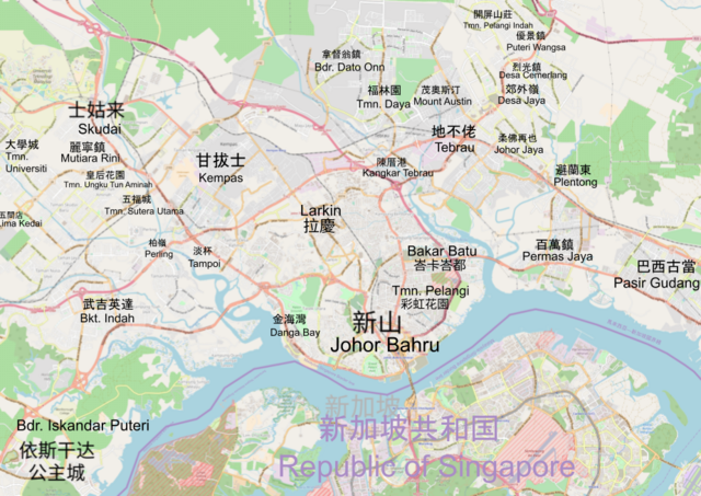
中文:新山地图,背景图采用OSM。 English: map of Johor Bahru. Background map provided by openstreetmap.org. |
| 日期 | 01/01/2024 |
| 來源 | 自己的作品,OpenStreetMap |
| 作者 | Wikipedia:User:28daniel |
| 其他版本 |
 File:JB map OSM.png Give credit to *angys*, the file is made using *angys*'s work, as the file can't be uploaded on *angys*'s work as permissionless. |
| 描寫 |
本地圖以OpenStreetMap計畫資料建立,由社群收集。 此地圖可能不完整,也可能包含錯誤。別只用它當導航。 |
|||
| 日期 | (參見檔案歷史) | |||
| 來源 | openstreetmap.org | |||
| 創作作者 |
OpenStreetMap 貢獻者 |
|||
| 授權許可 (重用此檔案) |
OpenStreetMap的資料依據開放資料庫授權條款(細節)提供。標準樣式的圖磚按照ODbL生產的作品授權。
|
|||
| 地理參考 | 如果不合適,請設定「warp_status = skip」為隱藏。 |
授權條款
[編輯]
| This work contains information from OpenStreetMap, which is made available under the Open Database License (ODbL).
The ODbL does not require any particular license for maps produced from ODbL data. Prior to 1 August 2020, map tiles produced by the OpenStreetMap Foundation were licensed under the CC-BY-SA-2.0 license. Maps produced by other people may be subject to other licences. |
檔案歷史
點選日期/時間以檢視該時間的檔案版本。
| 日期/時間 | 縮圖 | 尺寸 | 用戶 | 備註 | |
|---|---|---|---|---|---|
| 目前 | 2024年1月1日 (一) 06:15 | | 924 × 654(1,020 KB) | 28daniel(對話 | 貢獻) | Uploaded own work with UploadWizard |
無法覆蓋此檔案。
檔案用途
沒有使用此檔案的頁面。
全域檔案使用狀況
以下其他 wiki 使用了這個檔案:
- zh.wikipedia.org 的使用狀況