File:Japanese National Route Sign 0128.svg

Originaldatei (SVG-Datei, Basisgröße: 455 × 435 Pixel, Dateigröße: 12 KB)
Bildtexte
Kurzbeschreibungen
| Beschreibung |
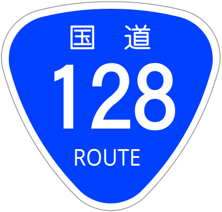
This is a diagram of Japanese National Route Sign. The glyphs of 国道 are the outline path from free font that is "NARAYAMA Maru Gothic" created by excl-zoo, based on "Wadalab Hosomaru Gothic". If you want to change the glyphs, you MUST check the license of substitute glyphs/fonts. |
| Datum | |
| Quelle | 道路標識、区画線及び道路標示に関する命令別表第2 |
| Urheber | excl-zoo |
This work is in the public domain in Japan according to Article 13 of the Copyright Act of Japan, which states that the following shall not form the subject matter of the rights provided for in this Chapter:
|

|
Dateiversionen
Klicke auf einen Zeitpunkt, um diese Version zu laden.
| Version vom | Vorschaubild | Maße | Benutzer | Kommentar | |
|---|---|---|---|---|---|
| aktuell | 15:33, 3. Sep. 2009 | | 455 × 435 (12 KB) | Monaneko (Diskussion | Beiträge) | Fix : 番号にIPAフォント(IPAGothic)のアウトラインパスを使用(IPAフォントは商用利用可能)。 |
| 19:46, 16. Dez. 2006 |  | 455 × 435 (9 KB) | Excl-zoo (Diskussion | Beiträge) | {{Information |Description=This is a diagram of Japanese National Route Sign. The glyphs of <span lang="ja">国道</span> are the outline path from free font that is "NARAYAMA Maru Gothic" created by excl-zoo, based on "Wadalab Hosomaru Go | |
| 19:51, 13. Dez. 2006 |  | 450 × 431 (9 KB) | Excl-zoo (Diskussion | Beiträge) | {{Information |Description=This is a diagram of Japanese National Route Sign. The glyphs of <span lang="ja">国道</span> are the outline path from free font that is "NARAYAMA Maru Gothic" created by excl-zoo, based on "Wadalab Hosomaru Got |
Du kannst diese Datei nicht überschreiben.
Dateiverwendung
Die folgenden 2 Seiten verwenden diese Datei:
Globale Dateiverwendung
Die nachfolgenden anderen Wikis verwenden diese Datei:
- Verwendung auf de.wikipedia.org
- Verwendung auf en.wikipedia.org
- Tateyama, Chiba
- Mobara
- Tōgane
- Katsuura, Chiba
- Kamogawa, Chiba
- Ichinomiya, Chiba
- Ōamishirasato
- Chōsei
- Onjuku
- List of highways numbered 128
- Minamibōsō
- Ōhara Station (Chiba)
- Awa-Kamogawa Station
- List of national highways of Japan
- Japan National Route 127
- Japan National Route 128
- Japan National Route 129
- Japan National Route 297
- Japan National Route 409
- Japan National Route 410
- Japan National Route 465
- Fukutawara Station
- Nagata Station (Chiba)
- Honnō Station
- Shin-Mobara Station
- Mobara Station
- Yatsumi Station
- Kazusa-Ichinomiya Station
- Torami Station
- Chōjamachi Station
- Mikado Station
- Namihana Station
- Onjuku Station
- Katsuura Station
- Ubara Station
- Kazusa-Okitsu Station
- Namegawa Island Station
- Awa-Kominato Station
- Awa-Amatsu Station
- Tateyama Station (Chiba)
- Kokonoe Station
- Emi Station
- Futomi Station (Chiba)
- Verwendung auf en.wikivoyage.org
- Verwendung auf id.wikipedia.org
- Verwendung auf ja.wikipedia.org
Weitere globale Verwendungen dieser Datei anschauen.