File:Jolfa-Aras2.jpg
跳至導覽
跳至搜尋
預覽大小:800 × 598 像素。 其他解析度:320 × 239 像素 | 640 × 479 像素 | 1,024 × 766 像素 | 1,280 × 957 像素 | 2,032 × 1,520 像素。
原始檔案 (2,032 × 1,520 像素,檔案大小:381 KB,MIME 類型:image/jpeg)
說明
說明
添加單行說明來描述出檔案所代表的內容
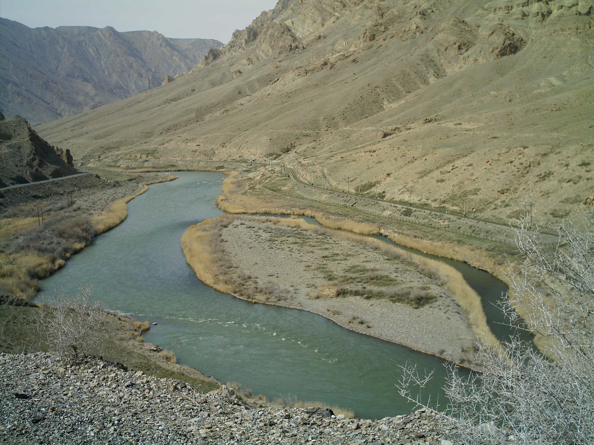
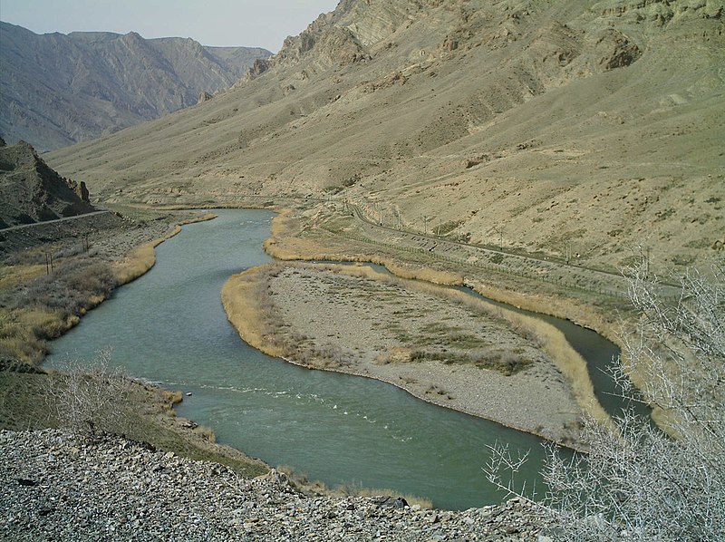
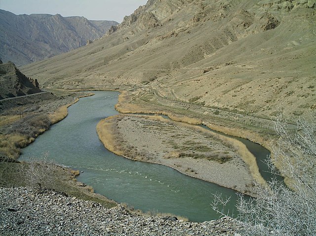
| 描述 | Aras river in the vicinity of Julfa-Iran (Left hand Iran - Right Hand Nakhichevan) - March 2006. The island seen in this picture is on the Iranian side of the border and is named Kasiri Island, after lieutenant Nourollah Kasiri. Kasiri was an Imperial Iranian Army cartographer who acted as Iran's representative in border dispute with the Soviet Union and persuaded the Soviets to accept this river island as Iranian by risking his own life. | ||||||||
| 日期 | |||||||||
| 來源 | en:image:Jolfa-Aras2.JPG | ||||||||
| 作者 | en:user:M karzarj | ||||||||
| 授權許可 (重用此檔案) |
我,本作品的著作權持有者,決定用以下授權條款發佈本作品:
您可以選擇您需要的授權條款。 |
||||||||
| 其他版本 | en:image:Jolfa-Aras2.JPG |

| 拍攝地點 | | 位於此地的本圖片與其他圖片: OpenStreetMap |
|---|
檔案歷史
點選日期/時間以檢視該時間的檔案版本。
| 日期/時間 | 縮圖 | 尺寸 | 使用者 | 備註 | |
|---|---|---|---|---|---|
| 目前 | 2006年9月4日 (一) 18:11 | | 2,032 × 1,520(381 KB) | Katpatuka(留言 | 貢獻) | == Summary == Aras river in the vicinity of Julfa-Iran (Left hand Iran - Right Hand Nakhichevan) - March 2006 == Licensing == {{GFDL-self}} |
無法覆蓋此檔案。
檔案用途
下列5個頁面有用到此檔案:
全域檔案使用狀況
以下其他 wiki 使用了這個檔案:
- af.wikipedia.org 的使用狀況
- ar.wikipedia.org 的使用狀況
- arz.wikipedia.org 的使用狀況
- ast.wikipedia.org 的使用狀況
- azb.wikipedia.org 的使用狀況
- az.wikipedia.org 的使用狀況
- az.wikibooks.org 的使用狀況
- az.wiktionary.org 的使用狀況
- be.wikipedia.org 的使用狀況
- bg.wikipedia.org 的使用狀況
- bn.wikipedia.org 的使用狀況
- bs.wikipedia.org 的使用狀況
- ca.wikipedia.org 的使用狀況
- ceb.wikipedia.org 的使用狀況
- cs.wikipedia.org 的使用狀況
- da.wikipedia.org 的使用狀況
- de.wikipedia.org 的使用狀況
- en.wikipedia.org 的使用狀況
- en.wikivoyage.org 的使用狀況
- en.wiktionary.org 的使用狀況
- eo.wikipedia.org 的使用狀況
- es.wikipedia.org 的使用狀況
- et.wikipedia.org 的使用狀況
檢視此檔案的更多全域使用狀況。