File:Kansas official transportation map legend.png
跳至導覽
跳至搜尋

預覽大小:265 × 599 像素。 其他解析度:106 × 240 像素 | 397 × 897 像素。
原始檔案 (397 × 897 像素,檔案大小:218 KB,MIME 類型:image/png)
說明
說明
添加單行說明來描述出檔案所代表的內容
摘要
[編輯]
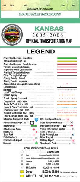
| 描述 | This legend is copied at a resolution of 100 pixels/inch from the original PDF file. |
| 日期 | |
| 來源 | Kansas 2005–2006 Official Transportation Map (link) |
| 作者 | Designed and published by the Kansas Department of Transportation. |
| 授權許可 (重用此檔案) |
授權條款
[編輯]
| 此作品已由其作者,Kansas Department of Transportation,釋出至公有領域。此授權條款在全世界均適用。 這可能在某些國家不合法,如果是的話: Kansas Department of Transportation授予任何人有權利使用此作品於任何用途,除受法律約束外,不受任何限制。
|
This map is published by the Kansas Department of Transportation and is distributed to the public free of charge. KDOT makes no warranties, guarantees, or representations for accuracy of this information and assumes no liability for errors or omissions. Maps produced using tax payer dollars are free for public use.
檔案歷史
點選日期/時間以檢視該時間的檔案版本。
| 日期/時間 | 縮圖 | 尺寸 | 使用者 | 備註 | |
|---|---|---|---|---|---|
| 目前 | 2006年2月20日 (一) 04:34 | | 397 × 897(218 KB) | Moverton(留言 | 貢獻) | Source: Kansas 2005-2006 Official Transportation Map {{PD-US}} |
無法覆蓋此檔案。
檔案用途
沒有使用此檔案的頁面。