File:Kingdoms of Castile and León 1097.svg
跳至導覽
跳至搜尋

此 SVG 檔案的 PNG 預覽的大小:485 × 350 像素。 其他解析度:320 × 231 像素 | 640 × 462 像素 | 1,024 × 739 像素 | 1,280 × 924 像素 | 2,560 × 1,847 像素。
原始檔案 (SVG 檔案,表面大小:485 × 350 像素,檔案大小:747 KB)
說明
說明
添加單行說明來描述出檔案所代表的內容
摘要
[編輯]本vector image使用Inkscape創作 .


.svg)
.svg)
.svg)
.svg)
.svg)


.svg)
.svg)
.svg)


.png)
.png)


.svg)


.svg)

.svg)


.svg)
.svg)
.svg)
.svg)


.svg)
.png)


.svg)


.svg)
.svg)


.svg)


.svg)


.svg)
.svg)
.svg)
.svg)
.svg)
.svg)
.svg)
_cropped.svg)
.svg)
.svg)
.svg)
.svg)
.svg)
.svg)
.svg)
.svg)
.svg)
.svg)
.svg)
.svg)
.svg)
.svg)
.svg)
.svg)
.svg)
.svg)
.svg)
.svg)
.svg)
.svg)
.svg)
.svg)
.svg)
.svg)
.svg)
.svg)
.svg)
.svg)
.svg)
.svg)
.svg)
.svg)
.svg)
.svg)
.svg)
.svg)
.svg)
.svg)
.svg)
.svg)
.svg)
.svg)
.svg)
授權條款
[編輯]
此檔案採用創用CC 姓名標示-相同方式分享 4.0 國際授權條款。
- 您可以自由:
- 分享 – 複製、發佈和傳播本作品
- 重新修改 – 創作演繹作品
- 惟需遵照下列條件:
- 姓名標示 – 您必須指名出正確的製作者,和提供授權條款的連結,以及表示是否有對內容上做出變更。您可以用任何合理的方式來行動,但不得以任何方式表明授權條款是對您許可或是由您所使用。
- 相同方式分享 – 如果您利用本素材進行再混合、轉換或創作,您必須基於如同原先的相同或兼容的條款,來分布您的貢獻成品。
檔案歷史
點選日期/時間以檢視該時間的檔案版本。
| 日期/時間 | 縮圖 | 尺寸 | 使用者 | 備註 | |
|---|---|---|---|---|---|
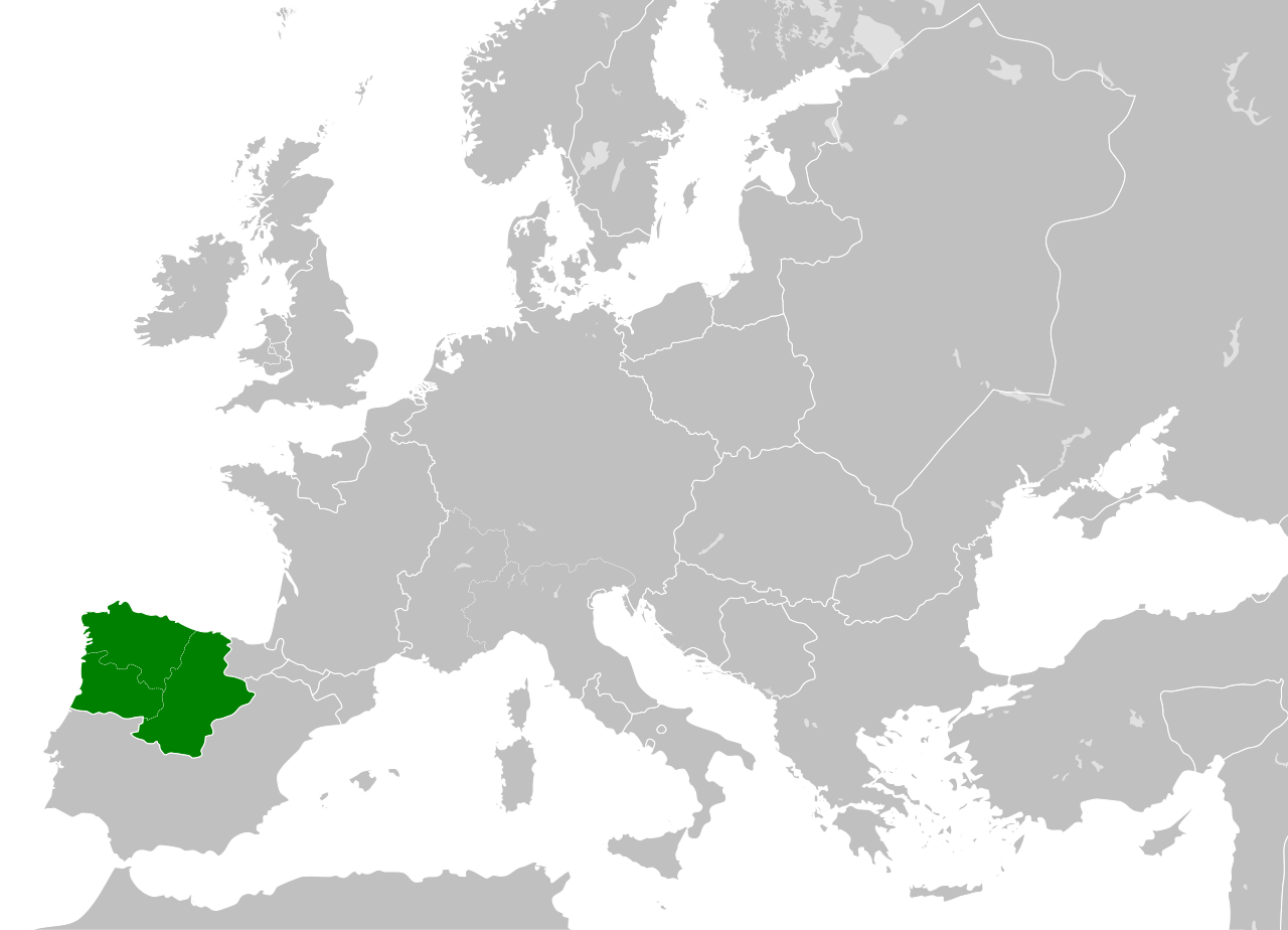
| 目前 | 2016年5月28日 (六) 03:52 | | 485 × 350(747 KB) | Alphathon(留言 | 貢獻) | == {{int:filedesc}} == {{Inkscape}} {{Information |Description={{en|A map of the Kingdoms of Castile and León (including the en:County of Portugal) within Europe circa 1097 CE, during the... |
無法覆蓋此檔案。
檔案用途
沒有使用此檔案的頁面。