File:La Réunion department location map.svg
Zur Navigation springen
Zur Suche springen

Gröössi vor PNG-Vorschou vor SVG-Datei: 645 × 600 Pixel. Wyteri Ufflösige: 258 × 240 Pixel | 516 × 480 Pixel | 826 × 768 Pixel | 1.102 × 1.024 Pixel | 2.203 × 2.048 Pixel | 1.037 × 964 Pixel.
Originaldatei (SVG-Datei, Basisgrößi: 1.037 × 964 Pixel, Dateigrößi: 113 KB)
Bildtexte
Kurzbeschreibungen
Ergänze eine einzeilige Erklärung, was diese Datei darstellt.
Bschryybig[ändere]
| Kameraposition | | Dieses und weitere Bilder auf OpenStreetMap |
|---|
| Bschryybig |
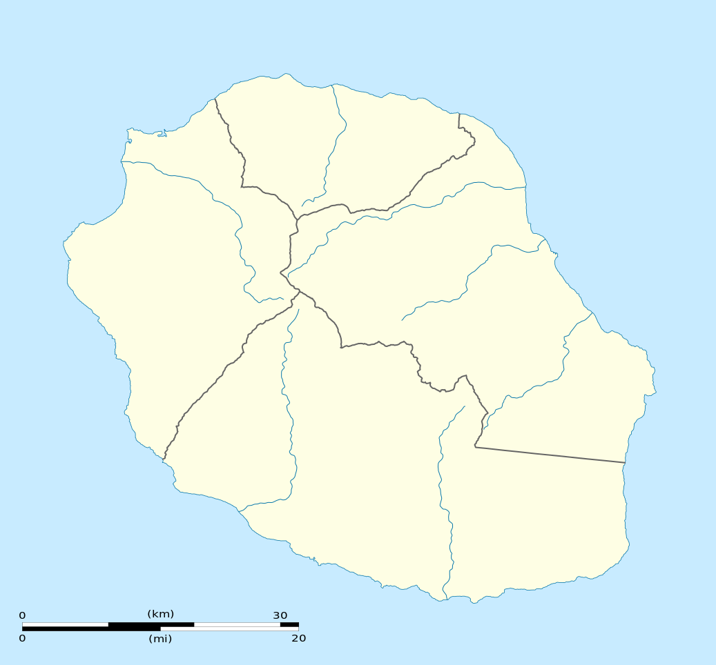
English: Blank physical map of the region and department of Réunion, France, for geo-location purpose.
Français : Carte physique vierge de la région et département de La Réunion, France, destinée à la géolocalisation. Scale: 1:300,000 (precision: 75 m)
Geographic limits of the map:
|
||
| Datum | |||
| Quälle |
Eigeni Arbet
|
||
| Urheber | Eric Gaba (Sting - fr:Sting) | ||
| Gnähmigung (Wyternutzig vu däre Datei) |
|
||
| Anderi Versione |
|

Lizänzierig[ändere]
Ich haa s Urheberrächt an däm Wärch un vereffetlig s dodermit unter däne Lizänze:
Die Datei isch lizänziert unter dr Creative-Commons-Lizenz Namensnännig – Wytergab unter glyche Bedingige 3.0 nit portiert.
- Du derfsch:
- des Wärch an anderi wytergee – des Wärch kopiere, verbreite un ibertrage
- des Wärch verändere – des Wärch aapasse
- Unter däne Bedingige:
- Namenännig – Du muesch aagmässeni Aagabe zum Urheber un dr Rächt mache, e Link zue dr Lizänz zuefiege un aagee, eb Änderige gmacht wore sin. Die Aagabe chenne in ere aagmässene Art gmacht wäre, aber nit eso, ass dr Yydruck entstoht, ass dr Lizänzgeber Dii oder Dyy Gebruch vum Wärch unterstitze un guetheiße.
- Wytergab unter glyche Bedingige – Wänn du des Wärch veränderesch, umwandlesch oder druf ufböusch, no derfsch s Ergebnis nume unter dr glyche oder ere kumpatible Lizänz wie s Orginal vereffetlige.

|
Des Dokumänt derf kopiert, verbreitet un/oder bearbeitet wäre unter dr Bedingige vu dr GNU-Lizänz fir freji Dokumäntation, Version 1.2 oder ere spetere Version, vereffetligt dur Free Software Foundation. S het keini uuveränderlige Abschnitt, kei vordere Umschlagstext un kei hindere Umschlagstext. E Kopii vu dr Lizänz isch verfiegbar im Abschnitt GNU-Lizänz fir freji Dokumäntation. |
Du chasch sälber e Lizänz uuswehle.
Dateiversione
Klick uf e Zytpunkt zu aazeige, wie s dert usgsäh het.
| Version vom | Vorschaubild | Mäß | Benutzer | Kommentar | |
|---|---|---|---|---|---|
| aktuell | 15:09, 23. Mär. 2009 | | 1.037 × 964 (113 KB) | Sting (Diskussion | Byträg) | == Summary == {{Location|21|07|30|S|55|31|30|E|scale:500000}} <br/> {{Information |Description={{en|Blank administrative map of the department of Réunion, France, for geo-location purpose.}} { |
Du chasch die Datei nit iberschryybe.
Verwändig vu dr Datei
Die 18 Syte bruuche die Datei:
- Location maps of departments of France
- Location maps of regions of France
- User:Sting/Gallery: Location and locator maps
- User:Wikisoft*/Localisation cartes des regions de France
- File:EU Member states and Candidate countries map.svg
- File:EU Member states and Candidate countries map 17 March 2015.svg
- File:France, administrative divisions - Nmbrs (+overseas).svg
- File:France, administrative divisions - Nmbrs (+overseas) - colored.svg
- File:France, administrative divisions - de (+overseas).svg
- File:France, administrative divisions - de (+overseas) - colored.svg
- File:France, administrative divisions until 2015 - de (+overseas) - colored, Noto font.svg
- File:France, administrative divisions until 2015 - en (+overseas) - colored.svg
- File:France, administrative divisions until 2015 - es (+overseas) - colored.svg
- File:France, administrative divisions until 2015 - fr (+overseas) - colored.svg
- File:France (+overseas), administrative divisions - Nmbrs (zoom).svg
- File:La Réunion arrondissement commune map.svg
- File:La Réunion department relief location map.jpg
- Category:Aéroport de Pierrefonds
.svg)
_-_colored.svg)
.svg)
_-_colored.svg)
_-_colored,_Noto_font.svg)
_-_colored.svg)
_-_colored.svg)
_-_colored.svg)
,_administrative_divisions_-_Nmbrs_(zoom).svg)
Wältwyti Dateinutzig
Die andere Wikis bruche die Datei:
- Gebruch uf af.wikipedia.org
- Gebruch uf als.wikipedia.org
- Gebruch uf an.wikipedia.org
- Gebruch uf ar.wikipedia.org
- Gebruch uf az.wikipedia.org
- Gebruch uf be-tarask.wikipedia.org
- Gebruch uf be.wikipedia.org
- Gebruch uf bg.wikipedia.org
- Gebruch uf bs.wikipedia.org
- Gebruch uf ceb.wikipedia.org
- Le Port
- Plantilya:Location map Réunion
- Table Point
- Bayonne (pagklaro)
- Petite Ile
- Possession
- Découverte
- Saint-André (pagklaro)
- Saint-Pierre (pagklaro)
- Eden
- Tapal
- Saint Paul Bay
- Maduran
- Plate
- L'Ilet
- Cap Noir
- Pointe Rouge
- Saint-Leu
- L'Eperon
- Bory
- Bras du Milieu
- Gros Morne
- Lac des Merles
- La Glacière
- La Petite Ile
- Le Grand Bras
- L'Éperon
- Le Petit Bras
- Les Bras
- Les Cascades
- L'Îlet
- Petite Île
Wältwyti Verwändig vu däre Datei aaluege.