File:Lauchheim2.jpg
Here nagîvasyonê
Here lêgerînê

Mezinahiya vê pêşdîtinê: 800 × 600 pîksel. Resolusyonên din: 320 × 240 pîksel | 640 × 480 pîksel | 1024 × 768 pîksel | 1280 × 960 pîksel | 2560 × 1920 pîksel | 4000 × 3000 pîksel.
Dosyeya orjînal (4000 × 3000 pixel, mezinbûnê data: 5,92 MB, MIME-typ: image/jpeg)
Captions
Captions
Add a one-line explanation of what this file represents
Danasîn[biguhêre]
| Danasîn |
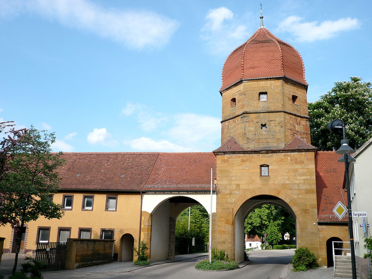
English: Lauchheim, Oberes Tor |
| Dîrok | |
| Çavkanî | Min çêkir |
| Xwedî | Ramessos |
| Şûnda objeyê | | Ev wêne û yên din li ser OpenStreetMap |
|---|
Lîsans[biguhêre]
| I, the copyright holder of this work, release this work into the public domain. This applies worldwide. In some countries this may not be legally possible; if so: I grant anyone the right to use this work for any purpose, without any conditions, unless such conditions are required by law. |
Dîroka daneyê
Ji bo dîtina guhartoya wê demê bişkoka dîrokê bitikîne.
| Dîrok/Katjimêr | Wêneyê biçûk | Mezinahî | Bikarhêner | Şirove | |
|---|---|---|---|---|---|
| niha | 21:27, 28 tebax 2008 | | 4000 x 3000 (5,92 MB) | Ramessos (gotûbêj | beşdarî) | {{Information |Description={{en|1=Lauchheim, Oberes Tor}} |Source=Own work by uploader |Author=Ramessos |Date=May 2008 |Permission= |other_versions= }} <!--{{ImageUpload|full}}--> |
Tu nikarî cardin li ser vê dosyeyê binivîsînî.
Bikaranîna pelê
Ev 2 rûpel li jêr vê dosyeyê bi kar tînin:
Bikaranîna gerdûnî ya pelê
Ev wîkiyên di rêzê de vê pelê bi kar tînin:
- Bikaranîna di ar.wikipedia.org de
- Bikaranîna di arz.wikipedia.org de
- Bikaranîna di azb.wikipedia.org de
- Bikaranîna di ceb.wikipedia.org de
- Bikaranîna di ce.wikipedia.org de
- Bikaranîna di de.wikipedia.org de
- Bikaranîna di de.wikivoyage.org de
- Bikaranîna di en.wikipedia.org de
- Bikaranîna di fa.wikipedia.org de
- Bikaranîna di fr.wikipedia.org de
- Bikaranîna di hu.wikipedia.org de
- Bikaranîna di id.wikipedia.org de
- Bikaranîna di ja.wikipedia.org de
- Bikaranîna di ka.wikipedia.org de
- Bikaranîna di ku.wikipedia.org de
- Bikaranîna di lld.wikipedia.org de
- Bikaranîna di lmo.wikipedia.org de
- Bikaranîna di ms.wikipedia.org de
- Bikaranîna di pam.wikipedia.org de
- Bikaranîna di pl.wikipedia.org de
- Bikaranîna di pt.wikipedia.org de
- Bikaranîna di ro.wikipedia.org de
- Bikaranîna di ru.wikipedia.org de
- Bikaranîna di sr.wikipedia.org de
- Bikaranîna di sv.wikipedia.org de
- Bikaranîna di tr.wikipedia.org de
- Bikaranîna di tt.wikipedia.org de
- Bikaranîna di uk.wikipedia.org de
- Bikaranîna di uz.wikipedia.org de
- Bikaranîna di vi.wikipedia.org de
- Bikaranîna di www.wikidata.org de