File:LocationOceans.png
Pumunta sa nabigasyon
Pumunta sa paghahanap
Laki ng pasilip na ito: 800 x 407 na pixel. Ibang resolusyon: 320 x 163 na pixel | 640 x 326 na pixel | 1,024 x 521 na pixel | 1,280 x 651 na pixel | 2,759 x 1,404 na pixel.
Orihinal na file (2,759 × 1,404 na pixel, laki: 55 KB, uri ng MIME: image/png)
Captions
Captions
Add a one-line explanation of what this file represents

|
This locator map image could be re-created using vector graphics as an SVG file. This has several advantages; see Commons:Media for cleanup for more information. If an SVG form of this image is available, please upload it and afterwards replace this template with
{{vector version available|new image name}}.
It is recommended to name the SVG file “LocationOceans.svg”—then the template Vector version available (or Vva) does not need the new image name parameter. |
Buod[baguhin]
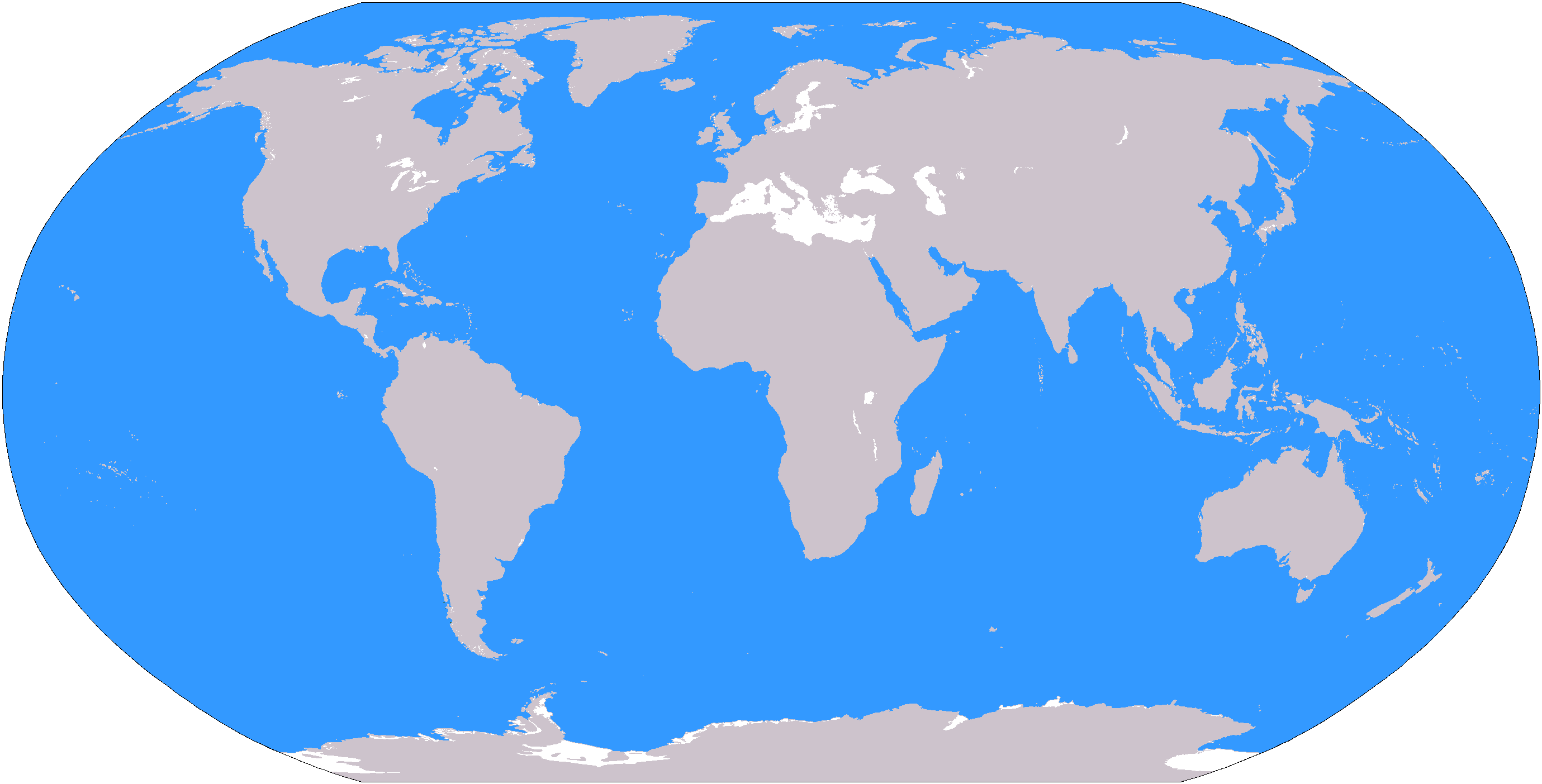
The large plain-grey Image:LocationWorld.png map modified to show oceanic areas in blue.
Paglilisensiya[baguhin]
This image is in the public domain because it contains materials that originally came from the United States Central Intelligence Agency's World Factbook.
|
 |
Nakaraan ng file
Pindutin ang isang petsa/oras para makita ang file noong puntong yon.
| Petsa/Oras | Thumbnail | Sukat | Tagagamit | Komento | |
|---|---|---|---|---|---|
| ngayon | 19:26, 8 Marso 2006 | | 2,759 × 1,404 (55 KB) | David Kernow~commonswiki (usapan | ambag) | The large plain-grey Image:LocationWorld.png map modified to show oceanic areas in blue. |
Hindi mo mao-overwrite ang file na ito.
Paggamit sa file
Ginagamit ng sumusunod na pahina ang file na ito:
Pandaigdigang paggamit sa file
Ginagamit ng mga sumusunod na wiki ang file na ito:
- Paggamit sa af.wikipedia.org
- Australasië
- Midde-Ooste
- Sentraal-Amerika
- Atlantiese Oseaan
- Suider-Afrika
- Indiese Oseaan
- Suidelike Oseaan
- Arktiese Oseaan
- Stille Oseaan
- Latyns-Amerika
- Oos-Asië
- Sjabloon:Gebiede van die wêreld
- Noord-Europa
- Melanesië
- Mikronesië
- Polinesië
- Oos-Afrika
- Wes-Afrika
- Noord-Afrika
- Oos-Europa
- Verre Ooste
- Sentraal-Afrika
- Afrika suid van die Sahara
- Seelandië
- Noordpoolgebied
- Karibiese gebied
- Indiese subkontinent
- Suidoos-Asië
- Wes-Asië
- Wes-Europa
- Suid-Europa
- Suid-Asië
- Sentraal-Asië
- Sentraal-Europa
- Suidoos-Europa
- Noord-Asië
- Paggamit sa ar.wikipedia.org
Tingnan ang karagdagang pandaigdigang paggamit sa file na ito.