File:Location map Hong Kong urban core.png
跳转到导航
跳转到搜索

本预览的尺寸:523 × 600像素。 其他分辨率:209 × 240像素 | 418 × 480像素 | 670 × 768像素 | 893 × 1,024像素 | 1,786 × 2,048像素 | 4,580 × 5,253像素。
原始文件 (4,580 × 5,253像素,文件大小:11.55 MB,MIME类型:image/png)
说明
说明
添加一行文字以描述该文件所表现的内容
摘要
[编辑]
| 描述 |
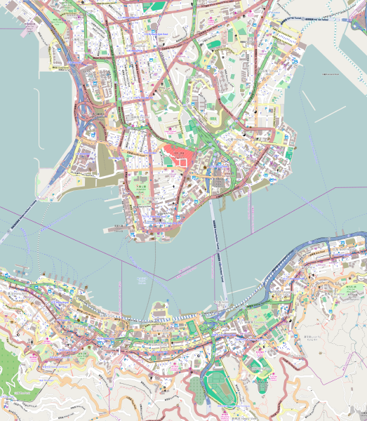
English: Map of the Hong Kong urban core
Geographic limits of the map:
|
| 日期 | |
| 来源 | OpenStreetMap (direct link) |
| 作者 | OpenStreetMap editors |
许可协议
[编辑]
| This work contains information from OpenStreetMap, which is made available under the Open Database License (ODbL).
The ODbL does not require any particular license for maps produced from ODbL data. Prior to 1 August 2020, map tiles produced by the OpenStreetMap Foundation were licensed under the CC-BY-SA-2.0 license. Maps produced by other people may be subject to other licences. |
文件历史
点击某个日期/时间查看对应时刻的文件。
| 日期/时间 | 缩略图 | 大小 | 用户 | 备注 | |
|---|---|---|---|---|---|
| 当前 | 2014年10月24日 (五) 14:56 | | 4,580 × 5,253(11.55 MB) | Jc86035(留言 | 贡献) | Replaced with version one zoom up and rendered pixel-doubled in Inkscape, and also using the default tiles instead of MapQuest's because the latter are copyrighted by MapQuest and not CC-BY-SA. |
| 2014年10月7日 (二) 11:48 |  | 645 × 741(831 KB) | Underbar dk(留言 | 贡献) | User created page with UploadWizard |
您不可以覆盖此文件。
文件用途
没有页面使用本文件。
全域文件用途
以下其他wiki使用此文件:
- ar.wikipedia.org上的用途
- en.wikipedia.org上的用途
- The Peninsula Hong Kong
- Prince Edward station
- Mong Kok station
- Yau Ma Tei station
- Central station (MTR)
- East Tsim Sha Tsui station
- Admiralty station (MTR)
- Hong Kong station
- Whampoa station
- Ho Man Tin station
- Tsim Sha Tsui station
- Jordan station
- Sheung Wan station
- Wan Chai station
- Causeway Bay station
- Tin Hau station
- Fortress Hill station
- North Point station
- Olympic station
- Exhibition Centre station (MTR)
- Kowloon station (MTR)
- Mong Kok East station
- Hung Hom station
- Tamar station
- Hong Kong Cultural Centre
- Austin station (MTR)
- Cordis Hong Kong
- Sung Wong Toi station
- To Kwa Wan station
- Causeway Bay North station
- User:KX675/Sandbox
- 2014 Hong Kong protests
- Module:Location map/data/Hong Kong urban core
- Module:Location map/data/Hong Kong urban core/doc
- eo.wikipedia.org上的用途
- fa.wikipedia.org上的用途
- fr.wikipedia.org上的用途
- ja.wikipedia.org上的用途
查看此文件的更多全域用途。