File:Location map Lower Manhattan.png
跳至導覽
跳至搜尋
預覽大小:494 × 599 像素。 其他解析度:198 × 240 像素 | 395 × 480 像素 | 820 × 995 像素。
原始檔案 (820 × 995 像素,檔案大小:1.01 MB,MIME 類型:image/png)
說明
說明
添加單行說明來描述出檔案所代表的內容
| 描寫 |
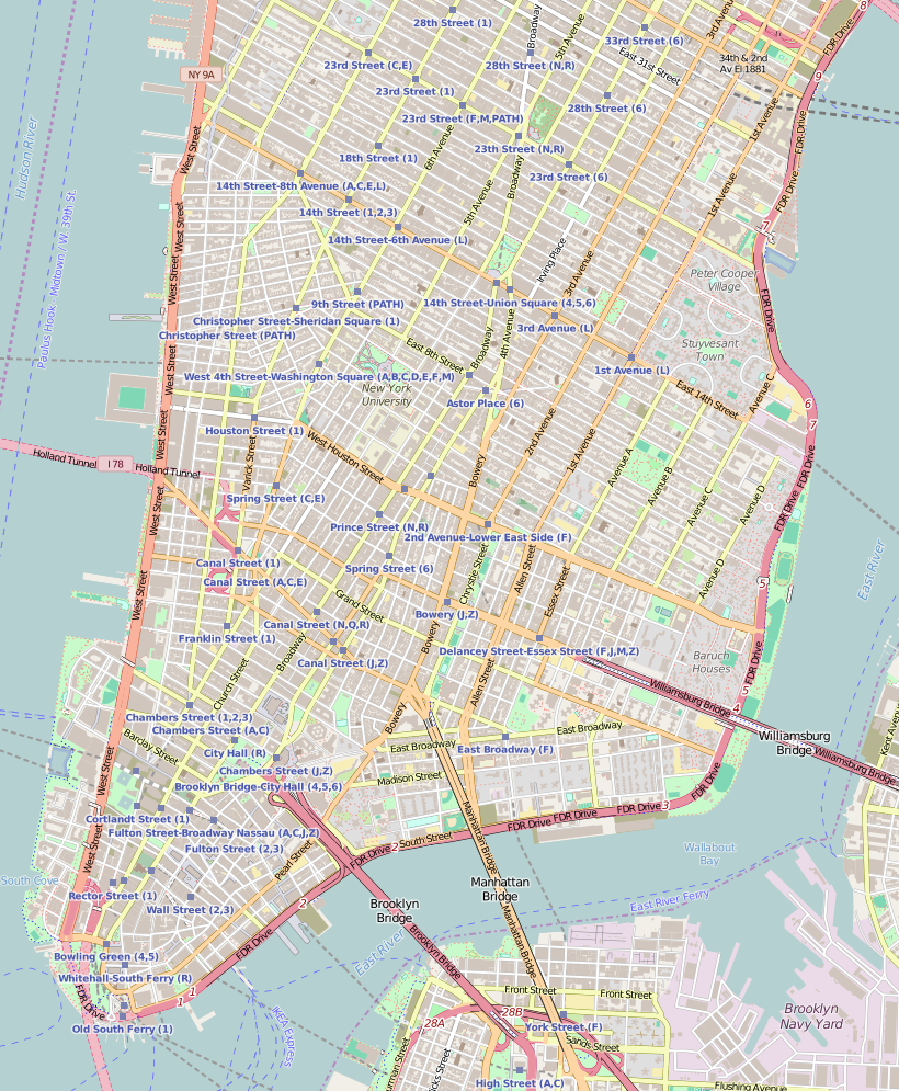
Map of Lower Manhattan 本Lower Manhattan 的地圖以OpenStreetMap計畫資料建立,由社群收集。 此地圖可能不完整,也可能包含錯誤。別只用它當導航。 |
|||||||||
| 日期 | ||||||||||
| 來源 | 您可以在Lower Manhattan, New York City, and a little more to the north的OpenStreetMap wiki頁面找到有關頁面 | |||||||||
| 創作作者 |
OpenStreetMap contributors OpenStreetMap 貢獻者 |
|||||||||
| 授權許可 (重用此檔案) |
OpenStreetMap的資料依據開放資料庫授權條款(細節)提供。圖磚採用創用CC姓名標示-相同方式分享 2.0(CC-BY-SA 2.0)條款授權。
此檔案採用創用CC 姓名標示-相同方式分享 2.0 通用版授權條款。
|
|||||||||
| Geotemporal data | ||||||||||
| 邊框 |
|
|||||||||
| 地理參考 | 如果不合適,請設定「warp_status = skip」為隱藏。 | |||||||||
檔案歷史
點選日期/時間以檢視該時間的檔案版本。
| 日期/時間 | 縮圖 | 尺寸 | 使用者 | 備註 | |
|---|---|---|---|---|---|
| 目前 | 2016年8月3日 (三) 11:52 | | 820 × 995(1.01 MB) | Dr. Blofeld(留言 | 貢獻) | {{Information |Description ={{en|1=f}} |Source =f |Author =f |Date =f |Permission = |other_versions = }} |
無法覆蓋此檔案。
檔案用途
沒有使用此檔案的頁面。
全域檔案使用狀況
以下其他 wiki 使用了這個檔案:
- ar.wikipedia.org 的使用狀況
- bn.wikipedia.org 的使用狀況
- en.wikipedia.org 的使用狀況
- Hotel Chelsea
- South Street Seaport
- Henry Street Settlement
- Judson Memorial Church
- Madison Square and Madison Square Park
- Meatpacking District, Manhattan
- Pearl Street (Manhattan)
- Eldridge Street Synagogue
- Lower East Side Tenement Museum
- United States Post Office (Cooper Station)
- First Roumanian-American Congregation
- Grace Church (Manhattan)
- Ukrainian Museum
- Bouwerie Lane Theatre
- Congregation Talmud Torah Adereth El
- Marble Collegiate Church
- Church of St. Joseph in Greenwich Village
- Bialystoker Synagogue
- Kehila Kedosha Janina
- Beth Hamedrash Hagodol
- University Settlement Society of New York
- New York City Marble Cemetery
- Kitchen, Montross & Wilcox Store
- 203 Prince Street
- St. Peter's Church (Manhattan)
- Alfred E. Smith House
- St. James Roman Catholic Church (Manhattan)
- Mariner's Temple
- John Street Methodist Church
- Cary Building (New York City)
- Soho Synagogue
- Colonnade Row
- Angel Orensanz Center
- Congregation Chasam Sopher
- 23rd Street Fire
- Meserich Synagogue
- St. Mark's Historic District
- New York Landmarks Conservancy
- Robbins & Appleton Building
- 56 Pine Street
- 361 Broadway
- Stanton Street Synagogue
- Fulton–Nassau Historic District
- 63 Wall Street
- St. Augustine's Church (Manhattan)
- Trinity Chapel Complex
檢視此檔案的更多全域使用狀況。